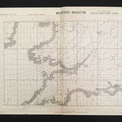
Catty, Martin Arthur. Gee charts
Title
Catty, Martin Arthur. Gee charts
Description
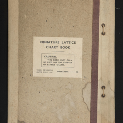
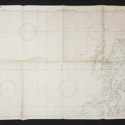
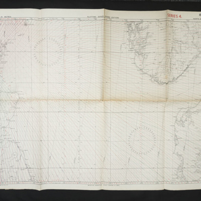
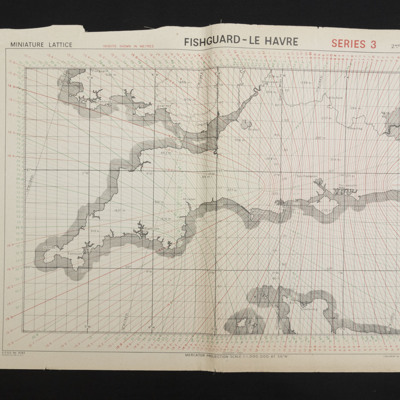
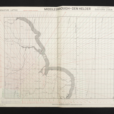
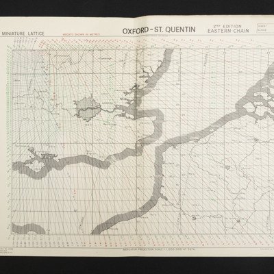
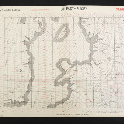
Nine items. Miniature Lattice Chart book containing charts for Great Britain and the surrounding seas.
Publisher
IBCC Digital Archive
Rights
This content is available under a CC BY-NC 4.0 International license (Creative Commons Attribution-NonCommercial 4.0). It has been published ‘as is’ and may contain inaccuracies or culturally inappropriate references that do not necessarily reflect the official policy or position of the University of Lincoln or the International Bomber Command Centre. For more information, visit https://creativecommons.org/licenses/by-nc/4.0/ and https://ibccdigitalarchive.lincoln.ac.uk/omeka/legal.
Identifier
CCattyMA-180822-01
Collection Items
Fishguard-Le Havre
Gee chain chart, sheet 1 covering the south of England and Wales and the very north of France.
Collection Tree
- Catty, Martin Arthur
- Catty, Martin Arthur. Gee charts

