Browse Items (8 total)
- Tags: technical building
Sort by:
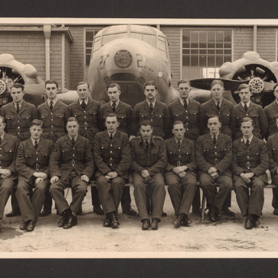
Don Falgate with fellow students on Air Navigation course Port Albert, Canada
Formal photograph of Don Falgate with 22 other students, in two rows, in uniform, Anson and technical building in background. Captioned 'RCAF Port Albert, Ontario, Canada. Air Navigators course. Students in front of Avro Anson, one of our training…
Tags: aircrew; Anson; navigator; technical building; training
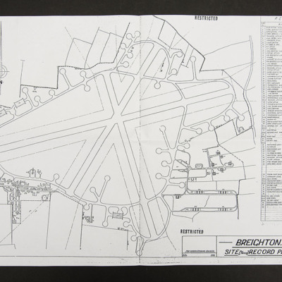
Plan of RAF Breighton
Site record plan, line drawing of runways, perimeter track, dispersals and buildings of RAF Breighton.
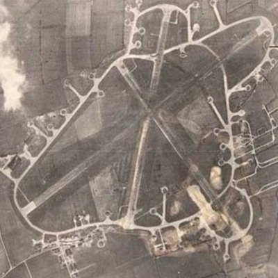
RAF Breighton
Reconnaissance photograph of an airfield with three runways, perimeter track, dispersals and buildings. Submitted with caption 'Aerial view of wartime RAF Breighton'.
This item was sent to the IBCC Digital Archive already in digital form. No…
This item was sent to the IBCC Digital Archive already in digital form. No…
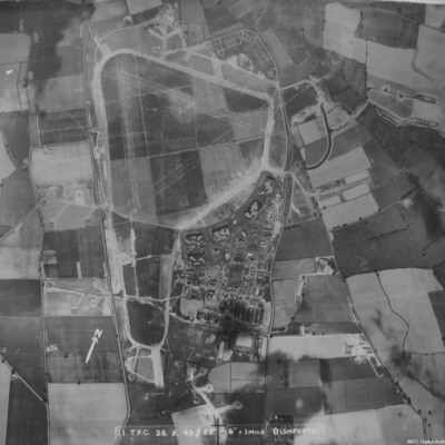
RAF Dishforth
A vertical aerial photograph of Dishforth. Hangars and dispersals can be clearly seen. The central grass area has been camouflaged but the grass runways can be identified. Several aircraft are visible.
It is captioned '11 TPC 28.5.43 //F5" 6"=1 mile…
It is captioned '11 TPC 28.5.43 //F5" 6"=1 mile…
RAF Leeming
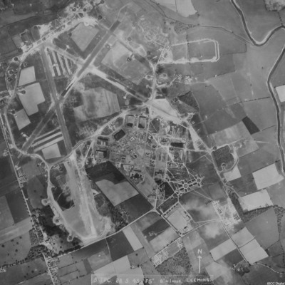
A vertical aerial photograph of Leeming showing the extension to two runways to the south and south east. Halifaxes can be seen on dispersals.
It is annotated '8 TPC 28.5.43// F5" 6" = 1 mile Leeming'.
It is annotated '8 TPC 28.5.43// F5" 6" = 1 mile Leeming'.
RAF Leeming
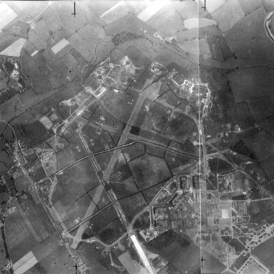
A vertical aerial photograph of Leeming. Camouflage markings can be seen on the airfield.
RAF Stradishall
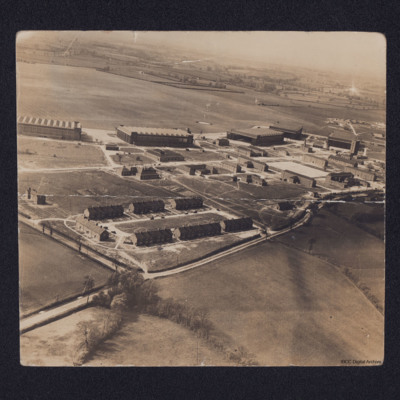
Oblique aerial photograph of a Royal Air Force station and airfield with quarters centre bottom, hangars across the centre with station buildings in front. Beyond is grass airfield. On the reverse a key to locations on the airfield including 'John's…
RAF Tholthorpe
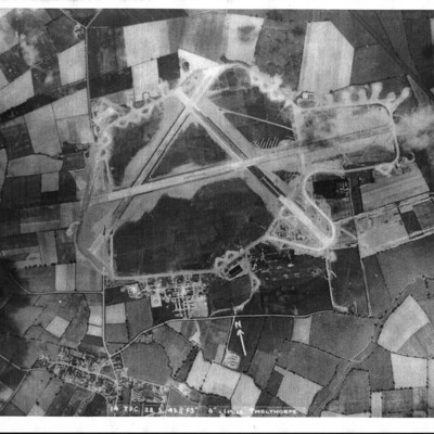
Three vertical aerial photographs of the airfield at Tholthorpe. The first is annotated 'Photo taken 28/5/43 before the photo on the wall in the Pub'. It is also captioned '14 TPC 28.5.43 //F 5" 6"- 1 mile Tholthorpe'.

