Browse Items (108 total)
- Tags: runway
Sort by:
Ontario views
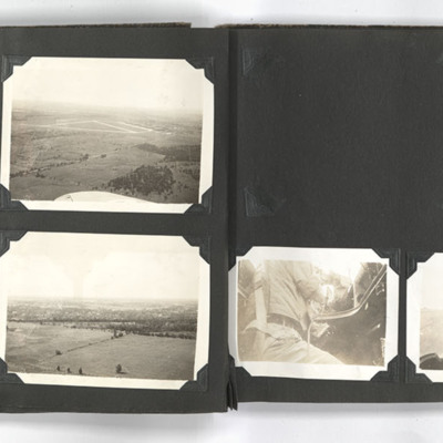
The photograph on the top left of the left page shows an aerial view of Picton airfield Ontario.
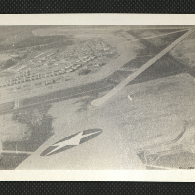
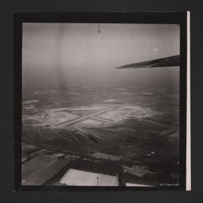
The photograph on the top right of the left page shows an aerial view of Picton airfield with a runway in the background. A wing of an aircraft can be…
The photograph on the top right of the left page shows an aerial view of Picton airfield with a runway in the background. A wing of an aircraft can be…
Tags: aerial photograph; perimeter track; runway
RAF Coningsby
An oblique aerial photograph of RAF Coningsby. On the left identifiers '22' and '26' are visible on tarmac runways. At the top are five hangars and seven camouflaged aircraft parked outside.
Identification kindly provided by David Parker of the…
Identification kindly provided by David Parker of the…
St Johns Airfield, Cathedral, Ron Ridings and No 9 Air Observer's School Sign
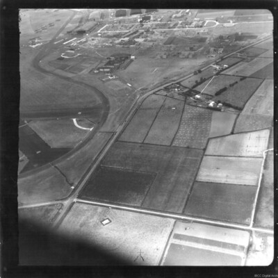
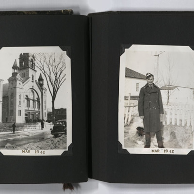
Four photographs from an album. #1 is an oblique aerial photograph of St Johns airfield, Saint-Jean-sur-Richelieu. #2 is Cathedral of Saint-Jean-l'Évangéliste at Saint-Jean-sur-Richelieu. #3 is Ron in trainee uniform and greatcoat. #4 is a sign for…
Tags: aerial photograph; aircrew; observer; perimeter track; runway; taxiway; training
Moody Field
An aerial photograph showing runways and apron at Moody Field, as annotated on the reverse.
Tags: aerial photograph; runway
RAF Skellingthorpe, 1965
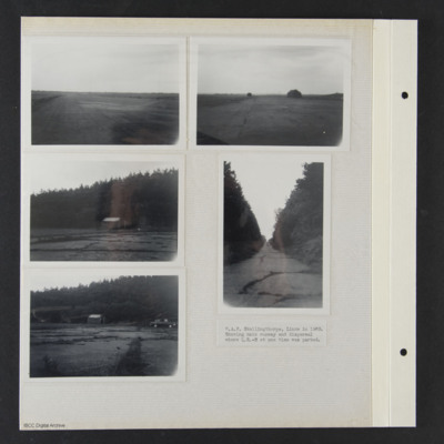
Five photographs of RAF Skellingthorpe captioned 'RAF Skellingthorpe, Lincs in 1965. Showing main runway and dispersal where QR-M at one time was parked'.
Tags: dispersal; RAF Skellingthorpe; runway
RAF Breighton
Reconnaissance photograph of an airfield with three runways, perimeter track, dispersals and buildings. Submitted with caption 'Aerial view of wartime RAF Breighton'.
This item was sent to the IBCC Digital Archive already in digital form. No…
This item was sent to the IBCC Digital Archive already in digital form. No…
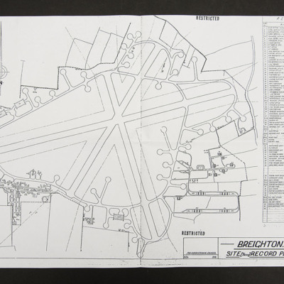
Plan of RAF Breighton
Site record plan, line drawing of runways, perimeter track, dispersals and buildings of RAF Breighton.
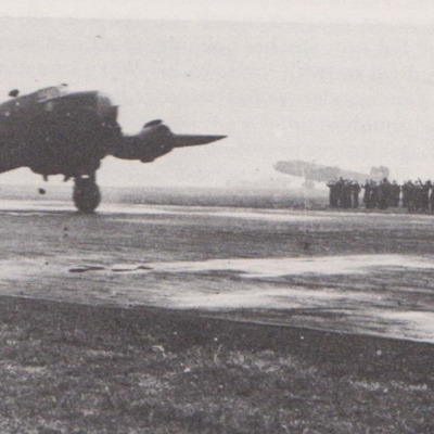
Halifax on runway
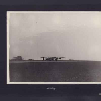
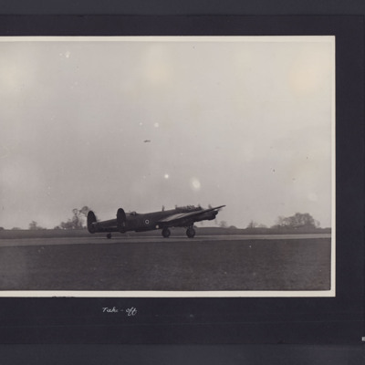
A Halifax with engines running on threshold of runway preparing to take off. On the edge of runway on the right a runway caravan and large group of personnel watching. Behind in the distance a Halifax taxiing.
This item was sent to the IBCC…
This item was sent to the IBCC…
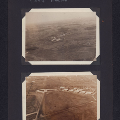
Paulson airfield
Top - view from the air of concrete hardstanding and buildings on an airfield in the distance. Bottom - closer view showing triangular runways, hardstanding and buildings. Captioned '7 B & G Paulson'.
Tags: aerial photograph; hangar; runway; taxiway; training
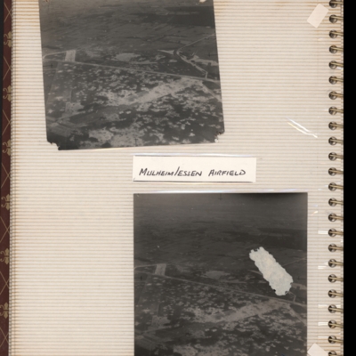
Mulheim/Essen airfield
Top - oblique aerial photograph of an airfield with many bomb craters. Two wide grass runways forming a “V” at bottom left, with taxi-track running left to right across centre of photograph. Hardstanding leads off at top right with two or more…
Tags: aerial photograph; bombing; Cook’s tour; perimeter track; runway
RAF Metheringham
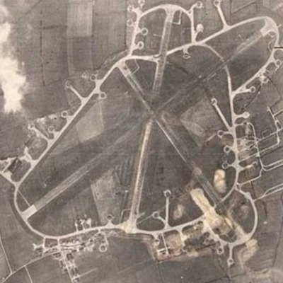
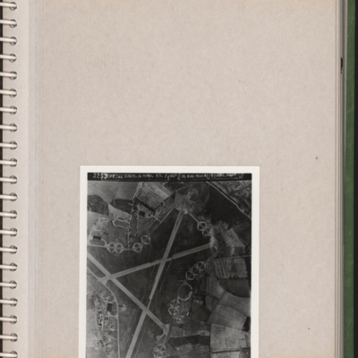
A reconnaissance photograph of an airfield with three runways and dispersals all round. Camp buildings bottom right. Submitted with description 'Aerial photo of RAF Metheringham. Annotated "3253. CPE/UK 2009. 16 April 47. F/20" // 16/400 Multi (4)…
Flying control - Haverfordwest
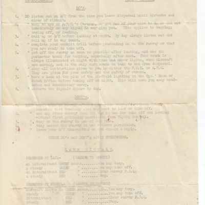
List of do's and don'ts for flying operations at Haverfordwest as well as a list of lamp signals and a map of the airfield with runways and dispersals marked.
Tags: dispersal; perimeter track; runway
Beaulieu Airfield
Two oblique aerial photographs.
Photo 1 covers the airfield which has a three runway layout.
Photo 2 has the airfield in the distance but in the centre is many buildings. There are lines of unidentified objects covering substantial areas of the…
Photo 1 covers the airfield which has a three runway layout.
Photo 2 has the airfield in the distance but in the centre is many buildings. There are lines of unidentified objects covering substantial areas of the…
Tags: aerial photograph; runway
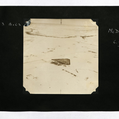
No 3 BAGS McDonald
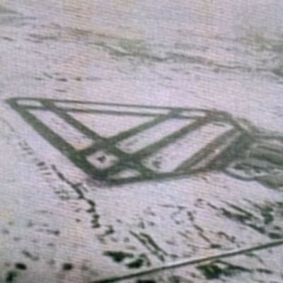
An aerial view of McDonald airfield surrounded by snow, captioned 'McDonald 6,000 ft'.
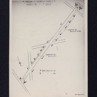
Sodium Flarepath Type F Middleton St George
A sketch map of the lights on runway 06/24 at RAF Middleton St George.
Tags: RAF Middleton St George; runway
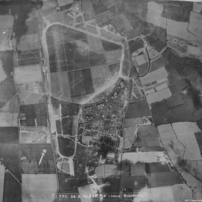
RAF Dishforth
A vertical aerial photograph of Dishforth. Hangars and dispersals can be clearly seen. The central grass area has been camouflaged but the grass runways can be identified. Several aircraft are visible.
It is captioned '11 TPC 28.5.43 //F5" 6"=1 mile…
It is captioned '11 TPC 28.5.43 //F5" 6"=1 mile…
RAF Tholthorpe
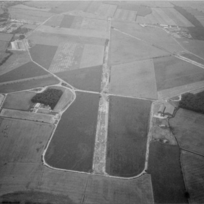
Three aerial photographs of Tholthorpe. Dates were supplied with the collection.
Photo 1 is an oblique taken in the 1970s. Information supplied with the collection states 'The disused Tholthorpe airfield in the 1970s looking towards the west. The…
Photo 1 is an oblique taken in the 1970s. Information supplied with the collection states 'The disused Tholthorpe airfield in the 1970s looking towards the west. The…
RAF Leeming
A vertical aerial photograph of Leeming. Camouflage markings can be seen on the airfield.
RAF Leeming
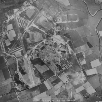
A vertical aerial photograph of Leeming showing the extension to two runways to the south and south east. Halifaxes can be seen on dispersals.
It is annotated '8 TPC 28.5.43// F5" 6" = 1 mile Leeming'.
It is annotated '8 TPC 28.5.43// F5" 6" = 1 mile Leeming'.
RAF Leeming
A copy of a vertical aerial photograph of Leeming with an annotation 'Dispersal for "A-Able" -429'.
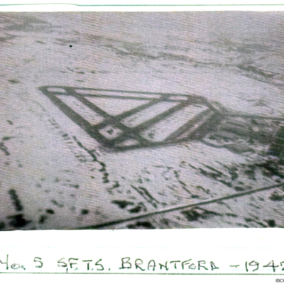
Brantford - 1942
An oblique view of Brantford aerodrome captioned 'No 5 SFTS Brantford -1942'. The ground is snow covered.

