Browse Items (161 total)
- Tags: reconnaissance photograph
Sort by:
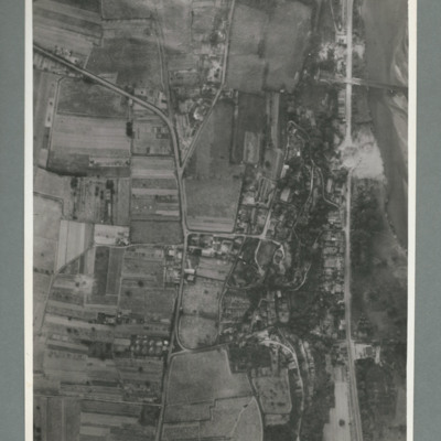
Saumur railway bridge and tunnel
Reconnaissance photograph showing road running top to bottom on the right side. To the right a river. Top right a railway bridge with rail line running into a tunnel just left of road. To the left of the road a built up area. A crater is visible on…
Saumur railway tunnel
Reconnaissance photograph showing entrance of railway tunnel with large crater just above. Two other craters on approach line with others to the left and right. On the reverse '8.7.44, W.S. G94, 51:92/20'.
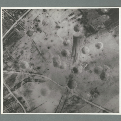
Saumur railway tunnel
Reconnaissance photograph showing entrance of railway tunnel one quarter way down in centre with large crater to right of entrance. Other craters to the left of entrance. three roads join top slightly left and run to left and right sides. On the…
Boulogne
Reconnaissance photograph showing the town to the bottom right with port area in the top right quadrant. Many bomb craters can be seen around the port area. On the reverse 'Date 11.7.44, WS, G108, 51:04/5, photo 178'.
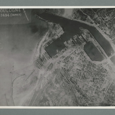
Boulogne
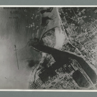
Reconnaissance photograph of the port of Boulogne. Numerous craters can be seen on land above the port entrance and around the dock area on the bottom of the image. Captioned 'Boulogne Sur Mer, K2494, scale 1:10,700'. On the reverse 'Date 11.7.44,…
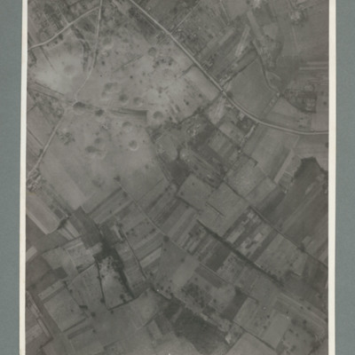
Watten
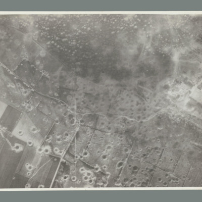
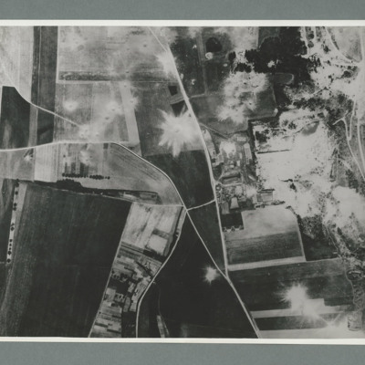
Reconnaissance photograph showing open countryside with fields. Road runs top left to middle right and another from middle to bottom. The whole bottom half of the image is covered with craters. On the reverse 'WATTEN. THE WHOLE TARGET AREA HAS BEEN…
Siracourt
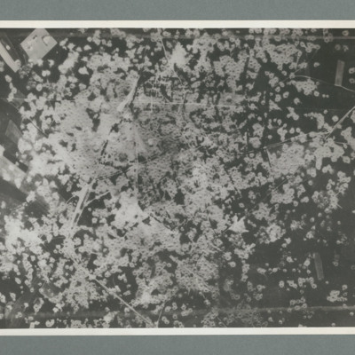
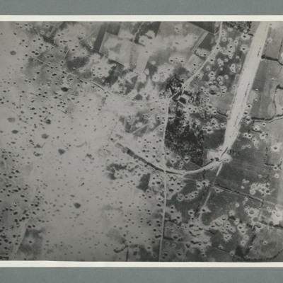
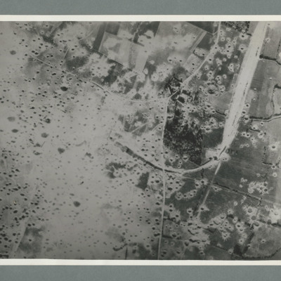
Reconnaissance photograph showing area completely covered by many craters. On thew reverse 'Date 11.7.44, Unit WS, Neg No. G109'
St Leu D'Esserent
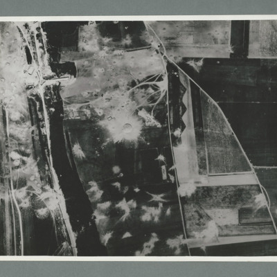
Reconnaissance photograph showing a wooded area running top to bottom on the left with a road, railway to its left. On the right two roads run from the bottom joining top centre. There are a large number of craters to the left of the river and top…
St Leu D'Esserent
Reconnaissance photograph showing open countryside with fields. Road railway runs top right to bottom right. Road runs from bottom centre/right and splits, one going top top centre and the other to top left. There are a large number of craters on…
Mimoyecques
Reconnaissance photograph showing open countryside with fields. A railway runs from top right downwards then loops to the left, culminating in the centre, The left side is covered in multiple craters. Craters on the right side are less concentrated.…
Mimoyecques
Target photograph showing open countryside with heavily cratered area in the centre. Caption '362, WS, 6.7.44, 8", 15600, [....], 1534, Mimoyecques RD, X, 1 x 12000, C, 35 secs, [..]earn, X, 617'. On the reverse '5:99/5, Photo 282'.
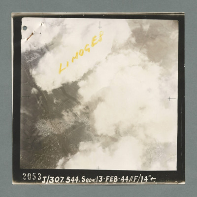
Limoges
Reconnaissance photograph showing buildings on the left through a gap in clouds. Captioned 'Limoges' On the bottom '2053, J/307.544 Sqdn. 13.Feb.44, //F/14"'. On the reverse 'K144'.
Aircraft factory at Albert
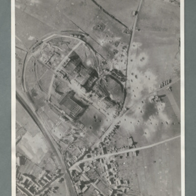
Reconnaissance photograph showing a railway line bottom left and an industrial area circled by a road in the centre. There are a number of craters to the right side of the industrial area. On the reverse 'Secret, Con G.412'
La Ricamerie factory
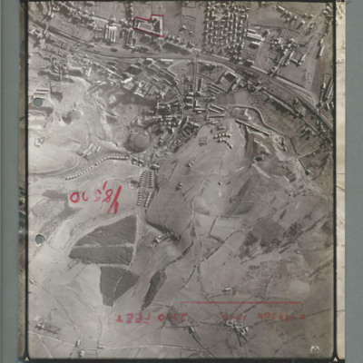
Reconnaissance photograph showing built up area at the top with railway line running left to right, There is a red line surrounding a small industrial area top slightly to the left of centre. There is a scale marked showing 2000 ft and 'Y8,520'…
Le Havre
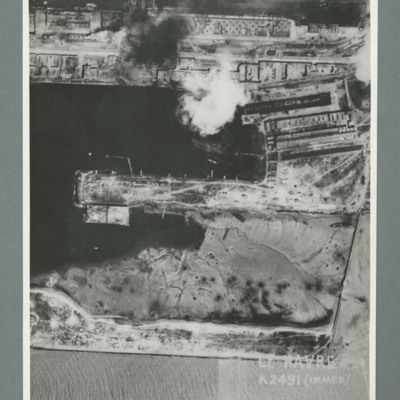
Reconnaissance photograph showing a damaged port area with a basin orientated left right with a pier in the centre. Caption 'Le Havre K2491(IMMED)'. On the reverse 'Date 11.7.44, Unit WS, Neg No. G103, 51:53'. Dock area has been heavily bombed, with…
Little Walsingham
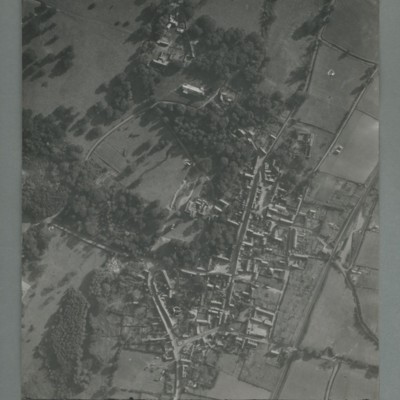
Reconnaissance photograph of a village surrounded by open fields. A main road runs top centre to bottom. The image is orientated with south at the top. Captioned '0020, OCU331, 006519Sep55.1445Z, 20"Can/50 F/O JONES, RESTD'. On the reverse…
Cologne
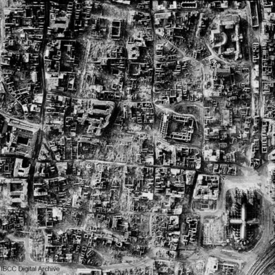
A vertical photograph taken of the destruction of Cologne. Almost every building has been destroyed. The cathedral is in the bottom right corner. Submitted with caption: 'The results of bombing on the centre of the German city of Cologne, February…
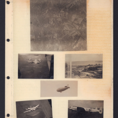
Places, Good Will tour Lancasters and airship
Top - reconnaissance photograph of town on left with roads and open countryside on right.
Middle left - Air-to-air view of formation of four Lancasters in light paint scheme over open countryside. The tail plane of aircraft from which photo…
Middle left - Air-to-air view of formation of four Lancasters in light paint scheme over open countryside. The tail plane of aircraft from which photo…
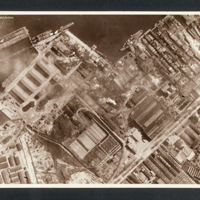
Rostock
Reconnaissance photograph showing at top a port area (Naptun Shipbuilding Yards) with several ships docked. Water at top and built up area of port and industrial buildings below. Some fires visible. Captioned between pages 22-23 of 1956 Memoir…
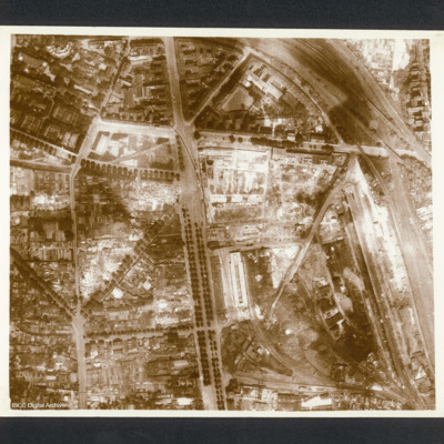
Cologne
Reconnaissance photograph photograph of city centre with major road running top to bottom and railway lines on right side. Captioned in 1956 Memoir between pages 26-27 'Cologne after first 1,000 Bomber raid 1942'. On the reverse 'Cologne, C2550'.
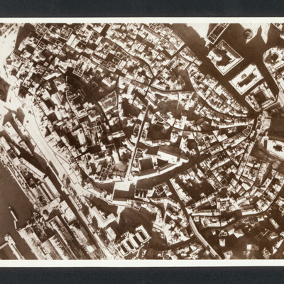
Genoa
Reconnaissance photograph photograph showing city centre with port bottom left.. Captioned between pages 35-36 of 1956 Memoir '“Genoa Italy” Damage in Ansaldo fitting out yard after raids in late 1942 [written down left hand side of page]'. On…
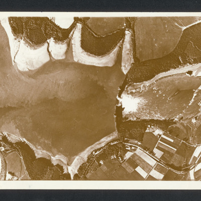
Mohne Dam
Reconnaissance photograph with lake on the left and a dam middle with breach with water flowing through. Captioned between pages 46-47 of 1956 Memoir [written vertically on LHS of page presumably for landscape orientation of photo] 'Mohne Dam. The…
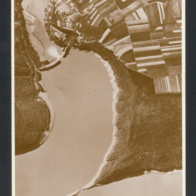
Eder Dam
Reconnaissance photograph showing lake on left with breached dam half way up on left. Farmland fields top right. Captioned between page 47-48 of 1956 Memoir '[heading] 617 Squadron [/heading]
[caption - written vertically on LHS of page presumably…
[caption - written vertically on LHS of page presumably…
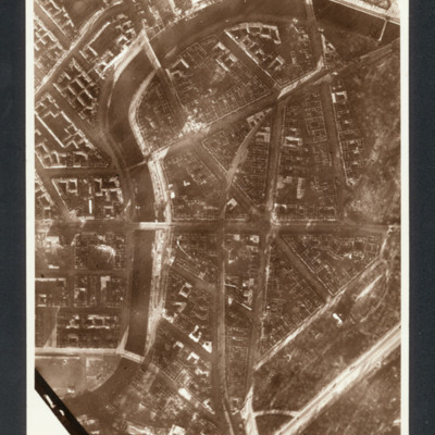
Berlin
Reconnaissance photograph showing central Berlin area (Moabit district- north of the Tiergarten ) Spree river curving from bottom left to top then top right with buildings and roads. Left centre is Hansa Platz.
Captioned between pages 51-52 of…
Captioned between pages 51-52 of…
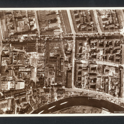
Berlin
Reconnaissance photograph showing a city with river at the bottom (part of Charlottenburg and Moabit district). Annotated with divisions into numbered areas. Captioned between pages 56-57 of 1956 Memoir '“BERLIN”, after raid in 1944, 1. Machine…

