Browse Items (161 total)
- Tags: reconnaissance photograph
Sort by:
Aircraft factory at Albert
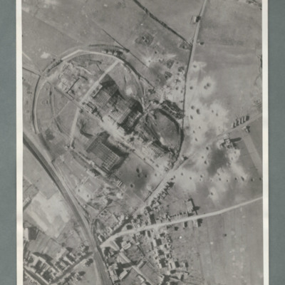
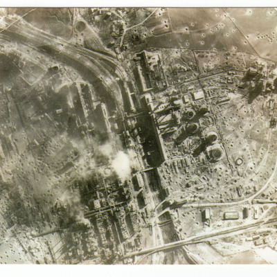
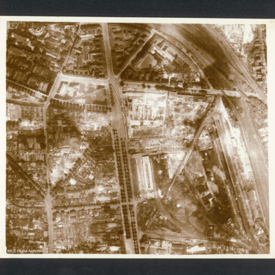
Reconnaissance photograph showing a railway line bottom left and an industrial area circled by a road in the centre. There are a number of craters to the right side of the industrial area. On the reverse 'Secret, Con G.412'
An account of the briefing for an operation to Essen
An extremely detailed account of the No 51 Squadron briefing for the operation to Essen on 28/29 November 1944 by Henry. It includes all the specialist officers as well as the Station Commander's brief. It also includes Henry's crew, Station and…
Tags: 100 Group; 3 Group; 4 Group; 51 Squadron; aerial photograph; aircrew; briefing; debriefing; Gee; ground personnel; H2S; Halifax; Halifax Mk 3; incendiary device; Lancaster; meteorological officer; Oboe; Pathfinders; propaganda; RAF Snaith; reconnaissance photograph; target indicator; target photograph; Window
Argentan Marshalling Yard
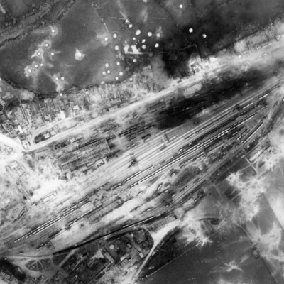
A vertical aerial photograph showing rail marshalling yard at Argentan. Road running parallel to railway tracks from lower left to upper right (now D158) with another joining from top left (now D238A). Argentan railway station is visible opposite…
Berlin
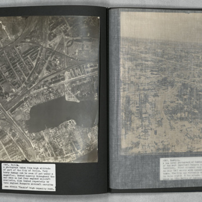
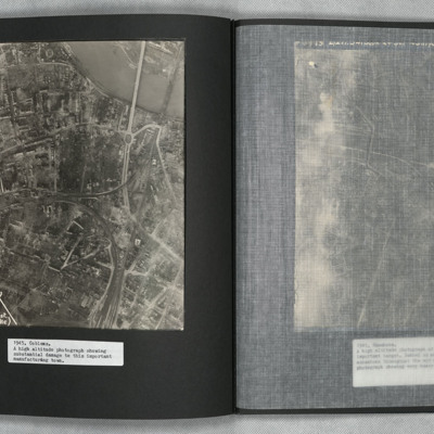
A vertical aerial photograph of Berlin showing heavy bomb damage. The body of water is the Rummelsburger See, with the railway station of Ostkreuz to the left of it at the confluence of railway tracks running from lower left to top right and from…
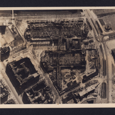
Berlin
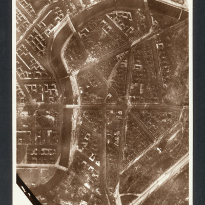
Reconnaissance photograph showing central Berlin area (Moabit district- north of the Tiergarten ) Spree river curving from bottom left to top then top right with buildings and roads. Left centre is Hansa Platz.
Captioned between pages 51-52 of…
Captioned between pages 51-52 of…
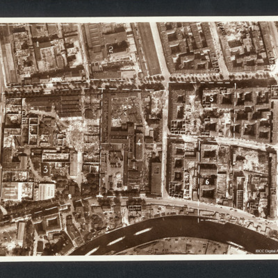
Berlin
Reconnaissance photograph showing a city with river at the bottom (part of Charlottenburg and Moabit district). Annotated with divisions into numbered areas. Captioned between pages 56-57 of 1956 Memoir '“BERLIN”, after raid in 1944, 1. Machine…
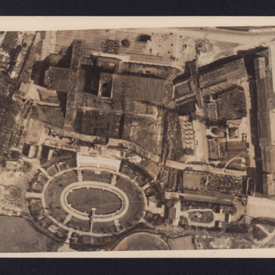
Berlin Short Wave Station
A vertical aerial photograph of bombed buildings. These are two exhibition buildings of the Charlottenburg Fairgrounds adjacent to the Berlin Short Wave Radio transmitter. On the reverse is a typed note dated 18 April 1944 explaining the function of…
Berlin Short Wave Station Charlottenburg
Reconnaissance photograph of the short wave radio station at Charlottenburg, Berlin. Small amount of bomb damage is visible, with a few roofless buildings, The radio mast (Funkturm) can be seen by its shadow from its base at the right towards the…
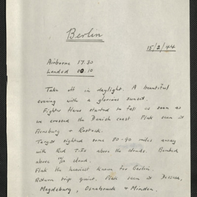
Berlin, Edward King's 2nd operation of his tour
Seven items, Edward's description of the operation, his navigation plot, a map of Berlin. Press clippings captioned 'Vast areas of Berlin are like this' shows an area of about 280 acres showing the large amount of bomb damage. There is another press…
Bocholt
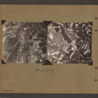
Left and right - side by side reconnaissance photographs showing the centre of the town of Bocholt with river Bocholter Aa flowing top to bottom with two distinctive bow’s to the right towards the top of the photograph. The large road crossing…
Bohlen Synthetic Oil Plant
A vertical aerial photograph of a severely damaged oil plant at Bohlen. On the reverse 'Synthetic oil plant at Bohlen taken by recce aircraft 20/2/1945'.
Bomb damage
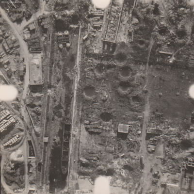
Reconnaissance photograph at low level of goods yard with significant bomb damage with craters and destroyed buildings throughout. A drained canal runs top to bottom with large barge aground against quay and another smaller pair tied together at top.…
Bomb damage
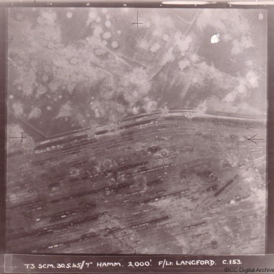
Four photographs of damage to German cities taken on two of the 'Cooks Tours' flown by no 153 Squadron.
The first has the caption 'T3 SCM 30.5.45//7" HAMM 2,000'. F/LT LANGFORD C.153 and shows Hamm railway marshalling yard with tracks running from…
The first has the caption 'T3 SCM 30.5.45//7" HAMM 2,000'. F/LT LANGFORD C.153 and shows Hamm railway marshalling yard with tracks running from…
Bombed city
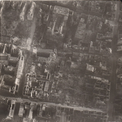
Reconnaissance photograph of part of a city with damaged buildings.
Book reviews and cartoon
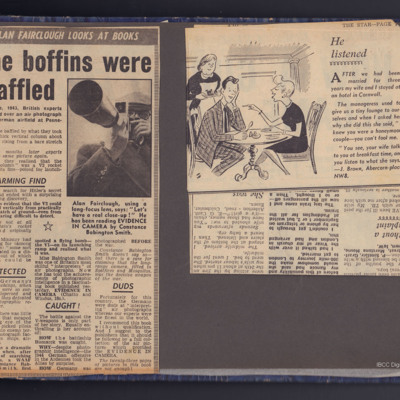
Three clippings from The Star, the first reviewing a book written by Constance Babington-Smith, Evidence in Camera describing the work done by the Photographic Interpreters.
The second a cartoon.
The third dated October 17th 1957 is a book review…
The second a cartoon.
The third dated October 17th 1957 is a book review…
Boulogne
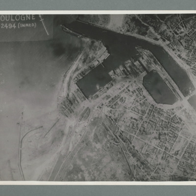
Reconnaissance photograph showing the town to the bottom right with port area in the top right quadrant. Many bomb craters can be seen around the port area. On the reverse 'Date 11.7.44, WS, G108, 51:04/5, photo 178'.
Boulogne
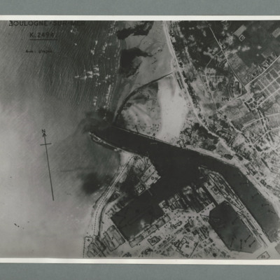
Reconnaissance photograph of the port of Boulogne. Numerous craters can be seen on land above the port entrance and around the dock area on the bottom of the image. Captioned 'Boulogne Sur Mer, K2494, scale 1:10,700'. On the reverse 'Date 11.7.44,…
Brest
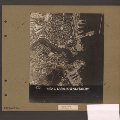
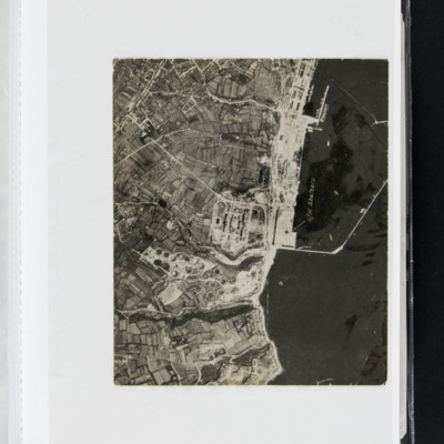
Reconnaissance photograph of a port city with sea to the right and a river running centre right to left. Docks above and below river mouth. Photograph caption '622 W/642. I.P.R.U. 27.5.41. F/20:R↑'. Page caption 'Brest'.
Brest docks
An vertical aerial photograph of Brest docks. Annotated 'S/M Shelters'.
Bridges on the Waal river at Nijmegen
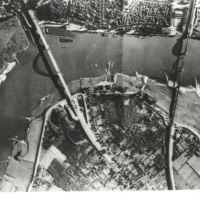
Reconnaissance photograph of a bend in the Waal river at Nijmegen, spanned by two cantilever bridges. The Waalbrug road bridge to the left and the Snelbinder rail bridge to the right. There are docks along river bank and jetties on the opposite side.…
Caen Carpiquet airfield
Two side by side vertical photographs of Caen Carpiquet Airfield.
On the left a reconnaissance photograph orientated with east at the top. On the left side of the airfield with a single runway 13/31 running from bottom left towards the centre. A…
On the left a reconnaissance photograph orientated with east at the top. On the left side of the airfield with a single runway 13/31 running from bottom left towards the centre. A…
Cham
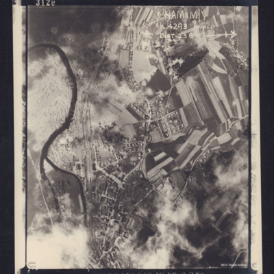
Reconnaissance photograph of a small town in an agricultural location. A river is winding through the left hand side of the photograph, and a road runs top to bottom. Between the road and the river is a railway line. Several trains can be seen in a…
Coastline
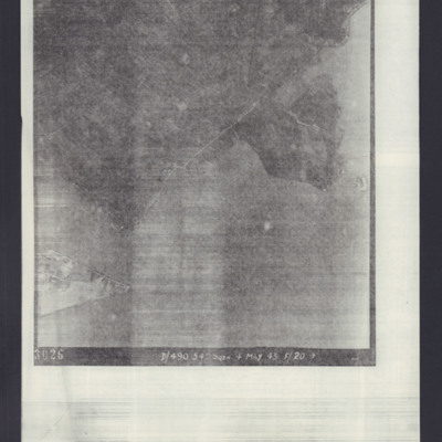
Target photograph of an unidentified target, coastline and built-up area. Captioned '3026 D/490.542 SQDN 4 May 43 F/20→'.
Coblenz
A vertical aerial photograph of Koblenz in early 1945 showing widespread damage to buildings with large areas completely destroyed. Bomb craters can be seen in several places. A railway marshalling yard is to centre left and the railway lines then…
Cologne
Reconnaissance photograph photograph of city centre with major road running top to bottom and railway lines on right side. Captioned in 1956 Memoir between pages 26-27 'Cologne after first 1,000 Bomber raid 1942'. On the reverse 'Cologne, C2550'.

