Browse Items (1948 total)
- Tags: navigator
Sort by:
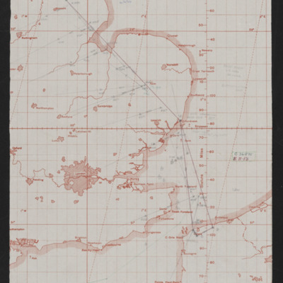
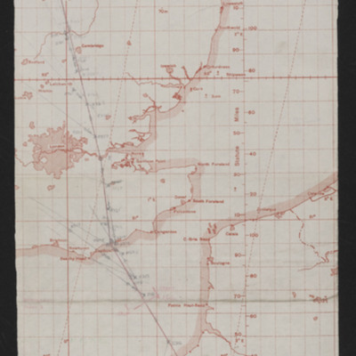
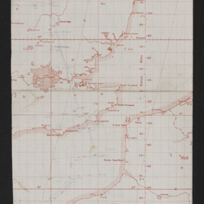
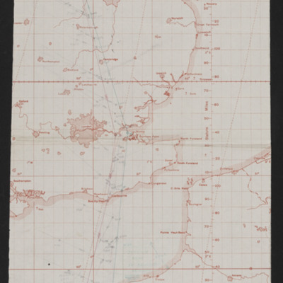
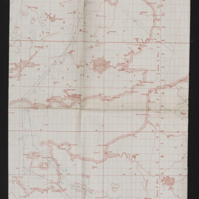
Navigation chart - operation number 6
Map covering south east England and northern France with pencilled route from near Lincoln to Calais area. Annotated 'Op No. 6, 4/6/44'.
Tags: aircrew; bombing; navigator; RAF Wickenby
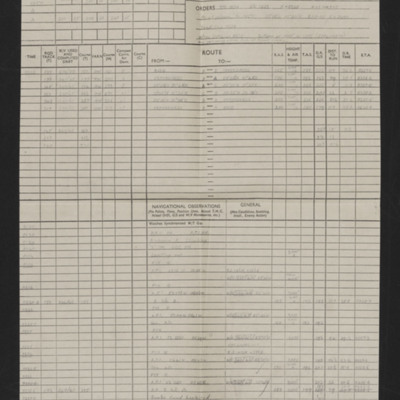
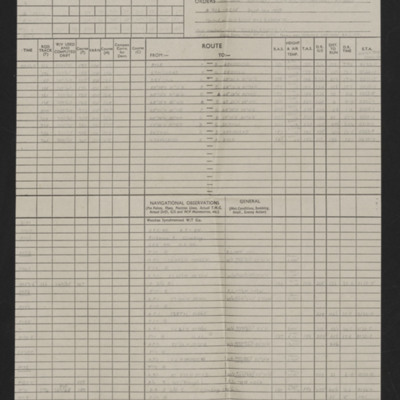
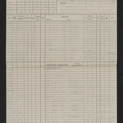
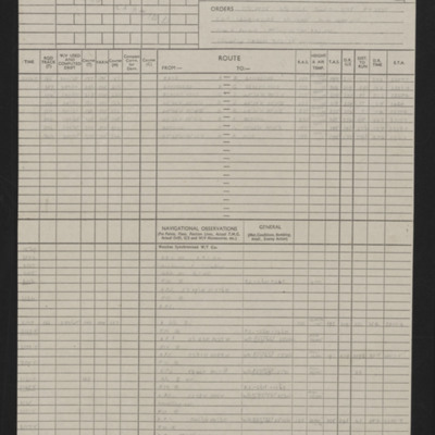
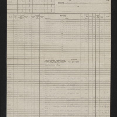
Navigation log Op No 6
Details of aircraft, captain, navigator, date, orders, route and page and half en-route navigation observations. Annotated in red pen. Note top right 'Op No 6'.
Tags: aircrew; bombing; navigator; RAF Wickenby
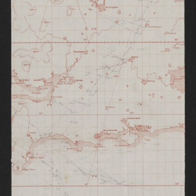
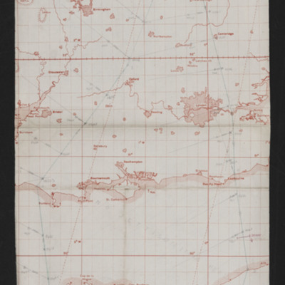
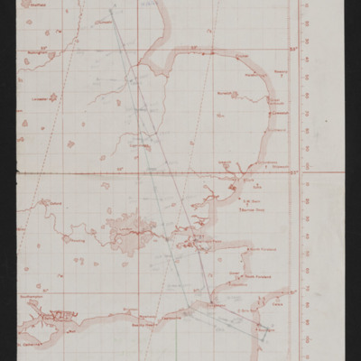
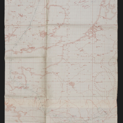
Navigation chart - operation number 7
Map showing southern England and the Cherbourg peninsula. Pencilled route from Lincoln area to target south east of Cherbourg. Annotated top right 'Op No. 7, 5/6/44'. On the reverse 'Op 7, eve of D-Day'.
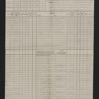
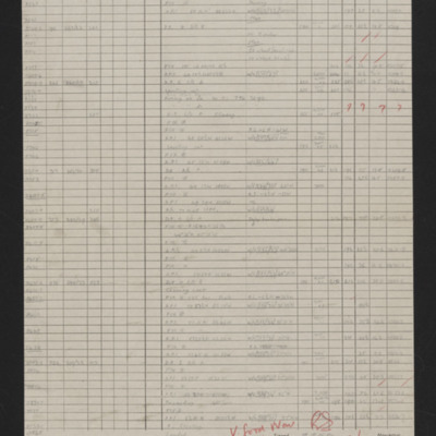
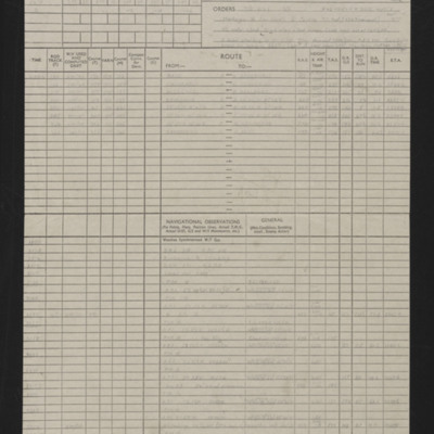
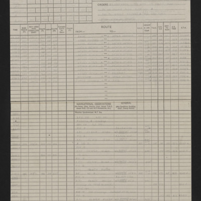
Navigation log - Op No 7
Details of aircraft, captain, navigator, date, orders, route and page and half en-route navigation observations. Annotated in red pen. Note top right 'Op No 7'.
Navigation chart - operation number 8
Map showing south east England and northern France with pencilled route from Lincoln area to Paris. Annotated top left 'Op No 7/6/44, Paris'
Navigation log - Op No 8
Details of navigator, date, orders, route and page and half en-route navigation observations. Annotated in red pen. Note top right 'Op No 8'.
Navigation chart - operation number 9
Map showing southern England and Normandy with pencilled route from near Lincoln to south Normandy. Annotated top right ''Op No 9, 9/6/44'.
Navigation log - Op No 9
Details of navigator, date, orders, route and page and half en-route navigation observations. Annotated in red pen 'V. Good Nav [signature] I cannot understand how target was not found.' Note top right 'Op No 9'.
Navigation chart - operation number 10
Map showing south east England and northern France with pencilled route from Lincoln area to southern Normandy. Annotated top left 'Op No. 10 Evreux, 11/6/44'.
Navigation log
Details of navigator, date, orders, route and page and half en-route navigation observations. Annotated in blue pen.
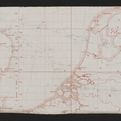
Navigation chart - operation number 11
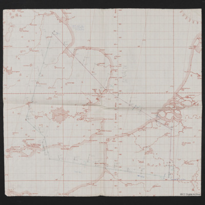
Map shows eastern England to western European mainland (Netherlands, Belgium and Germany). Pencilled route from Lincoln area to the Ruhr region. Annotated top left 'Op No 11, 12/6/44'. On the reverse 'Op 11'.
Tags: aircrew; bombing; navigator; RAF Wickenby
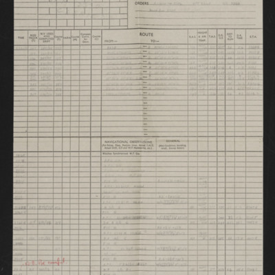
Navigation log - Op No 11
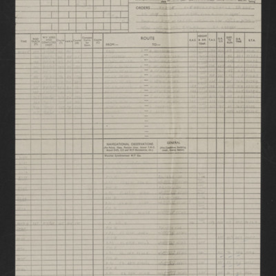
Details of navigator, date, orders, route and page and half en-route navigation observations. Annotated in red pen 'How come so far the other side of track?' and 'Good nav'. Note on top right 'Op No 11'.
Tags: aircrew; bombing; navigator; RAF Wickenby
Navigation chart - operation number 12
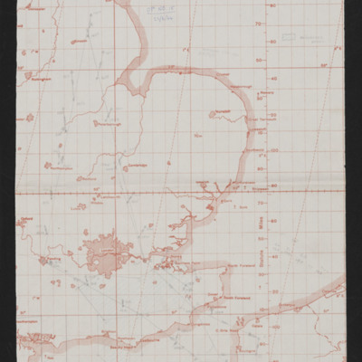
Map showing east England and northern France with pencilled route from Lincoln area to Le Havre. Annotated top 'Op No 12, 14/6/44'.
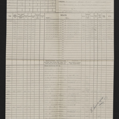
Navigation log - Op No 12
Details of navigator, date, orders, route and page and half en-route navigation observations. Annotated in red and black pen 'Bombed 4 mins early. Good nav but not much effort made to keep to time. S/C 4 mins early [signature]' 'See me re plotting…
Navigation chart - operation number 13
Map showing south east England and northern France with pencilled route from Lincoln area to Boulogne. Annotated top middle 'Op No, 13, (Boulogne), 15/6/44'. On the reverse 'Op 13 Boulogne (2cd daylight)'.
Navigation log - Op No 13
Details of squadron, aircraft, captain, navigator, date, orders, route and page and half en-route navigation observations. Annotated in black pen. Note on top right 'Op No 13 (Boulogne)'.
Navigation chart - operation number 14
Map showing south east England and northern France/Belgium. Pencilled route from Lincoln area to target in France Southeast of Lille. Annotated top left 'Op No 14, 17/6/44'. On the reverse 'Op No 14, (17/6/44)'.
Navigation log - Op No 14
Details of squadron, aircraft, captain, navigator, date, orders, route and page and half en-route navigation observations. Annotated in blue and black pen. Note on top right 'Op No 14'. Includes a comment 'What was wrong with your H2S?'
Navigation chart - operation number 15
Map showing south east England and northern France with pencilled route from Lincoln area to target between Calais and Boulogne. Annotated top 'Op No 15, 22/6/44'.
Navigation log - Op No 15
Details of squadron, aircraft, captain, navigator, date, orders, route and page and half en-route navigation observations. Annotated in blue and black pen. Note on top right 'Op No 15'. A note says they bombed early.
Navigation chart - operation number 16
Map showing south east England and northern France with pencilled route from Lincoln area to north west of Amiens. Annotate at top 'Op No 16, 2/7/44'. On the reverse 'Op 16'.
Navigation log - Op No 16
Details of squadron, aircraft, captain, navigator, date, orders, route and page and half en-route navigation observations. Annotated in blue pen. Note on top right 'Op No 16'.
Navigation chart - operation number 17
Map showing southern England and northern France with pencilled route from the Lincoln area to target in Orleans. Annotated top right 'Op No. 17, 3/7/44'.
Navigation log - Op No 17
Details of navigator, date, orders, route and two and a half pages of en-route navigation observations. Annotated in blue pen. Note on top right 'Op No 17'.
Navigation chart - operation to Dijon
Map showing south east England and northern France with pencilled route from Lincoln area to Dijon. Annotated top right 'F/O Witty, Dijon'.

