Browse Items (4302 total)
- Tags: bombing
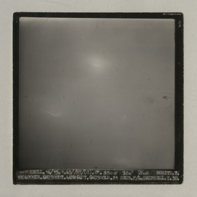
Rositz
It is captioned '4438 Skell. 14/15.2.45//NT/ (C). 8" 8500' 354° 2108 Rositz. T. 1HC4000IN.4MC500DT.4ANM64DT.6MC500LD. 21 secs. F/L.…
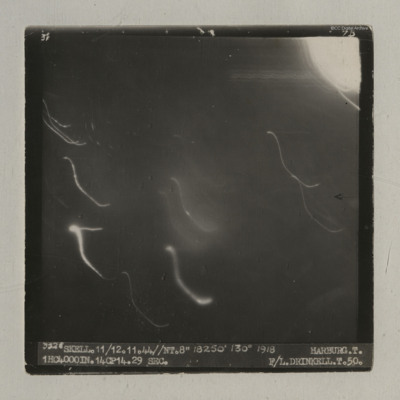
Harburg
It is captioned '3528 Skell. 11/12.11.44//NT.8" 18250' 130° 1918 Harburg. T. 1HC4000IN.14CP14. 29 sec. F/L…
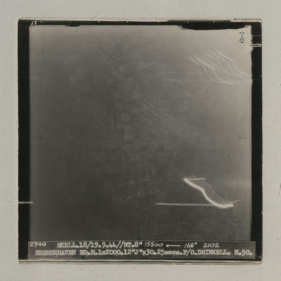
Bremerhaven
Houffalize
It is captioned '4079 Skell 30/31.12.44 // NT (C) 8" 10500' 005° 0503 Houffalize. T. 11ANM 65DT. 4GP 00. 21 secs.…
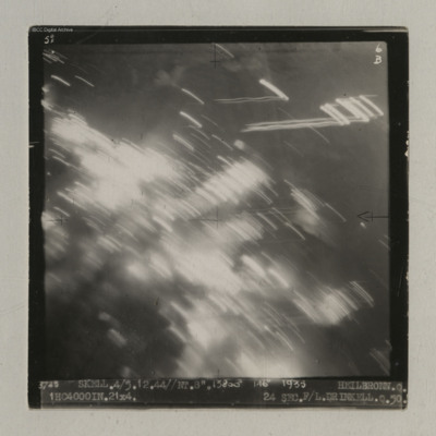
Heilbronn
It is captioned '3725 Skell. 4/5.12.44//NT. 8". 13800' 146° 1935…
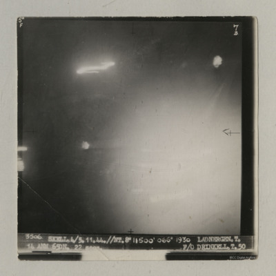
Ladbergen
It is captioned '3506 Skell. 4/5.11.44//NT 8" 11500' 066° 1930 Ladnergen [sic] T. 14 ANM 65DN. 22 secs F/O Drinkell. T. 50'.
Appendix VI- Table of Raids
Tags: bombing
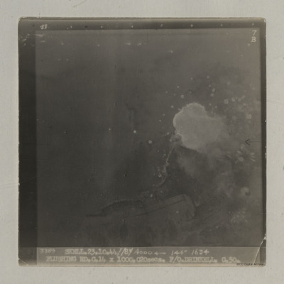
Flushing
It is captioned '3389 Skell 23.10.44//8"/ 4000
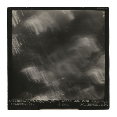
Wurzburg
It is captioned '4724 Skell. 16/17.3.45//NT/(C). 8". 10000 004° 2138 Wurzburg. T. 1HC4000IN.18x4. 19 secs F/L Drinkell.T.50'.
On the reverse 'F/Lt…
Politz
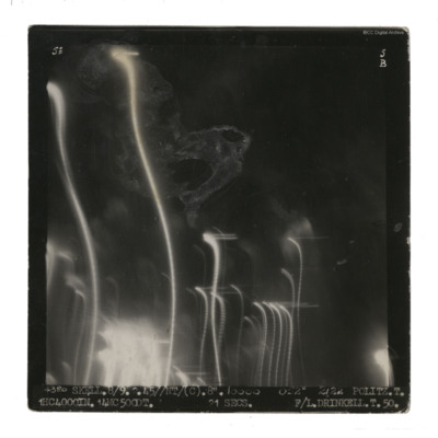
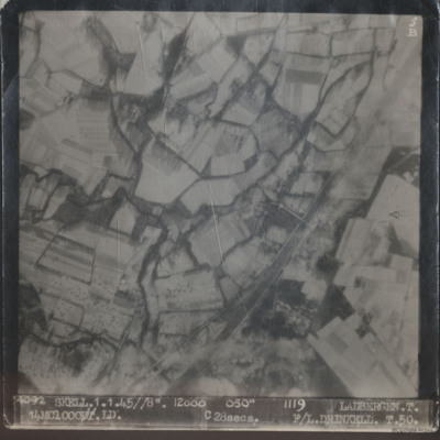
Ladbergen
The first is captioned '4092 Skell.1.1.45//8" 12000 050° 1119 Ladbergen. T. 14MC 1000.LD.…
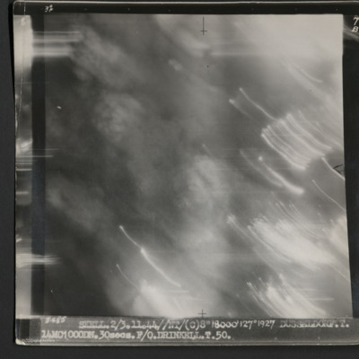
Dusseldorf
It is captioned '3485 Skell 2/3.11.44//NT/(C) 8" 18000' 127° 1927 Dusseldorf. T. 14MC1000DN.30 secs. F/O Drinkell. T. 50.'
On the reverse is…
1943 pocket diary
Another entry records the death and funeral of Sergeant Bill Forster (1533997 Royal Air Force) who flew with 156 Squadron did not return from an operation 12…
Tags: air gunner; aircrew; bombing; killed in action
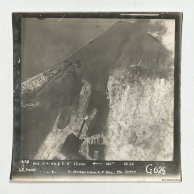
Le Havre
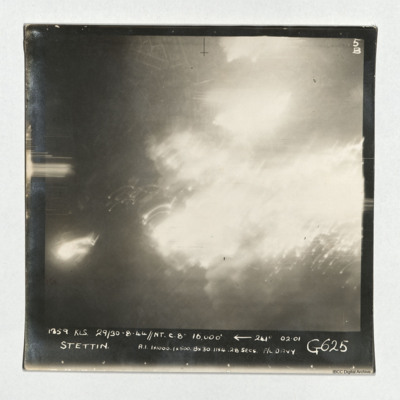
Stettin
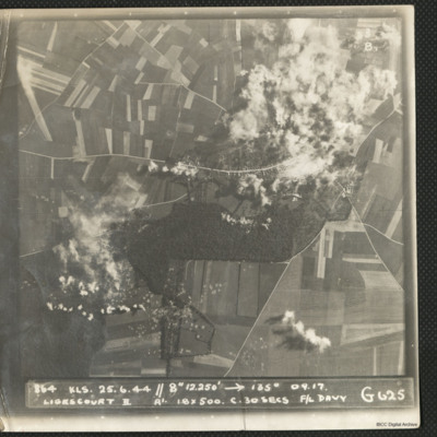
Ligescourt V-1 site
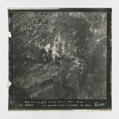
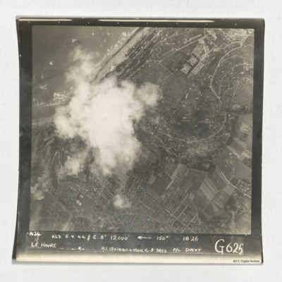
Le Havre
It is captioned 'KLS 10.0.44//8"…
Tags: 625 Squadron; bombing; RAF Kelstern; target photograph
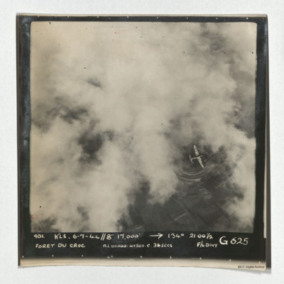
Foret du Croc
Le Havre
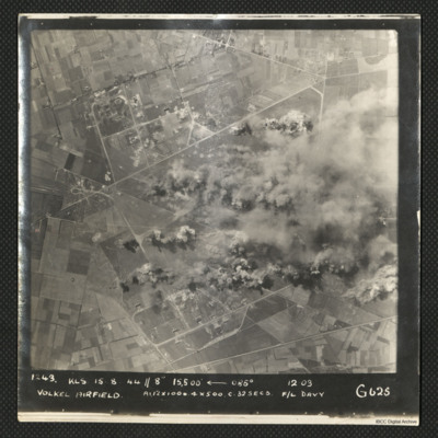
Volkel Airfield
It is captioned '1243 KLS 15.8.44//8" 15,500
Archie Henry Halliday's navigators, air bombers, air gunners and flight engineers flying log book
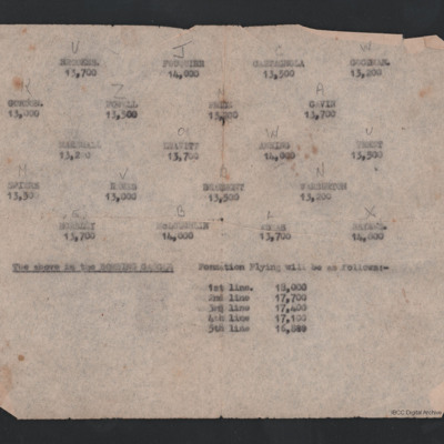
Bombing Instructions
Below is a list of heights of each of the five lines of aircraft.
Tags: 617 Squadron; aircrew; bombing; Lancaster; pilot
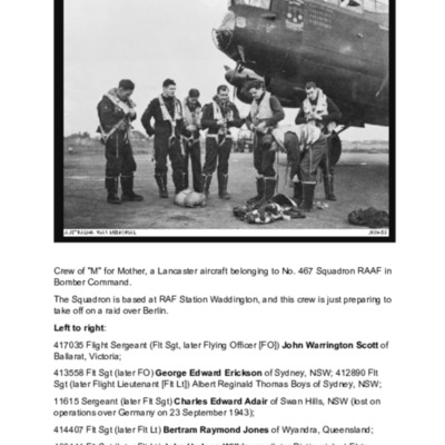
467 Squadron (RAAF) Waddington 1943
Teddy's Career in the RAFVR 9th September 1939 - 11th October 1941
Tags: 1 Group; 11 OTU; 12 Squadron; Advanced Flying Unit; aerial photograph; Air Observers School; aircrew; Anson; anti-aircraft fire; Battle; Blenheim; bomb aimer; bombing; Bombing and Gunnery School; Churchill, Winston (1874-1965); crash; crewing up; Defiant; ditching; flight engineer; Flying Training School; ground personnel; Halifax; Harris, Arthur Travers (1892-1984); Heavy Conversion Unit; Initial Training Wing; Lancaster; meteorological officer; military ethos; military living conditions; military service conditions; Morse-keyed wireless telegraphy; navigator; observer; Operational Training Unit; pilot; propaganda; RAF Bassingbourn; RAF Binbrook; RAF Evanton; RAF Kinloss; RAF Odiham; RAF Padgate; RAF St Athan; RAF Wickenby; recruitment; sport; Stirling; take-off crash; training; Wallis, Barnes Neville (1887-1979); Wellington; Whitley; wireless operator
Service history of Sergeant Alfred Edward "Teddy" Cosgrove
Tags: 1 Group; 11 OTU; 12 Squadron; air gunner; aircrew; anti-aircraft fire; bombing; Bombing and Gunnery School; crash; final resting place; ground personnel; Initial Training Wing; killed in action; Lancaster; love and romance; memorial; Morse-keyed wireless telegraphy; navigator; observer; Operational Training Unit; pilot; RAF Bassingbourn; RAF Binbrook; RAF Evanton; RAF Odiham; RAF Padgate; RAF Ringway; RAF Wickenby; sport; training; Wellington; wireless operator; Women’s Auxiliary Air Force

![MHuntMJ[Ser#-DoB]-151125-01.pdf MHuntMJ[Ser#-DoB]-151125-01.pdf](https://ibccdigitalarchive.lincoln.ac.uk/omeka/files/square_thumbnails/1472/43563/MHuntMJ[Ser -DoB]-151125-01.jpg)
