Browse Items (4302 total)

  • Tags: bombing

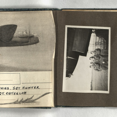
PDaviesDC19010008.jpg
First, a sketch of a Lancaster in flight, captioned 'Wismar, 12/13.X.42 F/Sgt Turner, F/Sgt Anderson, Sgt Davies, Sgt Hunter, Sgt Coombes, Sgt Cass, Sgt Osterloh. 61 Squadron.' Signed 'A Pollen P/O 1942.' Second, four men in uniform and side caps…

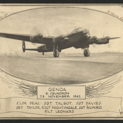
PDaviesDC1904.jpg
An aiming point certificate comprising a sketch of a Lancaster on the ground with rotating propellers It is captioned 'Genoa 61 Squadron 7/8 November 1942 S/Ldr Deas, Sgt Talbot, Sgt Davies, Sgt Taylor, F/Sgt Nightingale, Sgt Munro, F/Lt Leonard'. It…

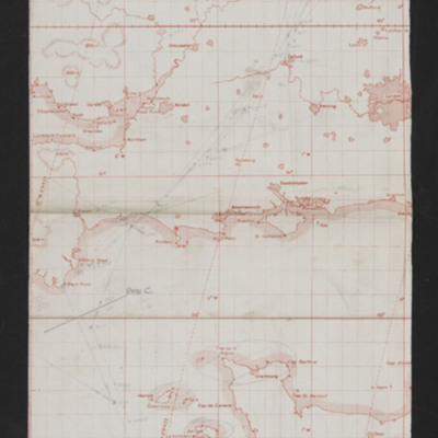
CWittyAR-170323-010001.jpg
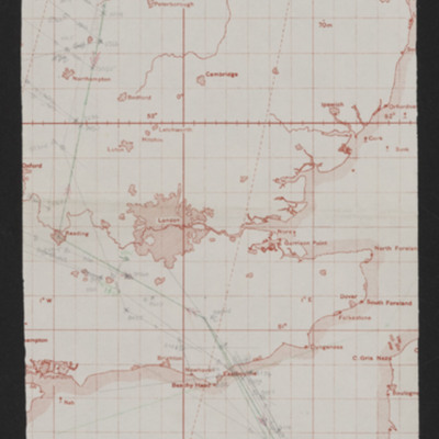
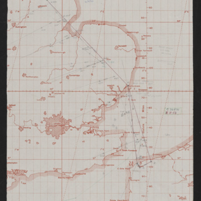
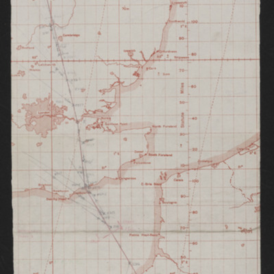
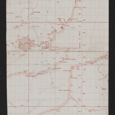
Map of southern England and northern France showing pencilled route from just north-east of Lincoln to target near Rennes France. Annotated 'Op No 1, 7-5-44 Bruz, N Rennes'.

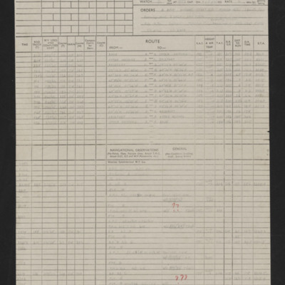
CWittyAR-170323-010004.jpg
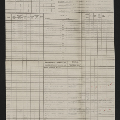
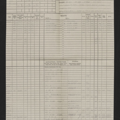
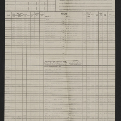
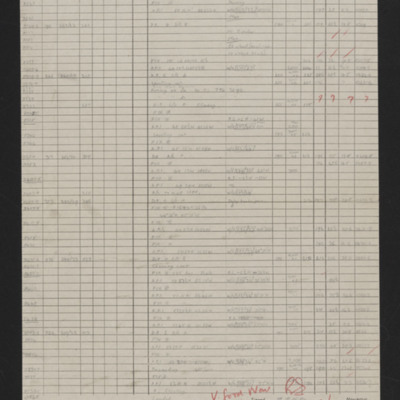
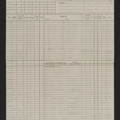
Details of aircraft, captain, navigator, date, orders, route and page and half en-route navigation observations. Annotated in red pen with comments including 'Good effort for 1st trip'. Note at top on first page 'Op No 1, Bruz N Rennes'.

CWittyAR-170323-010005.jpg
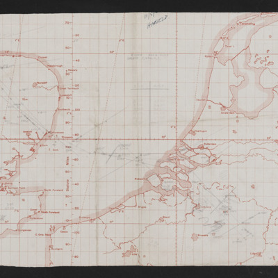
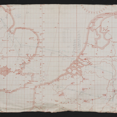
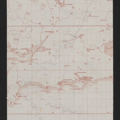
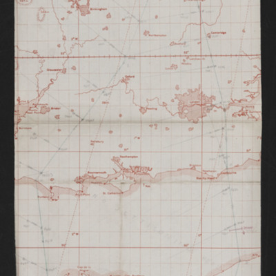
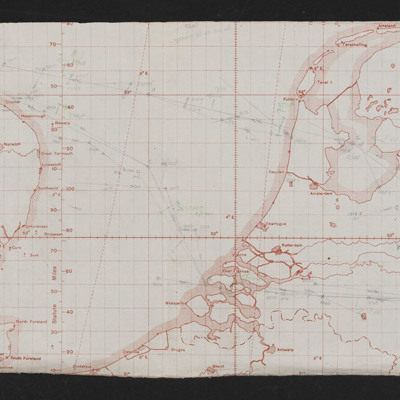
Navigation map showing east England and Western European mainland (Netherlands, Belgium, Germany. Pencilled route from near Lincoln to East Belgium. Annotated '11/5/44, Hasselt'.

CWittyAR-170323-010007.jpg
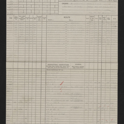
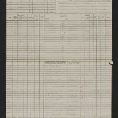
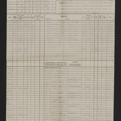
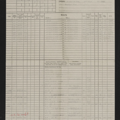
Details of aircraft, captain, navigator, date, orders, route and page and half en-route navigation observations. Annotated in red pen. Note at top of first page 'Op No 2'.

CWittyAR-170323-010008.jpg
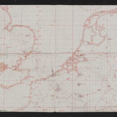
Map of east England to Western European mainland (Belgium, Netherlands, Germany. Route in pencil from Lincolns area to West Germany, Aachen. Annotated top left 'Op No 3, 24/5/44, Aachen'.

CWittyAR-170323-010009.jpg
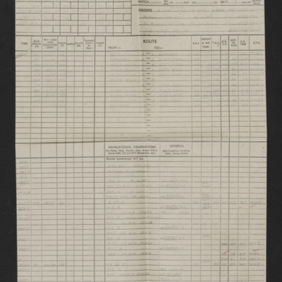
Details of aircraft, captain, navigator, date, orders, route and page and half en-route navigation observations. Annotated in red pen. Note at top of first page 'Op No 3, Aachen'.

CWittyAR-170323-010011.jpg
Map of east England to Western European mainland (Belgium, Netherlands, Germany. Route in pencil from Lincolns area to West Germany, Aachen. Annotated top left 'Op No 4, 27/5/44'.

CWittyAR-170323-010014.jpg
Details of aircraft, captain, navigator, date, orders, route and page and half en-route navigation observations. Annotated in red pen. Note top right 'Op No 4'.

CWittyAR-170323-010015.jpg
Map of southern England and north western France with pencilled route from Lincoln area to area of Dieppe. Annotated at top 'Op No. 5, 2/6/44'.

CWittyAR-170323-010017.jpg
Details of aircraft, captain, navigator, date, orders, route and page and half en-route navigation observations. Annotated in red pen. Note top right 'Op No 5'.

CWittyAR-170323-010018.jpg
Map covering south east England and northern France with pencilled route from near Lincoln to Calais area. Annotated 'Op No. 6, 4/6/44'.

CWittyAR-170323-010020.jpg
Details of aircraft, captain, navigator, date, orders, route and page and half en-route navigation observations. Annotated in red pen. Note top right 'Op No 6'.

CWittyAR-170323-010021.jpg
Map showing southern England and the Cherbourg peninsula. Pencilled route from Lincoln area to target south east of Cherbourg. Annotated top right 'Op No. 7, 5/6/44'. On the reverse 'Op 7, eve of D-Day'.

CWittyAR-170323-010023.jpg
Details of aircraft, captain, navigator, date, orders, route and page and half en-route navigation observations. Annotated in red pen. Note top right 'Op No 7'.

CWittyAR-170323-010025.jpg
Map showing south east England and northern France with pencilled route from Lincoln area to Paris. Annotated top left 'Op No 7/6/44, Paris'

CWittyAR-170323-010026.jpg
Details of navigator, date, orders, route and page and half en-route navigation observations. Annotated in red pen. Note top right 'Op No 8'.

CWittyAR-170323-010028.jpg
Map showing southern England and Normandy with pencilled route from near Lincoln to south Normandy. Annotated top right ''Op No 9, 9/6/44'.

CWittyAR-170323-010029.jpg
Details of navigator, date, orders, route and page and half en-route navigation observations. Annotated in red pen 'V. Good Nav [signature] I cannot understand how target was not found.' Note top right 'Op No 9'.

CWittyAR-170323-010031.jpg
Map showing south east England and northern France with pencilled route from Lincoln area to southern Normandy. Annotated top left 'Op No. 10 Evreux, 11/6/44'.

CWittyAR-170323-010032.jpg
Details of navigator, date, orders, route and page and half en-route navigation observations. Annotated in blue pen.

CWittyAR-170323-010034.jpg
Map shows eastern England to western European mainland (Netherlands, Belgium and Germany). Pencilled route from Lincoln area to the Ruhr region. Annotated top left 'Op No 11, 12/6/44'. On the reverse 'Op 11'.

CWittyAR-170323-010037.jpg
Details of navigator, date, orders, route and page and half en-route navigation observations. Annotated in red pen 'How come so far the other side of track?' and 'Good nav'. Note on top right 'Op No 11'.

CWittyAR-170323-010038.jpg
Map showing east England and northern France with pencilled route from Lincoln area to Le Havre. Annotated top 'Op No 12, 14/6/44'.
Output Formats

atom, dc-rdf, dcmes-xml, json, omeka-xml, rss2