Browse Items (11111 total)
- Tags: aircrew
Sort by:
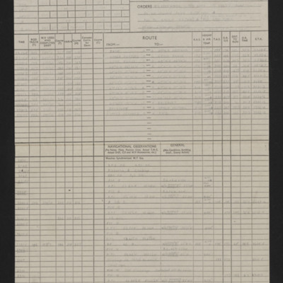
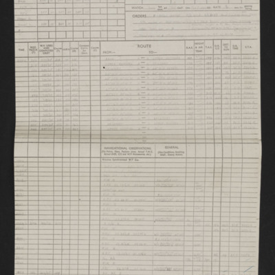
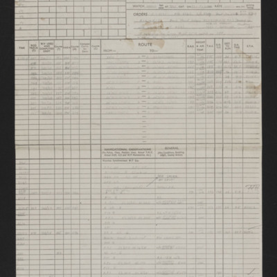
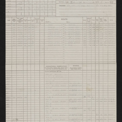
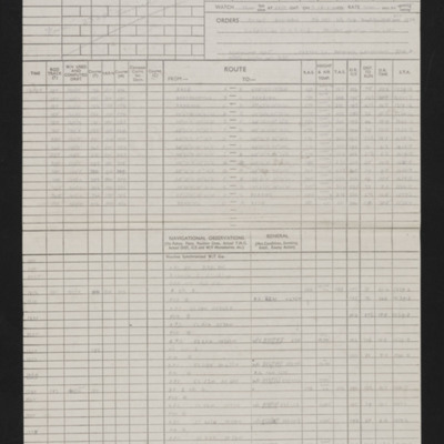
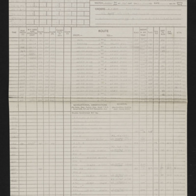
Navigation log - Op No 17
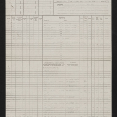
Details of navigator, date, orders, route and two and a half pages of en-route navigation observations. Annotated in blue pen. Note on top right 'Op No 17'.
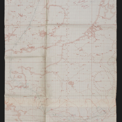
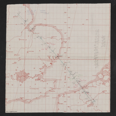
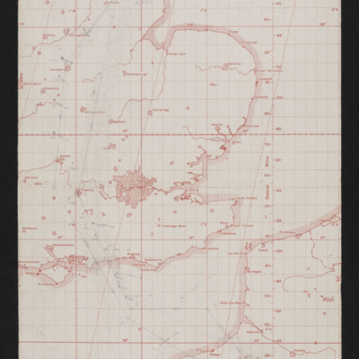
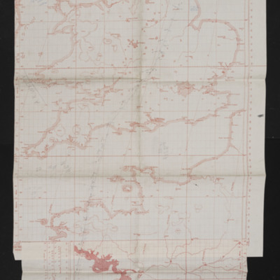
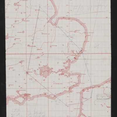
Navigation chart - operation to Dijon
Map showing south east England and northern France with pencilled route from Lincoln area to Dijon. Annotated top right 'F/O Witty, Dijon'.
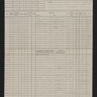
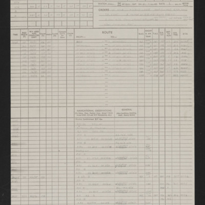
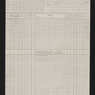
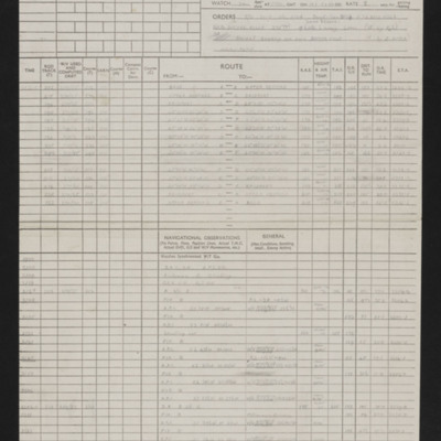
Navigation log - Op No 18 (Dijon)
Details of squadron, aircraft, captain, navigator, date, orders, route and two and an a half pages of en-route navigation observations. Annotated in red pen. Note on top right 'Op No 18 (Dijon)'.
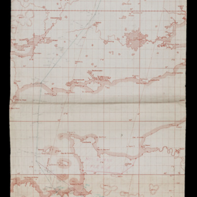
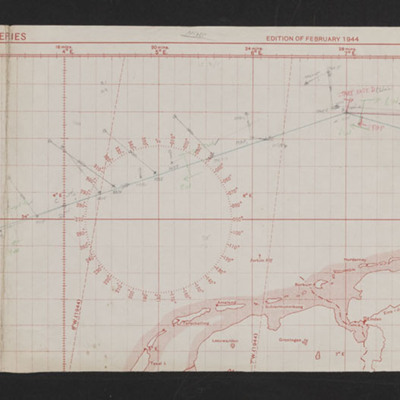
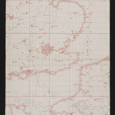
Navigation chart - operation number 19 (Tours)
Map showing south England and northern France with pencilled route from Lincoln area to Tours. Annotated top right 'Op. No. 19 (Tours), 12/7/44'. On the reverse 'Op No. 19 12/7/44, (Tours)'.
Navigation log - Op No 19 (Tours)
Details of navigator, date, orders, route and two and and a half pages of en-route navigation observations. Annotated in blue pen. Note on top right 'Op No 19 (Tours)'.
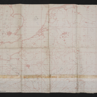
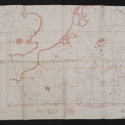
Navigation chart - operation number 20
Map showing south east England northern France, Belgium and Netherlands. Pencilled route from Lincoln area to just north of Lille. Annotated top left 'Op No. 20, 20/7/44, Coutrai (Kurtrijk Belgium)'. On the reverse 'Op. No. 20 (20/7/44), Courtrai)'.
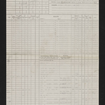
Navigation log - Op No 20
Details of squadron, aircraft, captain, navigator, date, orders, route and page and half en-route navigation observations. Annotated in red pen. Note on top right 'Op No 20, Courtrai (Kurtrijk) Belgium)'.
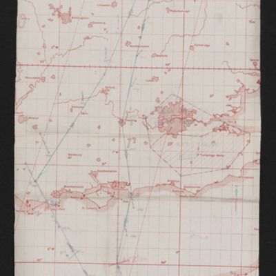
Navigation chart - operation number 21
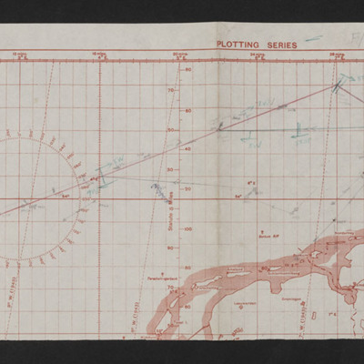
Map showing east England, North Sea and northern Netherlands, Germany and southern Denmark with pencilled route from Lincoln area to Kiel'. Annotated on left 'Op No 21, 23/7/44'.
Tags: aircrew; bombing; navigator; RAF Wickenby
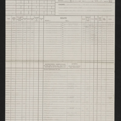
Navigation log - Op No 21
Details of navigator, date, orders, route and two and and a half pages of en-route navigation observations. Annotated in blue pen. Note on top right 'Op No 21
Tags: aircrew; bombing; navigator; RAF Wickenby
Navigation chart - operation number 22 (Stuttgart)
Map showing south east England, northern France and west Germany with pencilled route from Lincoln area south of Paris to Stuttgart. Annotated top middle 'F/O Witty, Stuttgart, 24/7/44, 22nd Op'.
Tags: aircrew; bombing; navigator; RAF Wickenby
Navigation log - Op No 22
Details of squadron, aircraft, captain, navigator, date, orders, route and four pages of en-route navigation observations. Note on top right 'Op No 22, Stuttgart'.
Tags: 12 Squadron; aircrew; bombing; navigator; RAF Wickenby
Navigation chart - operation number 23
Map showing south east England and northern France with pencilled route from Lincoln area to Normandy. Annotated top right 'Op. No. 23, 30/7/44'. On the reverse 'Op 23, 30/7/44, Caumont'.
Navigation log - Op No 23
Details of navigator, date, orders, route and one and and a half pages of en-route navigation observations. Note on top right 'Op No 23'.
Navigation chart - operation number 24
Map of south east England and northern France with pencilled route from Lincoln area to target south of Abbeville. Annotated top middle 'Op. No. 24, 2/8/44'. On the reverse 'Op. No. 24. Les Cateliers'.
Navigation log - Op No 24
Details of navigator, date, orders, route and one and and a half pages of en-route navigation observations. Note on top right 'Op No 24, Pas de Calais'.
Navigation chart - operation number 25
Map showing south east England and northern France with pencilled route from Lincoln area to a target north of Paris. Annotated top left 'Op No. 25, 3/8/44'. On the reverse 'Op 25, (3/8/44), Trossy'.
Navigation log - Op No 25
Details of squadron, aircraft, captain, navigator, date, orders, route and two pages of en-route navigation observations. annotated with blue pen. Note on top right 'Op No 25'.
Navigation chart - operation number 26
Map showing southern England and northern France with pencilled route from Lincoln area to sea west of La Rochelle. Annotated top right 'Op No. 26, 10/8/44'. On the reverse 'Witty'.
Tags: aircrew; mine laying; navigator; RAF Wickenby
Navigation log - Op No 26
Details of squadron, aircraft, captain, navigator, date, orders, route and four pages of en-route navigation observations. Note on top right 'Op No 26'.
Tags: aircrew; mine laying; navigator; RAF Wickenby
Navigation chart - operation number 27
Map showing south east England, France and Germany with route from Lincoln area to a target west of Frankfurt. Annotated top left 'Op No. 27, 25/8/44'.
Tags: aircrew; bombing; navigator; RAF Wickenby
Navigation log - Op No 27
Details of squadron, aircraft, captain, navigator, date, orders, route and four pages of en-route navigation observations. Note on top right 'Russelsheim (Nr Mainz), Op No 27'.
Tags: 12 Squadron; aircrew; bombing; navigator; RAF Wickenby
Navigation chart - operation number 28
Map showing part of east England, Netherlands and north Germany with pencilled route from Lincoln area to Kiel. Annotated bottom left 'Op No. 28, 26/8/44'. On the reverse 'Op. 28, Kiel 92nd time), 26/8/44'.
Tags: aircrew; bombing; navigator; RAF Wickenby
Navigation log - Op No 28
Details of squadron, aircraft, captain, navigator, date, orders, route and three pages of en-route navigation observations. Annotated with blue pen. Note on top right 'Op No. 28 (Kiel)'.
Tags: 12 Squadron; aircrew; bombing; navigator; RAF Wickenby
Navigation chart - operation number 29
Map showing south east England and Northern France with pencilled route from Lincoln area to Pas De Calais area. Annotated 'Op No. 29, 28/8/44'. On the reverse 'Op No. 29, Fromentel, 28/8/44'.
Navigation log - Op No 29
Details of squadron, aircraft, captain, navigator, date, orders, route and two pages of en-route navigation observations. Note on top right 'Op No. 29 (FROMENTEL).

