Browse Items (1413 total)
- Tags: aerial photograph
Sort by:
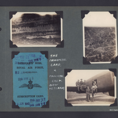
Aerial photographs, Mess Card and the Immortal Crew
Three photographs and copies plus One Mess Card from an album.
Photo 1 is an aerial photograph of part of the Hamburg docks, in the Steinwerder area. The lower dock is Kaiser Wilhelm Hafen, the dock above Is Kuhwerder, top right area series of…
Photo 1 is an aerial photograph of part of the Hamburg docks, in the Steinwerder area. The lower dock is Kaiser Wilhelm Hafen, the dock above Is Kuhwerder, top right area series of…
Tags: 218 Squadron; aerial photograph; bombing; Lancaster; mess; RAF Chedburgh
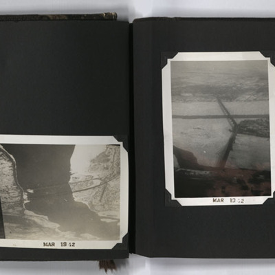
Aerial Photographs, Montreal
Four oblique aerial photographs from an album. #1 is a city with a bridge crossing a frozen river and another bridge leading to a small island. #2 is two bridges, Honor Mercier, crossing the St Lawrence river. #3 is the Jacques Cartier bridge leading…
Tags: aerial photograph
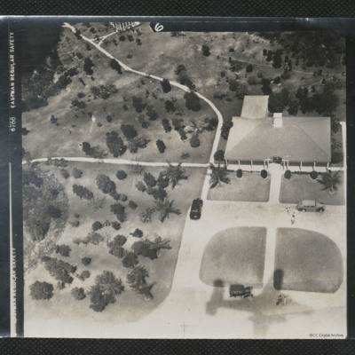
Aerial View of a Bungalow
An oblique aerial photograph of a bungalow surrounded by palm trees. The shadow of a B-25 can be seen in the bottom of the image.
It is captioned '[indecipherable] Crew C19 26/2/44'.
It is captioned '[indecipherable] Crew C19 26/2/44'.
Tags: aerial photograph; B-25
Aerial view of a settlement
The photograph on the right page shows an aerial view of a settlement taken from an aircraft. An aircraft wing can be seen in the foreground on the right of the photograph.
Tags: aerial photograph
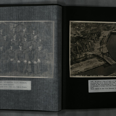
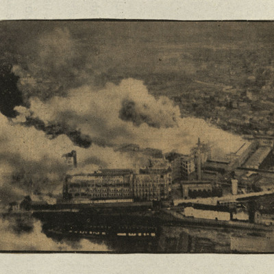
Aerial View of Berlin
A low level oblique aerial photograph of Berlin and the River Spree, showing extensive damage to the city and Hugo-Preuß-Brücke.
Tags: aerial photograph; bombing
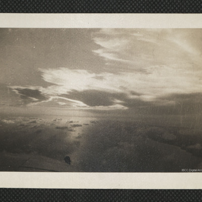
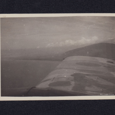
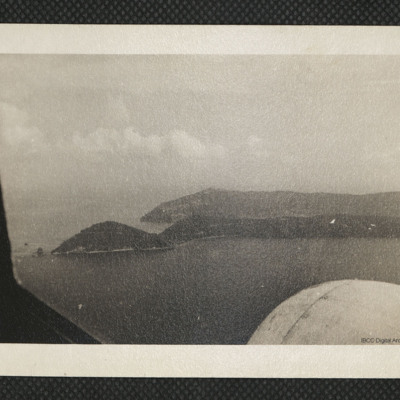
Aerial View of Mountains
A view from the starboard side of an aircraft looking across a wing to mountains and clouds.
Tags: aerial photograph
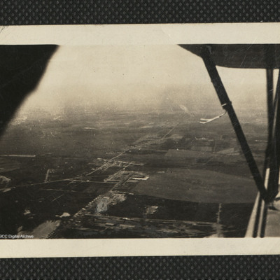
Aerial view of Nova Scotia countryside
An aerial view of Canadian countryside from a biplane. The wings can be seen on the right side of the image. On the reverse 'The Fleet takes me over Canada's vast countryside. Stanley EFTS July 42'.
Tags: aerial photograph; aircrew; training
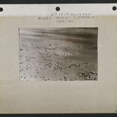
Aerial View of Robat
An aerial view of the airstrip and camp at Robat. It is captioned 'No 12 (B) Squadron Robat Aden S Arabia 1935/36'.
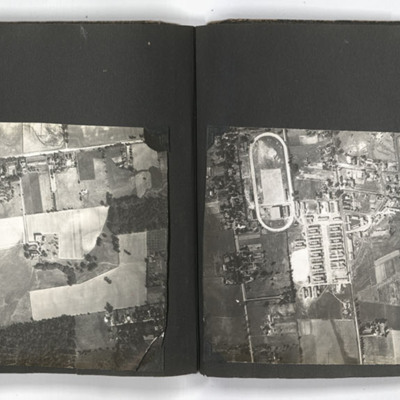
Aerial views
The photographs on the left of the left page and the two photographs on the right page show aerial views of urban settlements.
The photograph on the right of the left page shows an aerial view of the countryside.
The photograph on the right of the left page shows an aerial view of the countryside.
Tags: aerial photograph
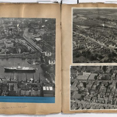
Aerial views
Left page: a view of central London including the Tower of London, Tower Bridge and the royal yacht Britannia, annotated 'All photographs taken from the air and Bob as pilot'. Right page: top, Berkhamsted.Bottom, Park View Road, Berkhamsted.
Tags: aerial photograph; aircrew; pilot
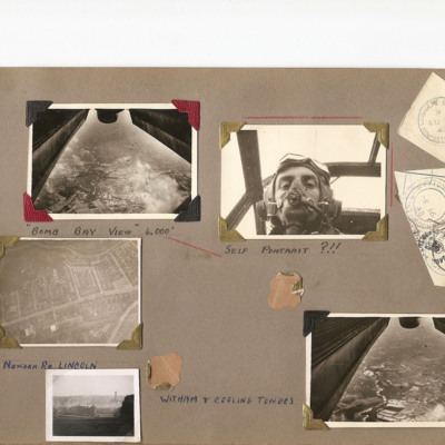
Aerial views of Lincoln
Five photographs on an album page.
Photo 1 and 5 are views under the aircraft. Photo 1 is captioned 'Bomb bay view 4000' .
Photo 2 is K Watson in flying helmet and oxygen mask, captioned 'Self portrait ?!!'.
Photo 3 is a vertical photo…
Photo 1 and 5 are views under the aircraft. Photo 1 is captioned 'Bomb bay view 4000' .
Photo 2 is K Watson in flying helmet and oxygen mask, captioned 'Self portrait ?!!'.
Photo 3 is a vertical photo…
Tags: aerial photograph; aircrew; Stirling
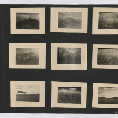
Aerial views, CG4A Glider, Baltimore and C-47
Nine photographs from an album. Starting at top left:
#1 is a view of a volcano with a smoke plume.
#2 is an oblique aerial view of Stromboli.
#3 is an oblique aerial view of an island. A beach with surf can be seen, as can the outline of the…
#1 is a view of a volcano with a smoke plume.
#2 is an oblique aerial view of Stromboli.
#3 is an oblique aerial view of an island. A beach with surf can be seen, as can the outline of the…
Tags: aerial photograph; C-47
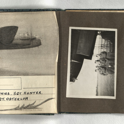
Aiming point certificate, aircrew and Manchester
First, a sketch of a Lancaster in flight, captioned 'Wismar, 12/13.X.42 F/Sgt Turner, F/Sgt Anderson, Sgt Davies, Sgt Hunter, Sgt Coombes, Sgt Cass, Sgt Osterloh. 61 Squadron.' Signed 'A Pollen P/O 1942.' Second, four men in uniform and side caps…
Air to ground attack of the Phillips Electronic Company factory in Eindhoven
Two photographs taken from the air of an attack on a collection of large buildings, bomb explosions clearly visible.
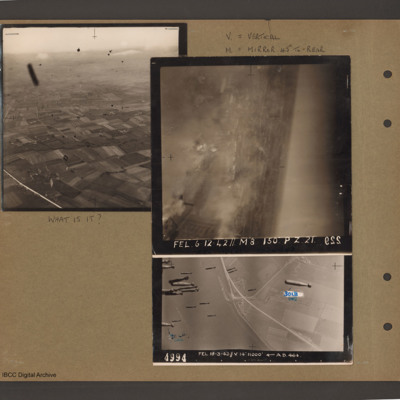
Air to ground photographs
Top left an aerial inclined photograph of open countryside. A road runs up the left hand side and below to the right are fields. There are many unidentified small black objects over the whole area. Caption 'What is it'.
Top right caption 'V =…
Top right caption 'V =…
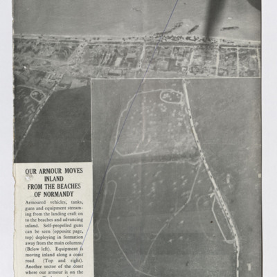
Air to ground photographs after D Day
Five newspaper clippings, four with captions, illustrate the damage done to the infrastructure in support of the allied ground forces.
The first captioned 'Our armour moves inland from the beaches of Normandy'. This shows part of the beach with…
The first captioned 'Our armour moves inland from the beaches of Normandy'. This shows part of the beach with…
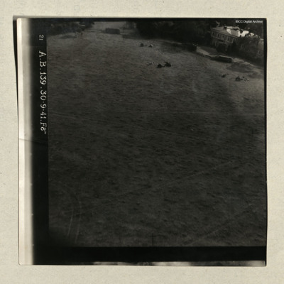
Air to ground photographs and Blenheim
Three photographs, all low level, the first flying over large flat area, large two story house on the right, with three field guns and limbers dispersed in front, captioned '21 A.B. 139. 30.9.41. F8" '.
Second is at sea, small group of ships in the…
Second is at sea, small group of ships in the…
Tags: aerial photograph; Blenheim
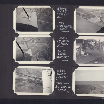
Air to ground views and servicing Tiger Moth
Top left - air to ground view of town with starboard wing. Captioned 'above Swift Current'. Top right - air t o ground view of open country. Captioned 'the experimental farm'. Middle left - air to ground view of open countryside with river. Captioned…
Tags: aerial photograph; crash; Tiger Moth; training
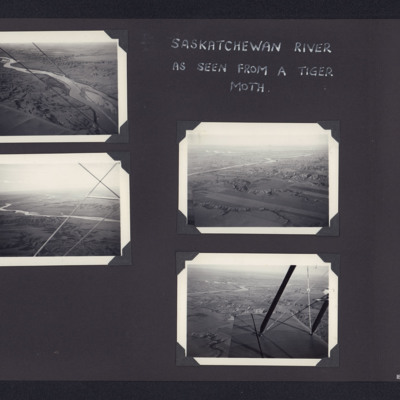
Airborne photographs of Saskatchewan river
Top left - air to ground view of river running bottom right to top left.Middle left - air to ground view of river in middle distance. Middle right - air to ground view of river on left. Bottom right - air to ground view of river in distance on left.…
Tags: aerial photograph; Tiger Moth; training
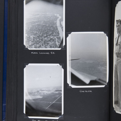
Airborne views around Miami Oklahoma
Top left - oblique aerial photograph of a town with river running from bottom to top right. Captioned 'Miami looking S.E.'.
Middle right - oblique aerial photograph of a town in middle distance with part of cockpit coaming and tailplane visible.…
Middle right - oblique aerial photograph of a town in middle distance with part of cockpit coaming and tailplane visible.…
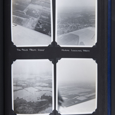
Airborne views round Miami Oklahoma
Top left - oblique aerial photograph of fields with buildings bottom right. Part of wing visible at bottom. Captioned 'The field from 2000''.
Top right - oblique aerial photograph of town in middle with open countryside beyond. Part of wing visible…
Top right - oblique aerial photograph of town in middle with open countryside beyond. Part of wing visible…
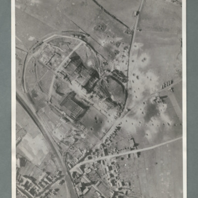
Aircraft factory at Albert
Reconnaissance photograph showing a railway line bottom left and an industrial area circled by a road in the centre. There are a number of craters to the right side of the industrial area. On the reverse 'Secret, Con G.412'

