Browse Items (1413 total)
- Tags: aerial photograph
Sort by:
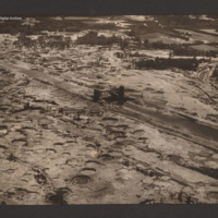
Sluice gate on the Dortmund Ems canal
Oblique aerial photograph taken at low altitude of the canal and sluice gate in centre. Surrounding area is covered in bomb craters with occasional vehicle track. The canal, mainly drained and with no vessels visible, runs from top left to bottom…
Tags: aerial photograph; bombing
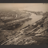
Bremerhaven
Oblique aerial photograph taken at low level showing port facilities, buildings, rail sidings and several vessels. The port is Bremerhaven. In the centre two waterways separated by a spur of land covered with dockyard buildings and cranes. On the…
Tags: aerial photograph
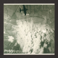
Bombing photographs
Target photograph shows extensive smoke from explosions obscuring the main part of the photograph. The surrounding view is of a rural area with fields and several converging minor roads. A Lancaster is visible top centre going from left to right.…
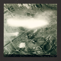
Nevers Railway Yards
Target photograph of Nevers railway yards. Flak burst or photoflash obscures middle of photograph. Railway sidings and three roundhouses can be seen together with main railway line running from lower left to top right surrounded by built-up areas and…
Caen
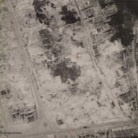
Aerial reconnaissance photograph of Caen showing heavy bombing damage. A few gutted buildings are still standing and the roads have been cleared of debris. No traffic visible.
Additional information about this item has been kindly provided by the…
Additional information about this item has been kindly provided by the…
Tags: aerial photograph; bombing
Scharnhorst and Gneisenau
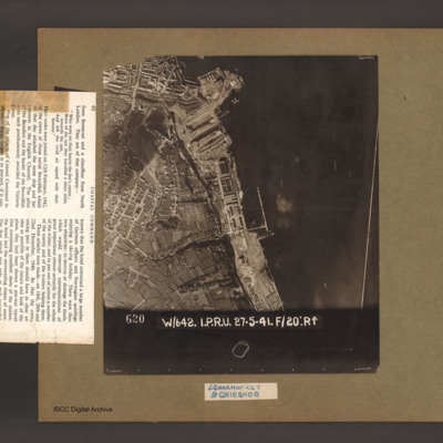
An aerial vertical photograph of a coastline lined with docks and buildings. At the top and inlet with docks and town buildings to its left. Below a peninsular are three docks pointing down and left. A large warship is moored in the bottom dock. Just…
Berlin
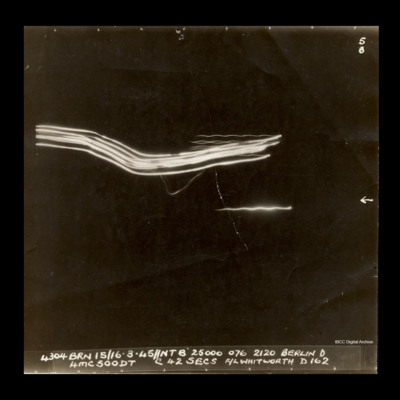
Target photograph of Berlin with no ground features visible. Some target indicator streaks run from the upper centre left to the centre right of the photograph. Captioned, '5B' and '4304 BRN 15/16.3.45 // NTB 25000 076 2120 Berlin D 4MC500DT C42Secs …
Berlin
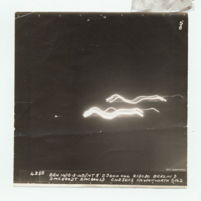
Target photograph of Berlin with no ground features visible. Two sets of target indicator streaks run from the centre to the right of the photograph. Captioned '5B' and '4285 BRN 14/15.3.45 // NT 8 25000 066 213030 Berlin D 2MC500DT 2MC500LD CH2Secs…
Berlin
Target photograph of Berlin with no ground features visible. Some target indicator streaks run from the upper left of the photograph toward the centre, with more coming into the top left of the photograph toward the top centre. Captioned '5/B', and…
Berlin
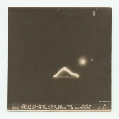
Target photograph of Berlin with no ground features visible. Some target indicator streaks just below centre right of the photograph, with one small flare to the right of centre, which is arrowed. Captioned '5/B' and, '4141 BRN 4/5.3.45 //NT8"…
Berlin
Target photograph of Berlin with no ground features visible. Some target indicator streaks just below centre right of the photograph, with one small flare to the right of centre, which is arrowed. Captioned '5/B' and, '4141 BRN 4/5.3.45 //NT8"…
Berlin
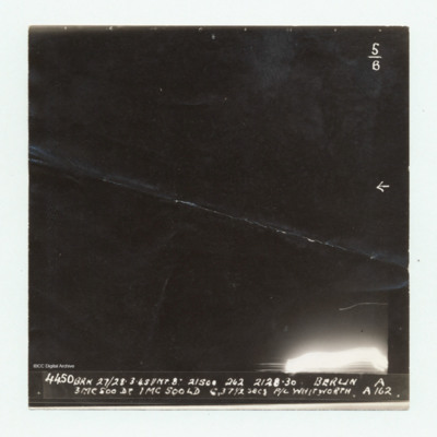
Target photograph of Berlin with no ground features visible. Some target indicator streaks appear in the bottom right corner of the photograph. Captioned '5/B' and, '4450 BRN 27/28.3.45//NT8" 21500 262 2128.30 Berlin A 3MC500DT 1M500LD C 37½ secs…
Berlin
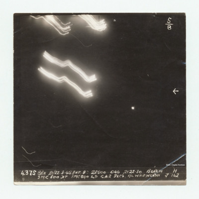
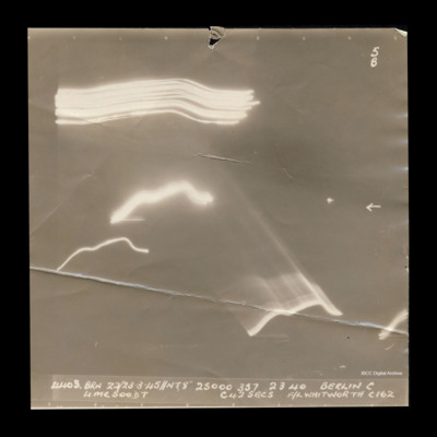
Target photograph taken on an operation to Berlin. Several streaks of light are clustered toward the top left of the photograph and others are across the centre and lower half. No ground features are visible. One small flare is visible to the right…
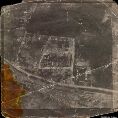
Bomb damaged town and marshalling yard
Unidentified aerial oblique photograph of a damaged urban area and large marshalling yard. Captioned 'J/83'.
Tags: aerial photograph; bombing
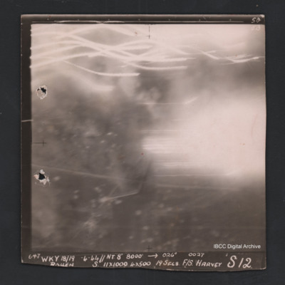
Rouen
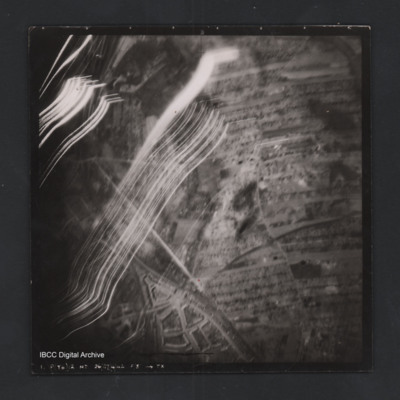
Vertical aerial photograph of Rouen. No ground detail visible, most of the image is obscured by flares or anti-aircraft fire. Captioned ‘5B 5B’and ‘647 Wky 18/19-4-44 //NT 8” 8000’ [arrow] 026° 0027 Rouen S 11x1000 4x500 19secs F/S…
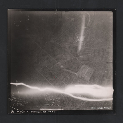
Argenteuil
Vertical aerial photograph of Argenteuil. Street pattern and buildings are visible, the cemetery is in the bottom-right corner. Anti-aircraft fire along bottom of photograph.Captioned ‘A O (x4) 12 NT 29/30/4/42 F/8” [arrow] TX
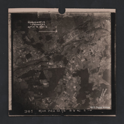
Romorantin-Pruniers aerodrome
Vertical aerial photograph of Romorantin-Pruniers aerodrome, identified with text ‘Romorantin-Pruniers 46° 19’N 1°41E’. The remainder of the photograph is rural with small villages except for the airfield area which has many buildings. An…
Rostock
Vertical aerial photograph of a railway junction. At the bottom is Rostock urban area. Anti-aircraft trace fire obscures part of the left side. Captioned ‘1. P(Y6) 12 NT 26/27/4/42 F/8” [arrow] TX’, on the reverse 2500’ W of old…
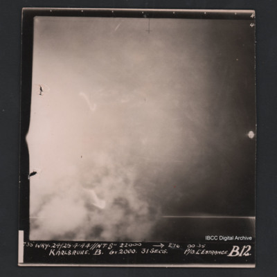
Karlsruhe
Vertical aerial photograph of Karlsruhe. The image is largely obscured by cloud or fires and no detail is visible. Captioned ‘735 WKY 24/25’4’44 //NT 8” 22000 [arrow] 276 0035 Karlsruhe B 6 X 2000 31 secs P/O L’Estrange B12’.
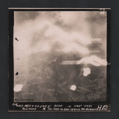
Aulnoye
Vertical aerial photograph of Aulnoye. The image is largely obscured by cloud or fires and anti-aircraft fire. The bottom half has roads and an urban area surrounded by fields. Captioned ‘608 WKY 10/11.4.44 //NT 8” 9000 [arrow] 030° 0221 …
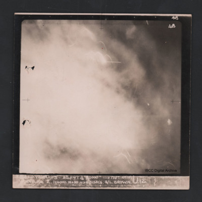
Nurnburg
Vertical aerial photograph of Nuremberg. The image is totally obscured by cloud or fires and anti-aircraft fire. Captioned ‘4B 4B’ and ‘[indecipherable] WKY 30/31-3-44 //NT 8” 22000 [arrow] 175° 01.15 Nurnburg Z 1 x 4000 16x30 31…
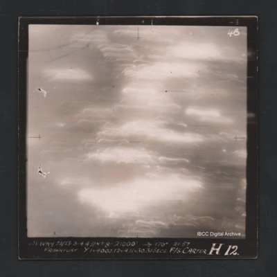
Frankfurt
Vertical aerial photograph of Frankfurt. The image is totally obscured by cloud or fires and anti-aircraft fire. Captioned ‘4B 4B' and ‘481 WKY 22/23-3-44 //NT 8” 21000 [arrow] 177° 21.57 Frankfurt Y 1 x 4000.12 & 4.11x30 31 secs F/S…
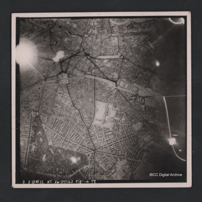
Hannover
Vertical aerial photograph of Hannover. The image is largely clear with only one flare in the top left. Street patterns and buildings are clearly visible. Captioned ‘2. J (Z6) 12 NT 26-27/1/42 F/8” [arrow] TX’
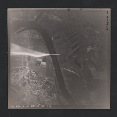
Hemelingen
Vertical aerial photograph of Bremen Hemelingen. The image is largely clear with only one flare in the centre left. A large river bisects the image and in the top are docks. Street patterns and buildings are clearly visible. At the bottom it is…
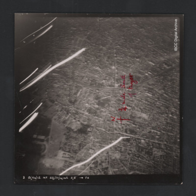
Colombes
Vertical aerial photograph of Colombes, France. The image is largely clear, only a few lines of tracer are visible with street patterns and buildings clearly visible. Bottom left a large stadium is partly visible. Annotated on the image is a north…

