Browse Items (142 total)
- Tags: RAF Binbrook
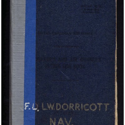
Leonard Dorricott's observer's and air gunner's flying log book
Tags: 1656 HCU; 1660 HCU; 1668 HCU; 460 Squadron; 576 Squadron; 61 Squadron; 81 OTU; Advanced Flying Unit; Air Observers School; aircrew; Anson; bombing; bombing of Hamburg (24-31 July 1943); Commodore; Cook’s tour; Halifax; Harrow; Heavy Conversion Unit; Lancaster; Lancaster Mk 1; Lancaster Mk 3; mine laying; navigator; Operation Dodge (1945); Operation Exodus (1945); Operation Manna (29 Apr – 8 May 1945); Operational Training Unit; Oxford; RAF Binbrook; RAF Bottesford; RAF Breighton; RAF Fiskerton; RAF Halfpenny Green; RAF Lindholme; RAF Sturgate; RAF Swinderby; RAF Tilstock; RAF Waddington; training; Whitley
Donald Cochrane’s observer's and air gunner's flying log book
Tags: 1657 HCU; 30 OTU; 460 Squadron; aircrew; Anson; bombing; Bombing of Mailly-le-Camp (3/4 May 1944); bombing of Nuremberg (30 / 31 March 1944); bombing of the Boulogne E-boats (15/16 June 1944); bombing of the Le Havre E-boat pens (14/15 June 1944); bombing of the Normandy coastal batteries (5/6 June 1944); Dominie; Heavy Conversion Unit; Lancaster; Lancaster Finishing School; mine laying; Normandy campaign (6 June – 21 August 1944); Operational Training Unit; Proctor; RAF Binbrook; RAF Feltwell; RAF Seighford; RAF Stradishall; Stirling; training; Wellington; wireless operator
Basil Ambrose’s flying log book for navigators, air bombers, air gunners, flight engineers
Tags: 1660 HCU; 467 Squadron; 617 Squadron; aircrew; bombing; flight engineer; Heavy Conversion Unit; Lancaster; Lancaster Finishing School; Lincoln; Operation Dodge (1945); Operation Exodus (1945); Oxford; RAF Binbrook; RAF St Athan; RAF Swinderby; RAF Syerston; RAF Waddington; RAF Woodhall Spa; Stirling; training
James Wrigley's flying log book
Tags: 10 OTU; 1656 HCU; 19 OTU; 199 Squadron; 35 Squadron; 617 Squadron; 635 Squadron; 81 OTU; 83 Squadron; 97 Squadron; Air Gunnery School; aircrew; Anson; B-29; Blenheim; bombing; bombing of Hamburg (24-31 July 1943); bombing of Kassel (22/23 October 1943); bombing of Nuremberg (30 / 31 March 1944); Bombing of Peenemünde (17/18 August 1943); bombing of the Le Havre E-boat pens (14/15 June 1944); Dominie; final resting place; Halifax; Halifax Mk 1; Halifax Mk 2; Heavy Conversion Unit; killed in action; Lancaster; Lancaster Mk 1; Lancaster Mk 3; Lincoln; missing in action; Normandy campaign (6 June – 21 August 1944); Operational Training Unit; Pathfinders; Proctor; RAF Abingdon; RAF Binbrook; RAF Bourn; RAF Downham Market; RAF Hemswell; RAF Kinloss; RAF Lindholme; RAF Marham; RAF Pembrey; RAF Scampton; RAF Shallufa; RAF St Athan; RAF Tilstock; RAF Yatesbury; training; Wellington; Whitley; wireless operator
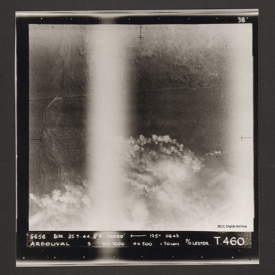
Ardouval
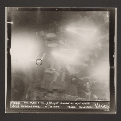
Bois Desjardins
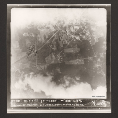
Trossy St Maximin
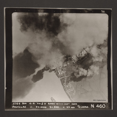
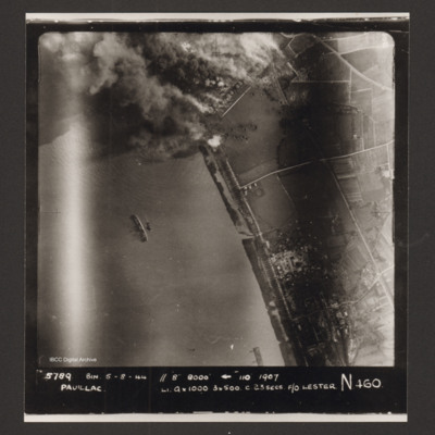
Pauillac
Pauillac
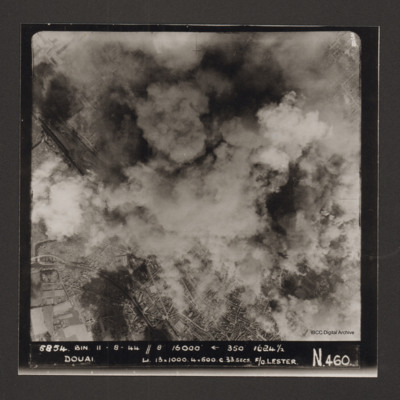
Douai
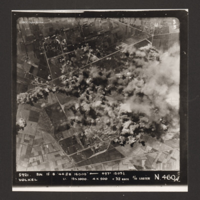
Volkel
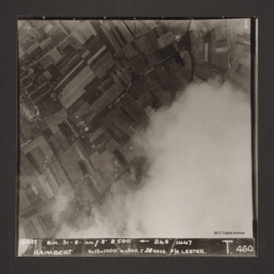
Raimbert
Captioned '6051 Bin. 31-8-44//8" 8,800'
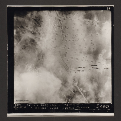
Sangatte
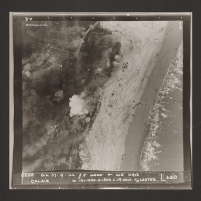
Calais
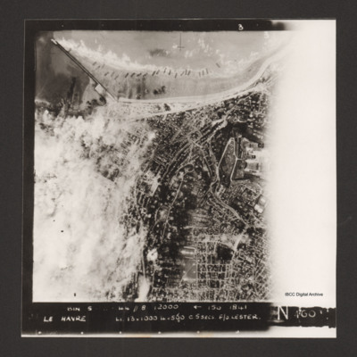
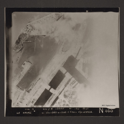
Le Havre
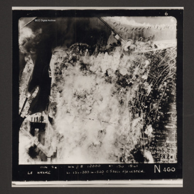
Le Havre
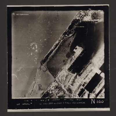
Captioned 'Captioned 'BIN 5-8-44 //8 12000' [arrow] 150 1841 Le Havre Li 13x1000 4x500 c5secs F/O Lester N 460'.
Le Havre
Le Havre docks
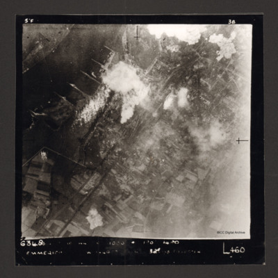
Emmerich
Captioned '6348 [undecipherable] 1000 [undecipherable] Emmerich [undecipherable] L460'.
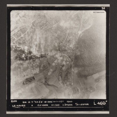
Le Havre
George Toombs’ flying log book for navigators, air bombers, air gunners and flight engineers
Tags: 1667 HCU; 460 Squadron; aircrew; bombing; bombing of Luftwaffe night-fighter airfields (15 August 1944); Bombing of Trossy St Maximin (3 August 1944); flight engineer; Halifax; Heavy Conversion Unit; Lancaster; Lancaster Finishing School; mine laying; Normandy campaign (6 June – 21 August 1944); RAF Binbrook; RAF Hemswell; RAF Sandtoft; tactical support for Normandy troops; training
Ronald G Britt’s navigator’s air bomber’s and air gunner’s flying log book
Tags: 103 Squadron; 1656 HCU; 28 OTU; air gunner; Air Gunnery School; aircrew; Anson; bombing of the Le Havre E-boat pens (14/15 June 1944); bombing of the Normandy coastal batteries (5/6 June 1944); Halifax; Heavy Conversion Unit; Lancaster; Lancaster Finishing School; Normandy campaign (6 June – 21 August 1944); Operational Training Unit; RAF Binbrook; RAF Elsham Wolds; RAF Greenock; RAF Hemswell; RAF Lindholme; RAF Stormy Down; RAF Wymeswold; Sunderland; tactical support for Normandy troops; training; Wellington
D E Owen’s flying log book for navigators, air bombers, air gunners, flight engineers. Two
Tags: 149 Squadron; 1657 HCU; 1668 HCU; 617 Squadron; 9 Squadron; air sea rescue; aircrew; anti-aircraft fire; bombing; Cook’s tour; crash; Distinguished Service Order; flight engineer; Gibson, Guy Penrose (1918-1944); Heavy Conversion Unit; Lancaster; Lancaster Finishing School; Lancaster Mk 1; Lancaster Mk 3; mine laying; Operation Dodge (1945); Operation Exodus (1945); Oxford; RAF Balderton; RAF Bardney; RAF Binbrook; RAF East Kirkby; RAF Lakenheath; RAF Mildenhall; RAF Scampton; RAF Stradishall; RAF Syerston; RAF Waddington; Stirling; training
Jo Lancaster’s pilots flying log book. Two
Tags: aircrew; Albemarle; Anson; B-17; B-24; B-25; B-26; Beaufighter; Blenheim; Boston; C-47; Defiant; Halifax; Hampden; Harvard; Hudson; Hurricane; Lancaster; Lincoln; Martinet; Me 410; Meteor; Mosquito; Oxford; pilot; RAF Binbrook; RAF Boscombe Down; Spitfire; Stirling; Sunderland; Swordfish; Tiger Moth; Typhoon; Ventura; Wellington; York
Jo Lancaster’s pilots flying log book. One
Tags: 12 Squadron; 20 OTU; 22 OTU; 28 OTU; 40 Squadron; aircrew; bombing; bombing of Cologne (30/31 May 1942); Flying Training School; Halifax; Lancaster; Magister; Martinet; mine laying; Operational Training Unit; Oxford; pilot; RAF Ansty; RAF Binbrook; RAF Desford; RAF Kirmington; RAF Lossiemouth; RAF Sealand; RAF Sywell; RAF Ternhill; RAF Upavon; RAF Wellesbourne Mountford; RAF Wickenby; RAF Wymeswold; RAF Wyton; Spitfire; Stirling; Tiger Moth; training; Wellington; Whitley

