Browse Items (701 total)
- Tags: Normandy campaign (6 June – 21 August 1944)
Sort by:
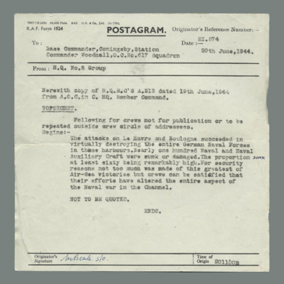
Postgram from 5 Group Headquarters to Officer Commanding 617 Squadron
Message is a copy of Headquarters Bomber Command signal congratulating crews that their attacks on Le Havre and Boulogne succeeded in virtually destroying German naval assets in those harbours.
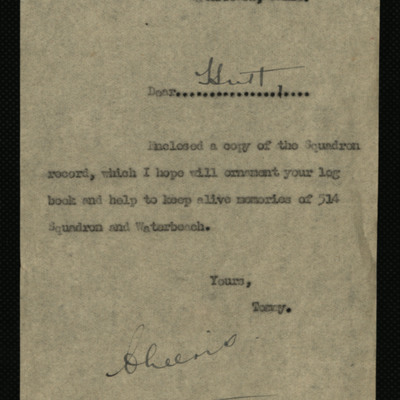
Letter to George Hutton and 514 Squadron Record
A note accompanying a print of 514 squadron's record. The record details all the squadron's operations, sorties, bombs dropped and numbers of aircraft lost.
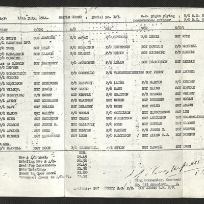
625 Squadron Battle Order 18 July 1944
A list of aircraft and crew required for operations on 18 July 1944.
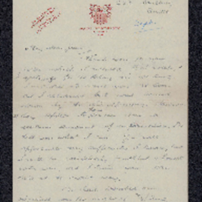
Letter to Joan Wareing from Alan Buppinger
Describes events during an operation to support the Normandy troops when Robert Wareing's aircraft was attached by fighters and set on fire. Four crew members were killed and four baled out. Author and one other evaded with help of French resistance,…
Operational notes
Lists 42 operations with dates, targets, aircraft, fuel, bomb loads, times and accounts of sortie for each one. Mentions Pathfinder marking, occasional air sickness, Master Bomber, number of aircraft lost on some operations, damage to aircraft on a…
Tags: 514 Squadron; 582 Squadron; 7 Squadron; aircrew; anti-aircraft fire; bombing; bombing of the Juvisy, Noisy-le-Sec and Le Bourget railways (18/19 April 1944); Bombing of Trossy St Maximin (3 August 1944); flight engineer; Heavy Conversion Unit; Lancaster; Lancaster Mk 2; Lancaster Mk 3; Martinet; Master Bomber; missing in action; navigator; Normandy campaign (6 June – 21 August 1944); Operational Training Unit; Pathfinders; pilot; RAF Little Staughton; RAF Warboys; RAF Waterbeach; tactical support for Normandy troops; training; V-1; V-weapon; Window
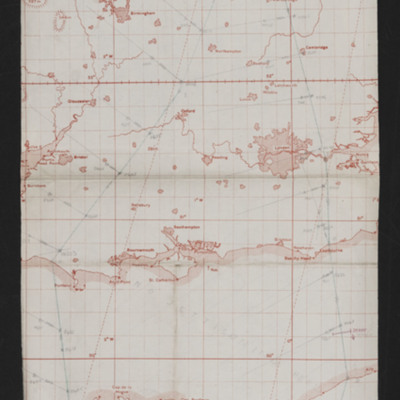
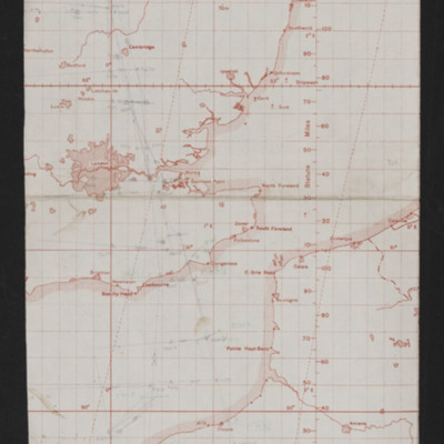
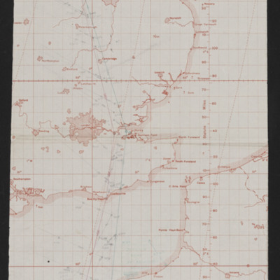
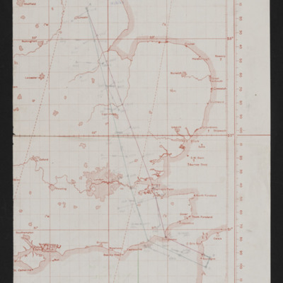
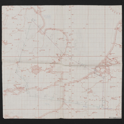
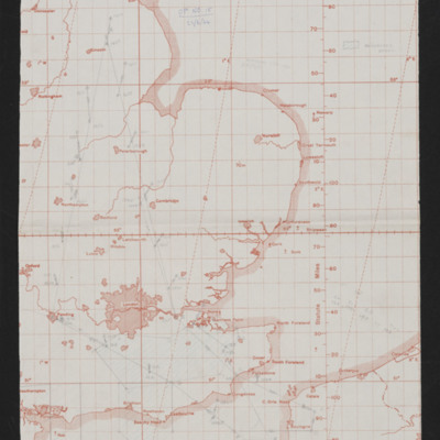
Navigation chart - operation number 7
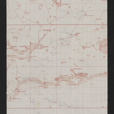
Map showing southern England and the Cherbourg peninsula. Pencilled route from Lincoln area to target south east of Cherbourg. Annotated top right 'Op No. 7, 5/6/44'. On the reverse 'Op 7, eve of D-Day'.
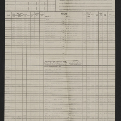
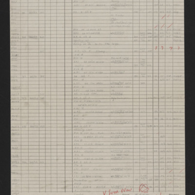
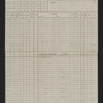
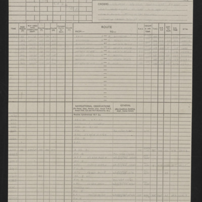
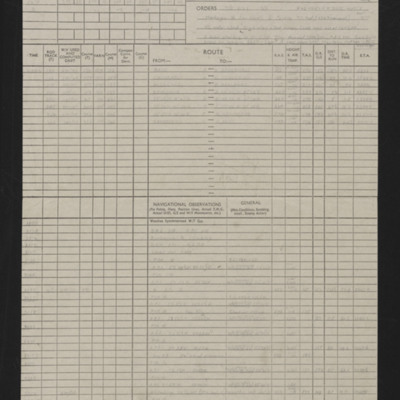
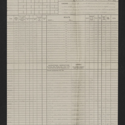
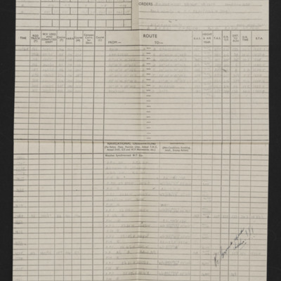
Navigation log - Op No 7
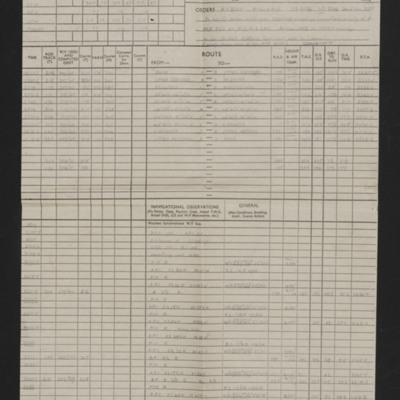
Details of aircraft, captain, navigator, date, orders, route and page and half en-route navigation observations. Annotated in red pen. Note top right 'Op No 7'.
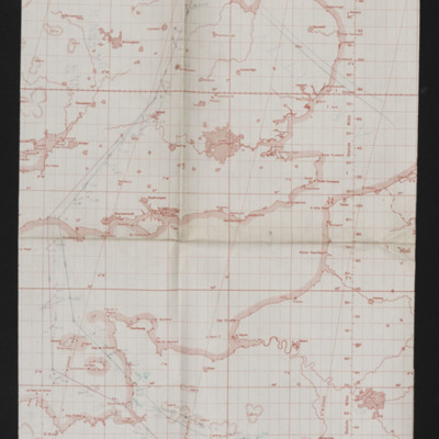
Navigation chart - operation number 8
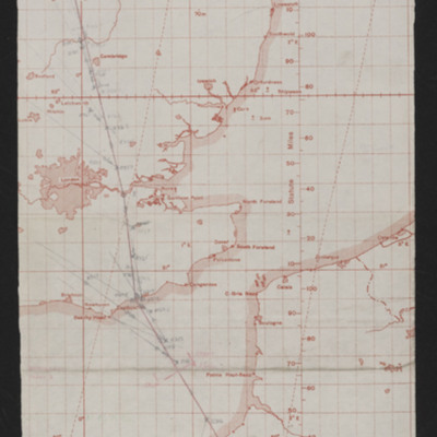
Map showing south east England and northern France with pencilled route from Lincoln area to Paris. Annotated top left 'Op No 7/6/44, Paris'
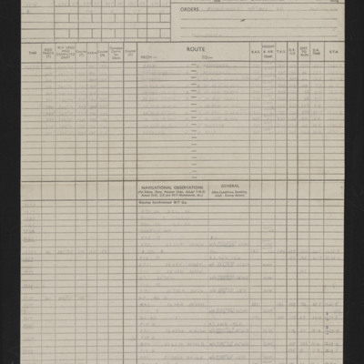
Navigation log - Op No 8
Details of navigator, date, orders, route and page and half en-route navigation observations. Annotated in red pen. Note top right 'Op No 8'.
Navigation chart - operation number 9
Map showing southern England and Normandy with pencilled route from near Lincoln to south Normandy. Annotated top right ''Op No 9, 9/6/44'.
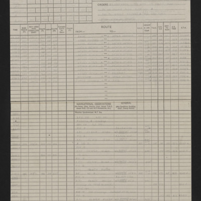
Navigation log - Op No 9
Details of navigator, date, orders, route and page and half en-route navigation observations. Annotated in red pen 'V. Good Nav [signature] I cannot understand how target was not found.' Note top right 'Op No 9'.
Navigation chart - operation number 10
Map showing south east England and northern France with pencilled route from Lincoln area to southern Normandy. Annotated top left 'Op No. 10 Evreux, 11/6/44'.
Navigation log
Details of navigator, date, orders, route and page and half en-route navigation observations. Annotated in blue pen.
Navigation chart - operation number 12
Map showing east England and northern France with pencilled route from Lincoln area to Le Havre. Annotated top 'Op No 12, 14/6/44'.
Navigation log - Op No 12
Details of navigator, date, orders, route and page and half en-route navigation observations. Annotated in red and black pen 'Bombed 4 mins early. Good nav but not much effort made to keep to time. S/C 4 mins early [signature]' 'See me re plotting…
Navigation chart - operation number 13
Map showing south east England and northern France with pencilled route from Lincoln area to Boulogne. Annotated top middle 'Op No, 13, (Boulogne), 15/6/44'. On the reverse 'Op 13 Boulogne (2cd daylight)'.
Navigation log - Op No 13
Details of squadron, aircraft, captain, navigator, date, orders, route and page and half en-route navigation observations. Annotated in black pen. Note on top right 'Op No 13 (Boulogne)'.
Navigation chart - operation number 14
Map showing south east England and northern France/Belgium. Pencilled route from Lincoln area to target in France Southeast of Lille. Annotated top left 'Op No 14, 17/6/44'. On the reverse 'Op No 14, (17/6/44)'.
Navigation log - Op No 14
Details of squadron, aircraft, captain, navigator, date, orders, route and page and half en-route navigation observations. Annotated in blue and black pen. Note on top right 'Op No 14'. Includes a comment 'What was wrong with your H2S?'
Navigation chart - operation number 15
Map showing south east England and northern France with pencilled route from Lincoln area to target between Calais and Boulogne. Annotated top 'Op No 15, 22/6/44'.
Navigation log - Op No 15
Details of squadron, aircraft, captain, navigator, date, orders, route and page and half en-route navigation observations. Annotated in blue and black pen. Note on top right 'Op No 15'. A note says they bombed early.
Navigation chart - operation number 16
Map showing south east England and northern France with pencilled route from Lincoln area to north west of Amiens. Annotate at top 'Op No 16, 2/7/44'. On the reverse 'Op 16'.
Navigation log - Op No 16
Details of squadron, aircraft, captain, navigator, date, orders, route and page and half en-route navigation observations. Annotated in blue pen. Note on top right 'Op No 16'.
Navigation chart - operation number 17
Map showing southern England and northern France with pencilled route from the Lincoln area to target in Orleans. Annotated top right 'Op No. 17, 3/7/44'.
Navigation log - Op No 17
Details of navigator, date, orders, route and two and a half pages of en-route navigation observations. Annotated in blue pen. Note on top right 'Op No 17'.

