Browse Items (297 total)
- Tags: Cook’s tour
Hamburg and Bremen
Photograph two is a Brownie Box camera view of Hamburg.
Photograph three is a low level oblique…
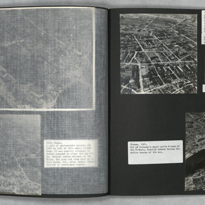
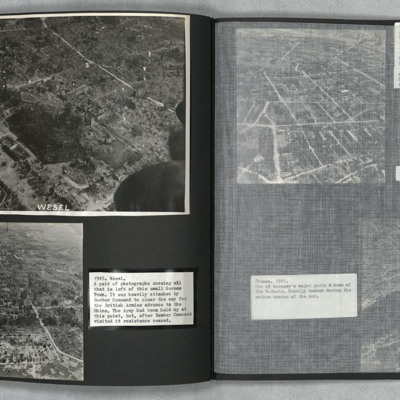
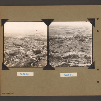
Wesel
Tags: aerial photograph; bombing; Cook’s tour
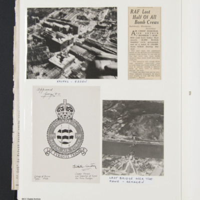
Essen
Tags: aerial photograph; bombing; Cook’s tour
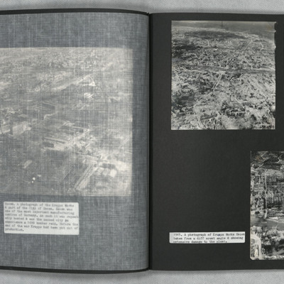
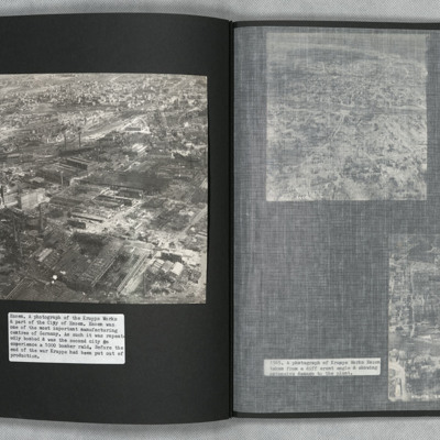
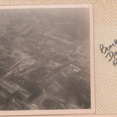
Krupps Works, Essen
Tags: aerial photograph; bombing; Cook’s tour
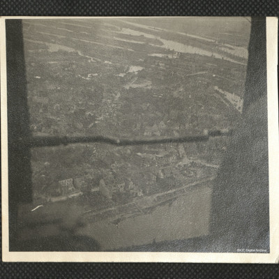
Hamburg
Identification kindly provided by members of 'Finding the location WW1 & WW2' Facebook group.
Tags: aerial photograph; Cook’s tour
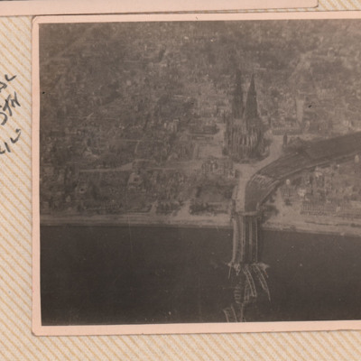
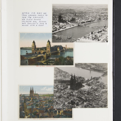
Cologne Cathedral
Tags: aerial photograph; bombing; Cook’s tour
Krupp Essen
Tags: aerial photograph; bombing; Cook’s tour
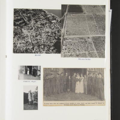
Bonn bomb damage, prisoners, wedding photographs
Aerial photograph of large fenced areas captioned 'Prisoners'.
Two small photographs, one of bride and groom on church steps with RAF party, second of Keith Thompson and Jessie in garden…
Post war German bomb damage
Photograph of a destroyed bridge over a river, captioned, 'Last bridge over the Rhine-Remagen'.
copy of…
Cologne
Tags: aerial photograph; bombing; Cook’s tour
Reg Manning's observer's and air gunner's flying log book
Tags: 10 Squadron; 1652 HCU; 1668 HCU; 462 Squadron; 51 Squadron; 614 Squadron; air gunner; Air Gunnery School; air sea rescue; aircrew; Anson; Battle; bombing of Cologne (30/31 May 1942); bombing of the Normandy coastal batteries (5/6 June 1944); Cook’s tour; Distinguished Flying Cross; flight engineer; Gneisenau; Halifax; Harrow; Heavy Conversion Unit; Lancaster; Lincoln; Magister; Me 110; Meteor; Mosquito; Normandy campaign (6 June – 21 August 1944); Oxford; promotion; RAF Aqir; RAF Binbrook; RAF Cottesmore; RAF Filton; RAF Finningley; RAF Hemswell; RAF Henlow; RAF Holme-on-Spalding Moor; RAF Honington; RAF Kasfereet; RAF Leeming; RAF Lindholme; RAF Linton on Ouse; RAF Marham; RAF Marston Moor; RAF Medmenham; RAF Middleton St George; RAF Pembrey; RAF Scampton; RAF Snaith; RAF St Eval; RAF Stormy Down; RAF Stradishall; RAF Swanton Morley; RAF Topcliffe; RAF Upwood; RAF Waddington; RAF Wyton; Scharnhorst; tactical support for Normandy troops; Tirpitz; training; V-1; V-weapon; Wellington; Whitley
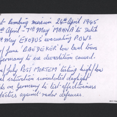
List of immediate post war operations
George Holmes' navigator’s, air bomber’s and air gunner’s flying log book
Tags: 1660 HCU; 17 OTU; 50 Squadron; 83 Squadron; 9 Squadron; Air Gunnery School; aircrew; bombing; bombing of Dresden (13 - 15 February 1945); bombing of the Normandy coastal batteries (5/6 June 1944); Botha; Cook’s tour; Dominie; Heavy Conversion Unit; Lancaster; Lancaster Finishing School; Lancaster Mk 1; Lancaster Mk 3; Lincoln; mid-air collision; military service conditions; Normandy campaign (6 June – 21 August 1944); Operation Dodge (1945); Operational Training Unit; Oxford; Pathfinders; Proctor; RAF Bardney; RAF Coningsby; RAF Evanton; RAF Hemswell; RAF Silverstone; RAF Skellingthorpe; RAF Swinderby; RAF Syerston; RAF Turweston; RAF Yatesbury; Stirling; tactical support for Normandy troops; training; Wellington; wireless operator
Donald Fraser's navigator's, air bomber's, air gunner's flying log book
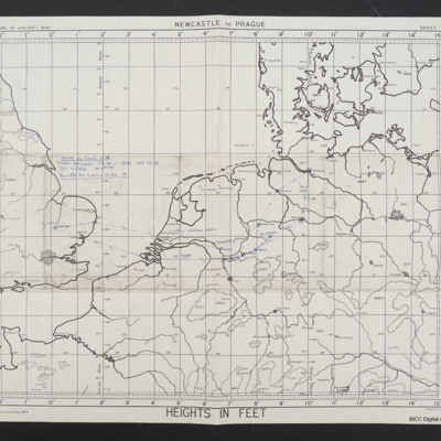
Map of Cooks Tour June 1945
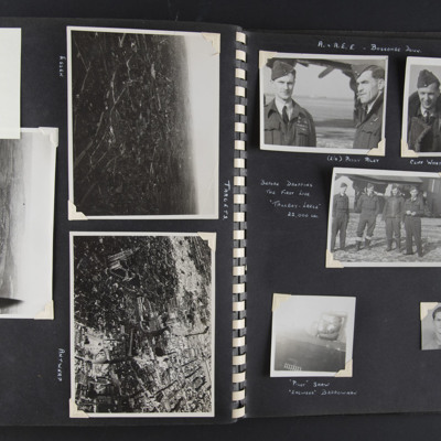
Targets and A&AEE Boscombe Down
Top left - a note 'got to here'. Top right - an aerial oblique view of a city-scape with some large buildings and some damage visible. Captioned 'Essen' on the reverse 'Essen'.
Middle - an aerial oblique view of a…
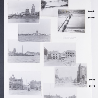
Bomb damage to Emmerich, Cologne and Weser
Photograph 2 is a low level oblique photograph of Cologne, with bomb damaged Hohenzollern Bridge.
Photograph 4 is a low level oblique photograph of Wesel with bomb damaged…
Tags: aerial photograph; bombing; Cook’s tour
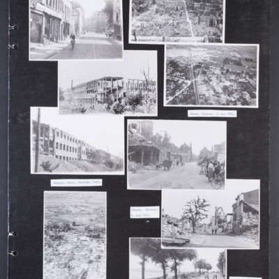
Bomb damaged German cities
Photograph 2 is a low level oblique photograph of a badly damaged city. In the distance are port cranes.
Photograph 3 and 5 are…
Tags: aerial photograph; bombing; Cook’s tour
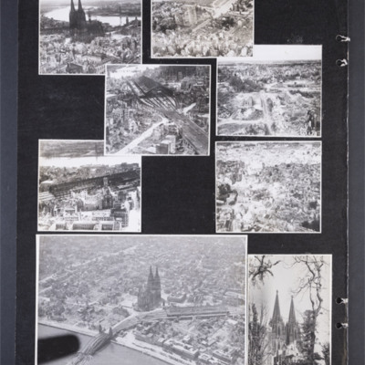
Cologne 15 August 1945
Photograph 2 is a low level oblique photograph of a church, a bridge and the river Rhine.
Photograph 3 and 5 are low level oblique photographs of the main railway station.
Photograph…
Tags: aerial photograph; bombing; Cook’s tour
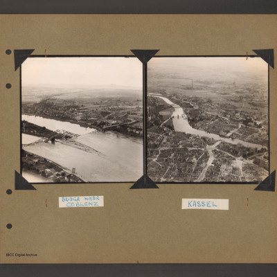
Kassel and a Bridge near Coblenz
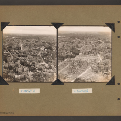
Hanover
Tags: aerial photograph; bombing; Cook’s tour
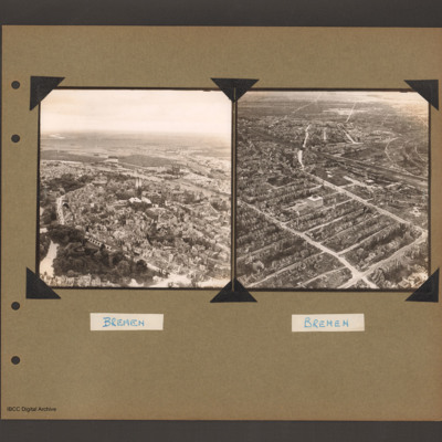
Bremen
Tags: aerial photograph; bombing; Cook’s tour
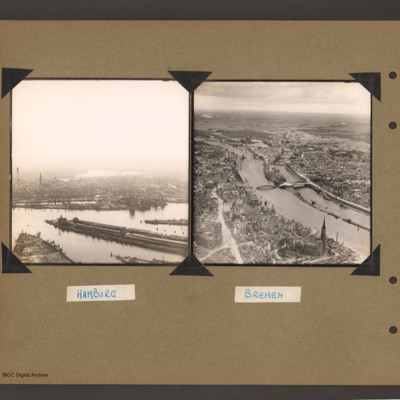
Hamburg and Bremen
Tags: aerial photograph; bombing; Cook’s tour
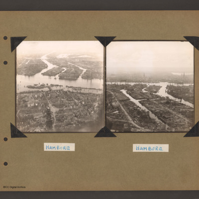
Hamburg
Tags: aerial photograph; bombing; Cook’s tour
Wesel
Tags: aerial photograph; bombing; Cook’s tour

