Browse Items (52 total)
- Tags: 40 Squadron
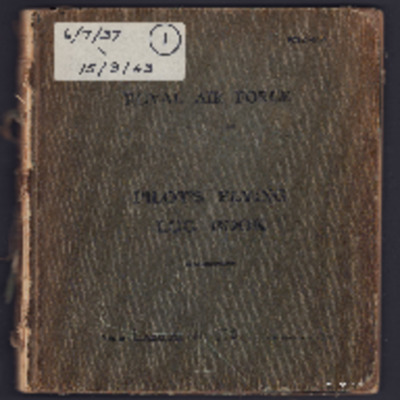
Jo Lancaster’s pilots flying log book. One
Tags: 12 Squadron; 20 OTU; 22 OTU; 28 OTU; 40 Squadron; aircrew; bombing; bombing of Cologne (30/31 May 1942); Flying Training School; Halifax; Lancaster; Magister; Martinet; mine laying; Operational Training Unit; Oxford; pilot; RAF Ansty; RAF Binbrook; RAF Desford; RAF Kirmington; RAF Lossiemouth; RAF Sealand; RAF Sywell; RAF Ternhill; RAF Upavon; RAF Wellesbourne Mountford; RAF Wickenby; RAF Wymeswold; RAF Wyton; Spitfire; Stirling; Tiger Moth; training; Wellington; Whitley
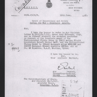
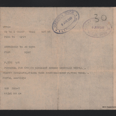
Letter awarding DFM to Edward Nevill
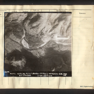
Matesevo-Kolasin road
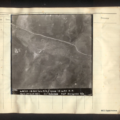
Novi Pazar roads
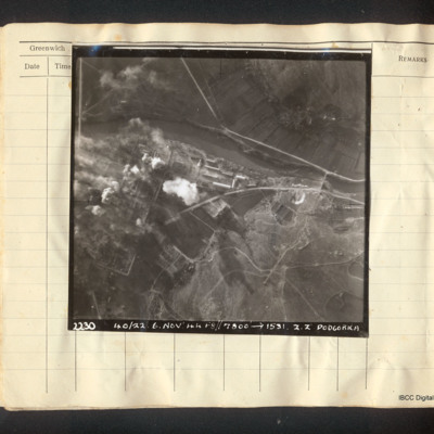
Podgorica
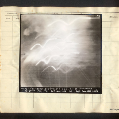
Podgorica
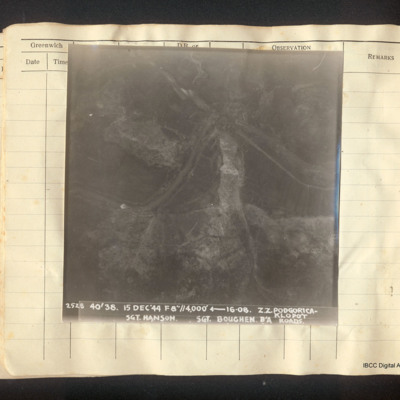
Podgorica-Klopot roads
Ponte della Priula
RAF Badges cigarette card collection
Tags: 104 Squadron; 12 Squadron; 15 Squadron; 18 Squadron; 20 Squadron; 207 Squadron; 216 Squadron; 23 Squadron; 25 Squadron; 27 Squadron; 28 Squadron; 31 Squadron; 32 Squadron; 35 Squadron; 38 Squadron; 40 Squadron; 43 Squadron; 57 Squadron; 66 Squadron; 70 Squadron; 9 Squadron; RAF Abingdon; RAF Biggin Hill; RAF Bircham Newton; RAF Calshot; RAF Catterick; RAF Duxford; RAF Farnborough; RAF Hendon; RAF Henlow; RAF Hornchurch; RAF Kenley; RAF Marham; RAF Martlesham Heath; RAF Mildenhall; RAF Netheravon; RAF North Weald; RAF Northolt; RAF Odiham; RAF Scampton; RAF Tangmere; RAF Upavon; RAF Upper Heyford
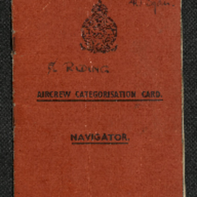
Ron Riding's Aircrew Categorisation Card - Navigator
Tags: 40 Squadron; aircrew; B-24; Gee; Heavy Conversion Unit; navigator; training; York
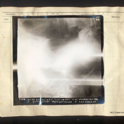
Salcano railway bridge
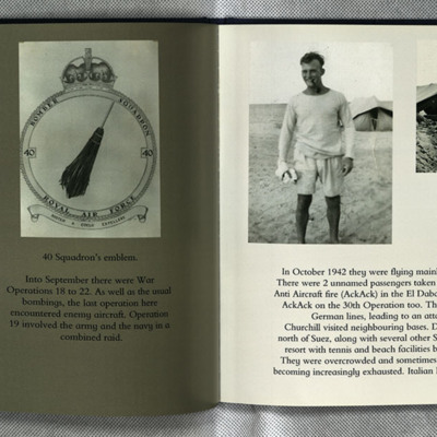
Sam Saunder's Operations
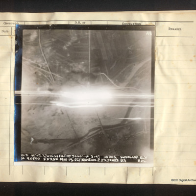
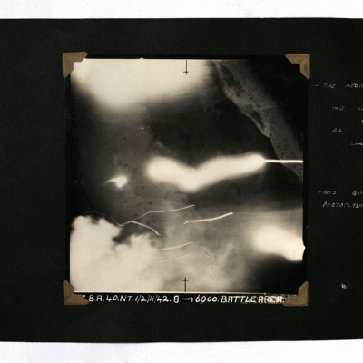
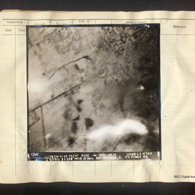
Photo 1 is a vertical aerial photograph partly obscured by tracer fire.
Photo 2 is the 40 squadron crest.
Photo 3 is Sam in shorts and tee shirt in front of a…
Sam Saunders's flying log book
Tags: 128 Squadron; 15 OTU; 16 OTU; 216 Squadron; 38 Squadron; 40 Squadron; 627 Squadron; 692 Squadron; Air Observers School; aircrew; Anson; Battle; bombing; Bombing and Gunnery School; C-47; Hudson; mine laying; Mosquito; navigator; Operational Training Unit; Oxford; Proctor; RAF Graveley; RAF Harwell; RAF Hendon; RAF Marham; RAF Oakington; RAF Shallufa; RAF Upper Heyford; RAF Wyton; RCAF Rivers; Tiger Moth; training; Wellington
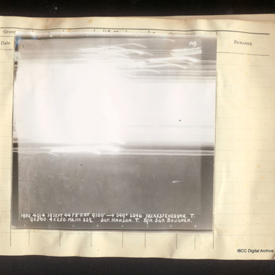
Szekesfehervar
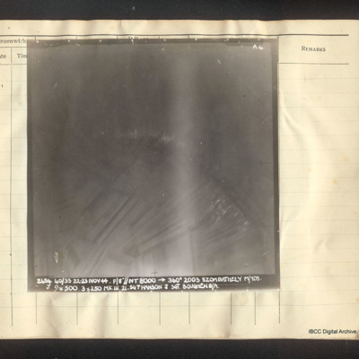
Szombathely
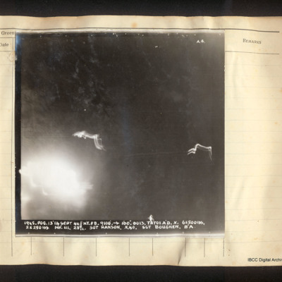
Tatoi aerodrome
Telegram to Edward Nevill
The 15th Panzer Division at El Alamein
Tags: 40 Squadron; aerial photograph; bombing
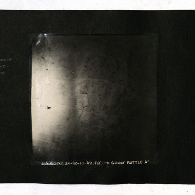
The Battle of Alamein
Tags: 40 Squadron; aerial photograph; bombing
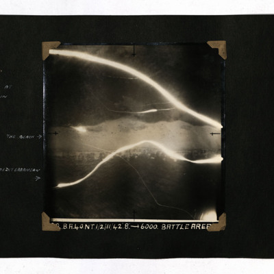
The coast at El Alamein
Tags: 40 Squadron; aerial photograph; bombing
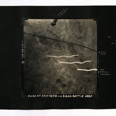
The Coast Road at El Alamein
Tags: 40 Squadron; aerial photograph; bombing
The Kriegie June 2001
Tags: 10 Squadron; 103 Squadron; 35 Squadron; 40 Squadron; 57 Squadron; 77 Squadron; 9 Squadron; aircrew; B-17; B-24; bale out; Blenheim; bomb aimer; bombing; bombing of Dresden (13 - 15 February 1945); C-47; Catalina; Distinguished Flying Medal; Dulag Luft; escaping; flight engineer; Fw 190; ground personnel; H2S; Halifax; Harris, Arthur Travers (1892-1984); Heavy Conversion Unit; Hitler, Adolf (1889-1945); Hurricane; Ju 88; Lancaster; Me 110; medical officer; memorial; mess; Mosquito; navigator; Nissen hut; Operational Training Unit; P-51; Pathfinders; Photographic Reconnaissance Unit; prisoner of war; RAF Abingdon; RAF Elsham Wolds; RAF Halton; RAF Hemswell; RAF Henlow; RAF Jurby; RAF Leeming; RAF Lindholme; RAF Lyneham; RAF Melbourne; RAF St Athan; RAF Uxbridge; Red Cross; shot down; Spitfire; sport; Stalag Luft 1; Stalag Luft 3; Stalag Luft 4; Stalag Luft 7; the long march; Tiger Moth; training; Wellington; Whitley
The Road and Railway at Fuka
Tags: 40 Squadron; aerial photograph; bombing
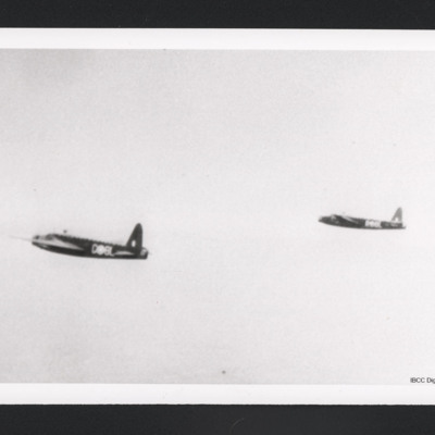
Two Wellingtons in flight
Tags: 40 Squadron; Wellington

