Browse Items (67 total)
- Temporal Coverage is exactly "1944-09-27"
Ronald Bailey's flying log book
Tags: 158 Squadron; 1666 HCU; 425 Squadron; 90 Squadron; aircrew; bombing; bombing of Luftwaffe night-fighter airfields (15 August 1944); Cook’s tour; flight engineer; Halifax; Heavy Conversion Unit; Lancaster; Normandy campaign (6 June – 21 August 1944); RAF Lissett; RAF Stradishall; RAF Tholthorpe; RAF Tuddenham; RAF Wombleton; Stirling; tactical support for Normandy troops; training
George Toombs’ flying log book for navigators, air bombers, air gunners and flight engineers
Tags: 1667 HCU; 460 Squadron; aircrew; bombing; bombing of Luftwaffe night-fighter airfields (15 August 1944); Bombing of Trossy St Maximin (3 August 1944); flight engineer; Halifax; Heavy Conversion Unit; Lancaster; Lancaster Finishing School; mine laying; Normandy campaign (6 June – 21 August 1944); RAF Binbrook; RAF Hemswell; RAF Sandtoft; tactical support for Normandy troops; training
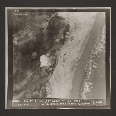
Calais
Robert McClement's Flying Log Book for Navigators, Air Bombers, Air Gunners, Flight Engineers
Tags: 10 Squadron; 1658 HCU; 20 OTU; air gunner; Air Gunnery School; aircrew; Anson; bombing; bombing of Luftwaffe night-fighter airfields (15 August 1944); FIDO; Halifax; Halifax Mk 2; Halifax Mk 3; Heavy Conversion Unit; Normandy campaign (6 June – 21 August 1944); Operation Manna (29 Apr – 8 May 1945); Operational Training Unit; RAF Lossiemouth; RAF Melbourne; RAF Pembrey; RAF Riccall; tactical support for Normandy troops; training; V-1; V-weapon; Wellington
L Kirrage's flying log book for navigators, air bombers. air gunners and flight engineers
Arthur Atkins’ flying log book for pilots
Tags: 1662 HCU; 1667 HCU; 27 OTU; 625 Squadron; Advanced Flying Unit; aircrew; Anson; bombing; Flying Training School; Halifax; Halifax Mk 2; Halifax Mk 5; Heavy Conversion Unit; Lancaster; Lancaster Finishing School; Lancaster Mk 1; Lancaster Mk 3; Normandy campaign (6 June – 21 August 1944); Operational Training Unit; Oxford; pilot; RAF Andover; RAF Blyton; RAF Church Broughton; RAF Gamston; RAF Hemswell; RAF Kelstern; RAF Lichfield; RAF Sandtoft; RAF Westcott; tactical support for Normandy troops; Tiger Moth; training; V-1; V-weapon; Wellington
John Derek Bailey’s Royal Canadian Air Force flying log book for aircrew other than pilot
Tags: 103 Squadron; 1654 HCU; 166 Squadron; 1660 HCU; 1667 HCU; 20 OTU; 83 OTU; Advanced Flying Unit; aircrew; Anson; Bolingbroke; bomb aimer; bombing; Bombing and Gunnery School; Halifax; Halifax Mk 2; Halifax Mk 5; Heavy Conversion Unit; Initial Training Wing; Lancaster; Lancaster Finishing School; Lancaster Mk 3; mine laying; Operational Training Unit; RAF Acaster Malbis; RAF Bicester; RAF Blyton; RAF Catterick; RAF Elsham Wolds; RAF Heaton Park; RAF Hemswell; RAF Kirkham; RAF Kirmington; RAF Lindholme; RAF Llandwrog; RAF Lossiemouth; RAF Moreton in the Marsh; RAF Paignton; RAF Penrhos; RAF Peplow; RAF Sandtoft; RAF Scampton; RAF Swinderby; RAF Wickenby; RAF Wigsley; RAF Worksop; RCAF Moncton; training; Wellington
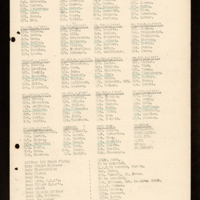
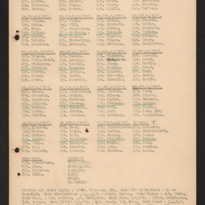
Operations order 27 September 1944
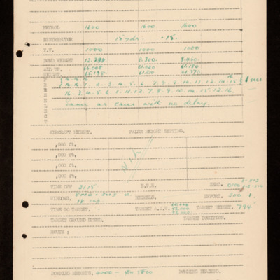
Bomb aimers briefing 27 September 1944 - Kaiserslautern.
Tags: aircrew; bomb aimer; bombing; briefing; Window
Operations order 26 September 1944
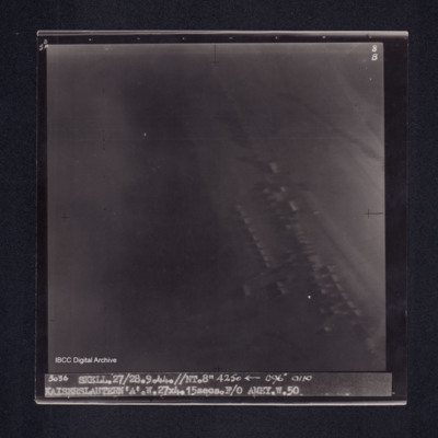
Kaiserslautern
Karlsruhe
Derrick Allen's flying log book for navigators, air bombers, air gunners, flight engineers
Tags: 1654 HCU; 17 OTU; 467 Squadron; 619 Squadron; air gunner; Air Gunnery School; aircrew; Anson; bale out; bombing; bombing of Dresden (13 - 15 February 1945); C-47; Heavy Conversion Unit; Initial Training Wing; Lancaster; Lancaster Finishing School; Lancaster Mk 1; Lancaster Mk 3; Operational Training Unit; RAF Blyton; RAF Bridgnorth; RAF Bridlington; RAF Cardington; RAF Pembrey; RAF Silverstone; RAF Spanhoe; RAF St Athan; RAF Strubby; RAF Syerston; RAF Waddington; RAF Wigsley; shot down; Stirling; training; Wellington
Colin Wood's Royal Canadian Air Force flying log book for aircrew other than pilot
Tags: 106 Squadron; 1661 HCU; 29 OTU; 83 Squadron; Advanced Flying Unit; aircrew; Anson; bombing; Cook’s tour; Dominie; H2S; Heavy Conversion Unit; Lancaster; Lancaster Finishing School; Lancaster Mk 1; Lancaster Mk 3; Lancastrian; navigator; Operation Dodge (1945); Operation Exodus (1945); Operational Training Unit; Pathfinders; RAF Bitteswell; RAF Bruntingthorpe; RAF Coningsby; RAF Full Sutton; RAF Metheringham; RAF Syerston; RAF Warboys; RAF West Freugh; RAF Winthorpe; Stirling; training; Wellington
Andy Anderson's flying log book for pilots (incomplete)
Tags: 106 Squadron; 1661 HCU; 29 OTU; 83 Squadron; aircrew; bombing; H2S; Heavy Conversion Unit; Lancaster; Lancaster Finishing School; Lancaster Mk 1; Lancaster Mk 3; mine laying; Operation Exodus (1945); Operational Training Unit; Pathfinders; pilot; RAF Bitteswell; RAF Bruntingthorpe; RAF Coningsby; RAF Metheringham; RAF Syerston; RAF Warboys; RAF Winthorpe; Stirling; training; Wellington
Donald Briggs' log book
Tags: 156 Squadron; 8 Group; aircrew; bombing; bombing of Dresden (13 - 15 February 1945); bombing of Luftwaffe night-fighter airfields (15 August 1944); flight engineer; Lancaster; Lancaster Mk 3; Normandy campaign (6 June – 21 August 1944); Pathfinders; RAF Upwood; tactical support for Normandy troops; V-1; V-weapon

