Browse Items (46 total)
- Temporal Coverage is exactly "1944-05-09"
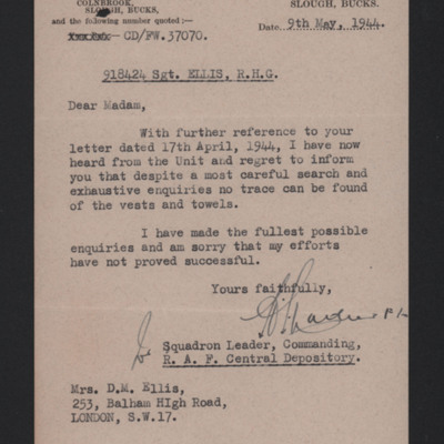
Letter to Mrs Doreen Ellis from the Central Depository
Tags: aircrew; missing in action
T Knox’s flying log book for flight engineers
Tags: 149 Squadron; 1657 HCU; 199 Squadron; aircrew; bombing; bombing of the Pas de Calais V-1 sites (24/25 June 1944); C-47; flight engineer; Halifax; Heavy Conversion Unit; Horsa; Lancaster; mine laying; Normandy campaign (6 June – 21 August 1944); RAF Aqir; RAF Cosford; RAF Finningley; RAF Lakenheath; RAF Methwold; RAF North Creake; RAF Ringway; RAF Sealand; RAF Stradishall; RAF Upper Heyford; Stirling; training
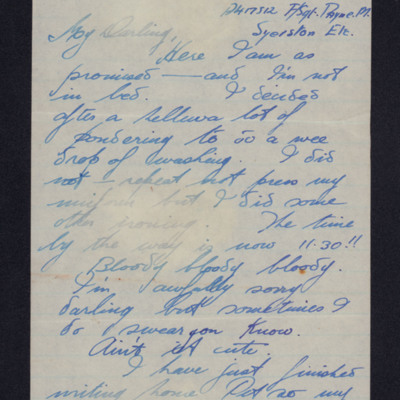
Letter from Herbert Adams to his mother
Henry Simpson’s RAF navigator’s, air bomber’s and air gunner’s flying log book
Tags: 166 Squadron; 1662 HCU; aircrew; bombing; Bombing of Mailly-le-Camp (3/4 May 1944); bombing of Nuremberg (30 / 31 March 1944); flight engineer; Halifax; Halifax Mk 2; Halifax Mk 5; Heavy Conversion Unit; Lancaster; Lancaster Mk 1; Lancaster Mk 3; missing in action; Normandy campaign (6 June – 21 August 1944); RAF Blyton; RAF Kirmington; training
Basil 'Harry' Harrington's flying log book
George Alexander Mackie’s pilots flying log book. Two
Tags: 11 OTU; 1651 HCU; 214 Squadron; aircrew; animal; arts and crafts; B-17; B-24; bombing; bombing of the Creil/St Leu d’Esserent V-1 storage areas (4/5 July 1944); C-47; Flying Training School; Heavy Conversion Unit; Initial Training Wing; military living conditions; mine laying; Normandy campaign (6 June – 21 August 1944); Operational Training Unit; Oxford; pilot; RAF Chedburgh; RAF Downham Market; RAF Nutts Corner; RAF Oulton; RAF Prestwick; RAF Sculthorpe; RAF Stoney Cross; RAF Tempsford; RAF Waterbeach; Stirling; training
Sam Saunders's flying log book
Tags: 128 Squadron; 15 OTU; 16 OTU; 216 Squadron; 38 Squadron; 40 Squadron; 627 Squadron; 692 Squadron; Air Observers School; aircrew; Anson; Battle; bombing; Bombing and Gunnery School; C-47; Hudson; mine laying; Mosquito; navigator; Operational Training Unit; Oxford; Proctor; RAF Graveley; RAF Harwell; RAF Hendon; RAF Marham; RAF Oakington; RAF Shallufa; RAF Upper Heyford; RAF Wyton; RCAF Rivers; Tiger Moth; training; Wellington
Flying Officer A F Thomas’ RAF navigator’s, air bomber’s and air gunner’s flying log book
Tags: 149 Squadron; 1651 HCU; 1665 HCU; 90 Squadron; aircrew; bombing; Cook’s tour; flight engineer; Heavy Conversion Unit; Lancaster; Lancaster Mk 1; Lancaster Mk 3; mine laying; Operation Dodge (1945); Operation Exodus (1945); Operation Manna (29 Apr – 8 May 1945); RAF Feltwell; RAF Methwold; RAF Stradishall; RAF Tuddenham; RAF Woolfox Lodge; RAF Wratting Common; Special Operations Executive; Stirling; training
Homer Lawson’s observer’s and air gunner’s flying log book
Tags: 10 Squadron; 1663 HCU; 19 OTU; 77 Squadron; Advanced Flying Unit; aircrew; Anson; anti-aircraft fire; bombing; bombing of the Normandy coastal batteries (5/6 June 1944); C-47; Cook’s tour; Halifax; Halifax Mk 3; Heavy Conversion Unit; Ju 88; mine laying; navigator; Normandy campaign (6 June – 21 August 1944); Operational Training Unit; RAF Full Sutton; RAF Kinloss; RAF Llandwrog; Raf Mauripur; RAF Melbourne; RAF Penrhos; RAF Rufforth; training; Wellington; Whitley
Peter Hazeldene's Log book
Tags: 106 Squadron; 14 OTU; 16 OTU; 1654 HCU; 57 Squadron; air gunner; aircrew; Anson; B-17; Battle; bombing; Bombing and Gunnery School; bombing of Cologne (30/31 May 1942); Bombing of Mailly-le-Camp (3/4 May 1944); bombing of the Normandy coastal batteries (5/6 June 1944); bombing of the Pas de Calais V-1 sites (24/25 June 1944); Hampden; Heavy Conversion Unit; Lancaster; Lancaster Finishing School; Lysander; mine laying; Normandy campaign (6 June – 21 August 1944); Operational Training Unit; Oxford; RAF Coningsby; RAF East Kirkby; RAF Finningley; RAF Husbands Bosworth; RAF Polebrook; RAF Syerston; RAF Upper Heyford; RAF West Freugh; RAF Wigsley; Stirling; tactical support for Normandy troops; training; Wellington; wireless operator / air gunner
Jim Allen’s Royal Canadian Air Force pilots flying log book
Tags: 15 OTU; 1663 HCU; 20 OTU; 578 Squadron; Advanced Flying Unit; aircrew; Anson; bombing; bombing of Luftwaffe night-fighter airfields (15 August 1944); bombing of the Pas de Calais V-1 sites (24/25 June 1944); Cook’s tour; Flying Training School; Halifax; Halifax Mk 2; Halifax Mk 3; Heavy Conversion Unit; Initial Training Wing; Normandy campaign (6 June – 21 August 1944); Operational Training Unit; Oxford; pilot; RAF Banff; RAF Bassingbourn; RAF Burn; RAF Harwell; RAF Hullavington; RAF Leconfield; RAF Lossiemouth; RAF Paignton; RAF Rufforth; RAF Stoney Cross; RAF Stradishall; RAF Wratting Common; RCAF Estevan; Stirling; tactical support for Normandy troops; Tiger Moth; training; V-1; V-3; V-weapon; Wellington; York
Ronald Mathers pilots flying log book. One
Tags: 1660 HCU; 1661 HCU; 17 OTU; 9 Squadron; Advanced Flying Unit; air gunner; aircrew; Anson; bomb aimer; bombing; Bombing of Mailly-le-Camp (3/4 May 1944); bombing of Nuremberg (30 / 31 March 1944); Flying Training School; Heavy Conversion Unit; Lancaster; navigator; Operational Training Unit; Oxford; pilot; RAF Bardney; RAF Castle Donington; RAF Morton Hall; RAF Shawbury; RAF Silverstone; RAF Swinderby; RAF Sywell; RAF Turweston; RAF Winthorpe; Stearman; Stirling; Tiger Moth; training; Wellington; wireless operator
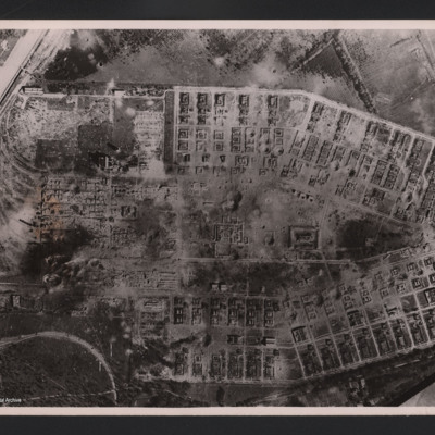
RAF attack on Salbris explosive works and depot
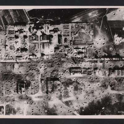
Tours airfield
On the reverse…
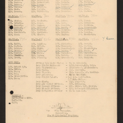
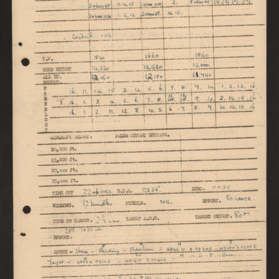
Operations order for 9 May 1944
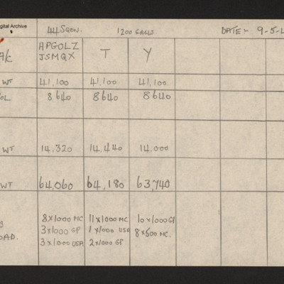
Weight table for all squadron aircraft 9 May 1944
Tags: 44 Squadron; bombing; bombing up; fuelling; RAF Dunholme Lodge
Bomb aimers briefing 9 May 1944
Tags: aircrew; bomb aimer; bombing; briefing; Master Bomber; Mosquito; target indicator; Window
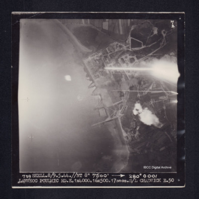
Lanveoc Poulmic
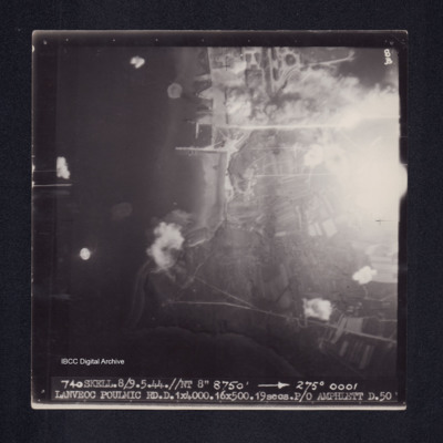
Lanveoc Poulmic
Harry Parkins' flight engineer log book
Tags: 148 Squadron; 1657 HCU; 199 Squadron; 50 Squadron; 576 Squadron; 630 Squadron; aircrew; Anson; bombing; bombing of Helgoland (18 April 1945); bombing of the Juvisy, Noisy-le-Sec and Le Bourget railways (18/19 April 1944); bombing of the Pas de Calais V-1 sites (24/25 June 1944); Bombing of Trossy St Maximin (3 August 1944); C-47; flight engineer; Heavy Conversion Unit; Ju 88; Lancaster; Lancaster Finishing School; Lincoln; mid-air collision; Normandy campaign (6 June – 21 August 1944); Operation Dodge (1945); Operation Manna (29 Apr – 8 May 1945); RAF East Kirkby; RAF Fiskerton; RAF Hemswell; RAF Scampton; RAF Shawbury; RAF Stradishall; RAF Sturgate; RAF Syerston; RAF Upwood; RAF Waddington; RAF Wigsley; Stirling; tactical support for Normandy troops; training; V-3; V-weapon

![EAdamsHGAdamsBHB[Mo]440509-0001.pdf EAdamsHGAdamsBHB[Mo]440509-0001.pdf](https://ibccdigitalarchive.lincoln.ac.uk/omeka/files/square_thumbnails/194/27207/EAdamsHGAdamsBHB[Mo]440509-0001.jpg)
