Browse Items (74 total)
- Spatial Coverage is exactly "Netherlands--Walcheren"
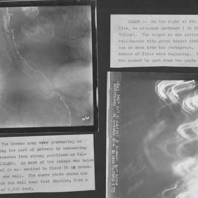
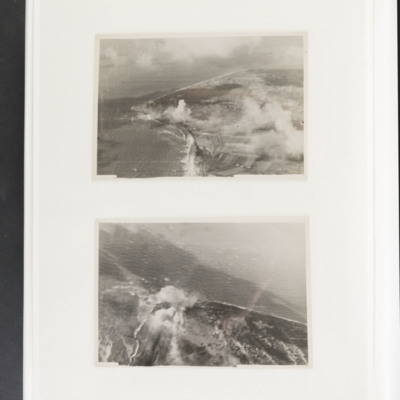
Westkapelle Dyke and Dortmund
Photo 1 is Westkapelle dyke which was bombed to flood Walchern Island, which was below sea level.
Photo 2 is a night attack on Dortmund, most of the image obscured by anti-aircraft fire and target indicators.
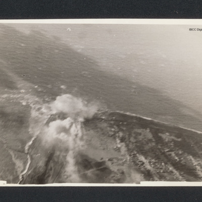
Westkapelle
Westkapelle
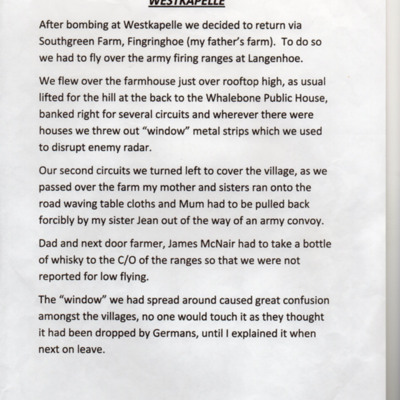
Tags: bombing; home front; Window
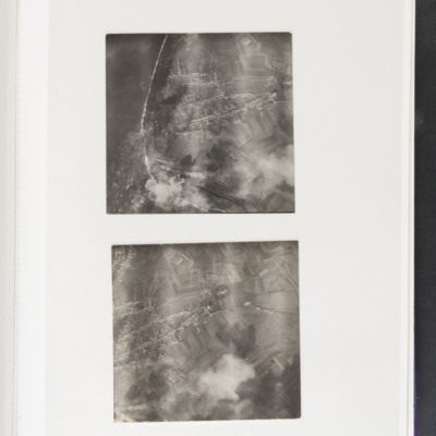
Westkapelle
Westkapelle
Tags: aerial photograph; bombing
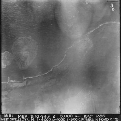
West Capelle Dyk N
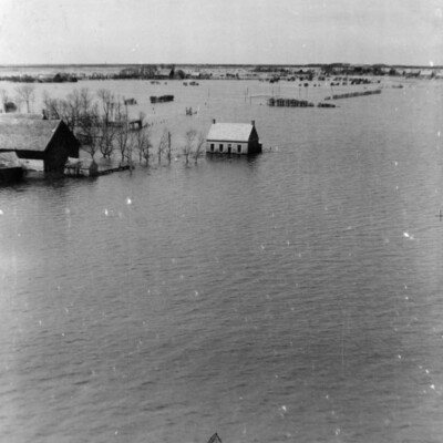
Walchern Floods
Tags: aerial photograph
Walcheren [place]
Walcheren
Tags: aerial photograph; bombing
V Group News, October 1944
Tags: 5 Group; 617 Squadron; 9 Squadron; air gunner; aircrew; bomb aimer; bombing; Distinguished Flying Cross; Distinguished Flying Medal; Distinguished Service Order; ditching; flight engineer; Gee; gremlin; H2S; Master Bomber; military living conditions; military service conditions; mine laying; navigator; Nissen hut; pilot; radar; rivalry; Tallboy; Tirpitz; training; wireless operator
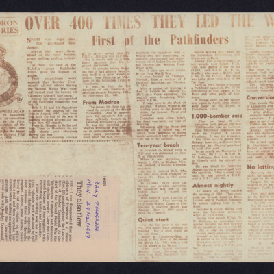
Two newspaper cuttings
Tags: 156 Squadron; 35 Squadron; 7 Squadron; 83 Squadron; bombing; bombing of Cologne (30/31 May 1942); Conspicuous Gallantry Medal; Distinguished Flying Cross; Distinguished Flying Medal; Distinguished Service Order; Halifax; Lancaster; Normandy campaign (6 June – 21 August 1944); Operation Exodus (1945); Operation Manna (29 Apr – 8 May 1945); Pathfinders; RAF Leeming; RAF Linton on Ouse; RAF Marham; Tirpitz; V-1; V-weapon
The Offensive Phase
Tags: 1 Group; 100 Group; 101 Squadron; 109 Squadron; 141 Squadron; 169 Squadron; 171 Squadron; 192 Squadron; 199 Squadron; 214 Squadron; 218 Squadron; 223 Squadron; 239 Squadron; 3 Group; 4 Group; 462 Squadron; 5 Group; 617 Squadron; 8 Group; aircrew; B-17; B-24; Beaufighter; Bennett, Donald Clifford Tyndall (1910-1986); Chamberlain, Neville (1869-1940); crash; Defiant; Do 217; Fw 190; Gee; Gneisenau; Goering, Hermann (1893-1946); H2S; Halifax; Halifax Mk 3; Hampden; Harris, Arthur Travers (1892-1984); He 111; Hitler, Adolf (1889-1945); Hudson; Ju 88; Lancaster; Me 110; Me 410; mine laying; Morse-keyed wireless telegraphy; Mosquito; navigator; Oboe; Operational Training Unit; P-51; Pathfinders; radar; RAF Defford; RAF Downham Market; RAF Farnborough; RAF Foulsham; RAF Little Snoring; RAF North Creake; RAF Northolt; RAF Oulton; RAF Prestwick; RAF Sculthorpe; RAF St Athan; RAF Swannington; RAF Tempsford; RAF Upper Heyford; RAF Uxbridge; RAF West Raynham; RAF Wittering; Scharnhorst; Stalin, Joseph (1878-1953); Stirling; Tirpitz; training; Typhoon; V-1; V-2; V-weapon; Wellington; Window
Terry Ford’s Royal Canadian Air Force pilot’s flying log book. One
Tags: 1653 HCU; 20 OTU; 75 Squadron; 84 OTU; Advanced Flying Unit; aircrew; Anson; bombing; Flying Training School; Harvard; Heavy Conversion Unit; Initial Training Wing; Lancaster; Lancaster Finishing School; Lancaster Mk 1; Lancaster Mk 3; mine laying; Operational Training Unit; Oxford; pilot; RAF Chedburgh; RAF Dalcross; RAF Desford; RAF Feltwell; RAF Filton; RAF Lossiemouth; RAF Lyneham; RAF Mepal; Stirling; Tiger Moth; training; Wellington; York
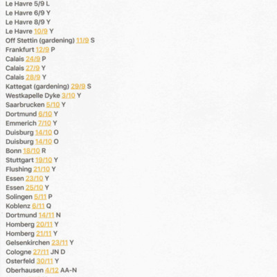
Summary of Terry Ford's Operations
Tags: 75 Squadron; bombing
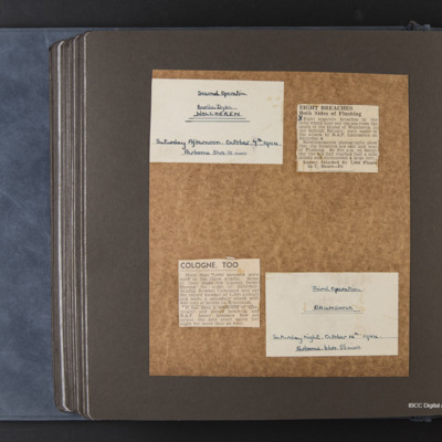
Second and third operations, Walcheren and Brunswick
Tags: bombing
Reginald Weeden's Royal Canadian Air Force flying log book for aircrew other than pilot
Tags: 1653 HCU; 35 Squadron; 75 Squadron; 84 OTU; Advanced Flying Unit; Air Observers School; aircrew; Anson; bombing; C-47; Cook’s tour; Goodwill tour of the United States (1946); Heavy Conversion Unit; Lancaster; Lancaster Finishing School; Lincoln; navigator; Operational Training Unit; Proctor; RAF Chedburgh; RAF Desborough; RAF Feltwell; RAF Graveley; RAF Llandwrog; RAF Mepal; RAF Stradishall; Stirling; training; Wellington; York
Reg Woolgar's observer's and air gunner's flying log book
Tags: 16 OTU; 192 Squadron; 49 Squadron; air gunner; Air Gunnery School; aircrew; Anson; B-17; Battle; bombing; bombing of the Creil/St Leu d’Esserent V-1 storage areas (4/5 July 1944); C-47; Cook’s tour; crash; ditching; Dominie; Halifax; Halifax Mk 3; Hampden; Hudson; Lancaster; Lancaster Mk 1; Lancaster Mk 3; Manchester; Martinet; mine laying; Normandy campaign (6 June – 21 August 1944); Operational Training Unit; Oxford; RAF Barrow in Furness; RAF Foulsham; RAF Fulbeck; RAF Manby; RAF Peterborough; RAF Scampton; RAF Sutton Bridge; RAF Upper Heyford; RAF West Freugh; RAF Wigsley; RAF Yatesbury; Tiger Moth; training; Wellington; Whitley; wireless operator / air gunner; York
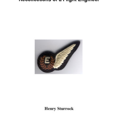
Recollections of a Flight Engineer
He also recounts…
Ray Wells' Pilot’s, Air Bomber’s and Air Gunner’s Flying Log Book
Tags: 158 Squadron; 1658 HCU; aircrew; bombing; bombing of Luftwaffe night-fighter airfields (15 August 1944); bombing of the Pas de Calais V-1 sites (24/25 June 1944); flight engineer; Halifax; Halifax Mk 2; Halifax Mk 3; Heavy Conversion Unit; Normandy campaign (6 June – 21 August 1944); RAF Leconfield; RAF Lissett; RAF Riccall; tactical support for Normandy troops; training
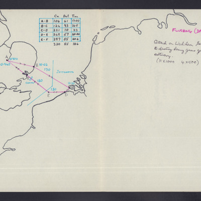
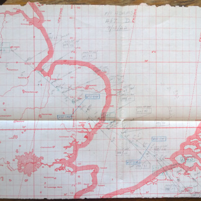
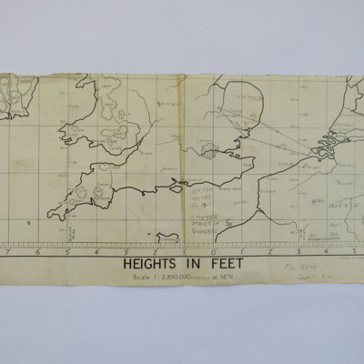
Plotting map and logs for an operation to Walcheren
This item was sent to the IBCC Digital Archive already in digital form. No better quality copies are available.
Tags: 467 Squadron; bombing; Lancaster; RAF Waddington
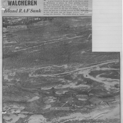
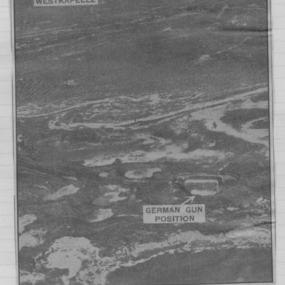
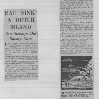
Newspaper cutting - Walcheren, Island RAF sunk
Tags: bombing
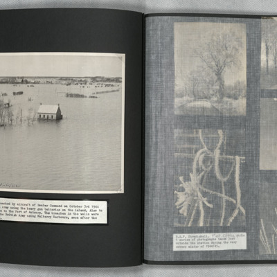
Newspaper cutting - the great flood
Tags: bombing

