Browse Items (13 total)
- Spatial Coverage is exactly "Montenegro"
Sort by:
P H Gaunt’s pilots flying log book. Two.
Pilots flying log book for P H Gaunt, pilot, covering the period from 20 October 1944 to 21 June 1952. Detailing his operations flown and post war flying at 69 reserve centre and 7 reserve flying school. He was stationed at RAF Foggia and RAF…
Tags: 37 Squadron; 70 Squadron; aircrew; Anson; bombing; Hampden; pilot; RAF Desford; Tiger Moth; Wellington
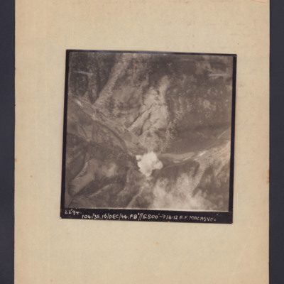
Macasvo
Target photograph showing open countryside with a bomb explosion centre bottom in a valley. Captioned '2294, 104/35, 16/Dec/44, F8, 5500 ft,→14.12, A.F. Macasvo'.
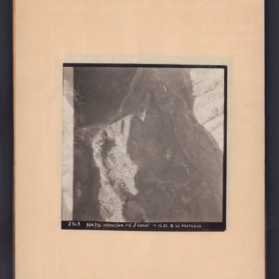
Matsevo
Target photograph of open country with road snaking middle left to top right then to bottom right. Captioned '2363, 104/38, 19/Dec/44, F8, 6000 ft, →5121, B.W.Matsevo'.
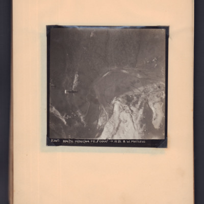
Matsevo
Target photograph showing open countryside. A supply container is visible in mid air on the left hand side, a road snakes from bottom left to centre right. Captioned '2360, 104/38, 19 Dec 44, F8, 6000 ft, →1521, B W Matsevo'.
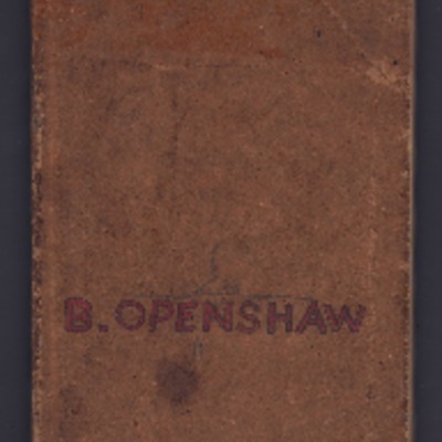
B Openshaw sight log book
Record of training navigation star and sun sights from ground and air between April 1943 and February 1944. Locations April to July 1943 at 24 bombing gunnery and navigation school at Moffat Southern Rhodesia on Anson aircraft. December 1943 at No 23…
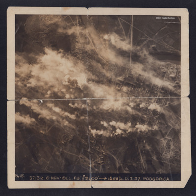
Podgorica
A target photograph taken during an operation to Podgorica. Half of the image is obscured by explosions and smoke. The river and the grid pattern of streets and buildings can be clearly seen. On the reverse is captioned 'With compliments from 336…
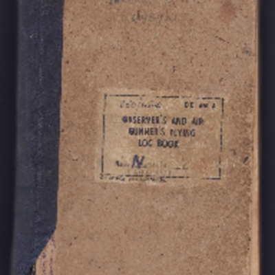
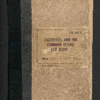
Ted Neale's observer’s and air gunner’s flying log book
Observer’s and air gunner’s flying log book for E T H Neale, navigator, covering the period from 25 August 1943 to 16 October 1945. Detailing his flying training, operations flown, wartime and post war flying duties. He was stationed at SAAF Port…
Tags: 37 Squadron; aircrew; Anson; bombing; Defiant; Hudson; navigator; training; Wellington
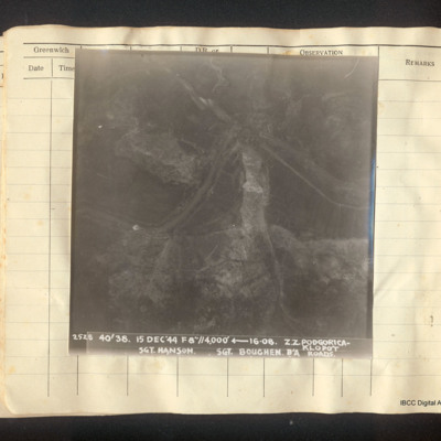
Podgorica-Klopot roads
Vertical aerial photograph of the roads between Podgorica and Klopot. A river meanders across the centre, round a rock ridge. It is followed in part by a road. Captioned '2528 40/38 15 Dec '44 f8"//4,000' [arrow] 16.08 Z.Z Podgorica-Klopot Roads Sgt…
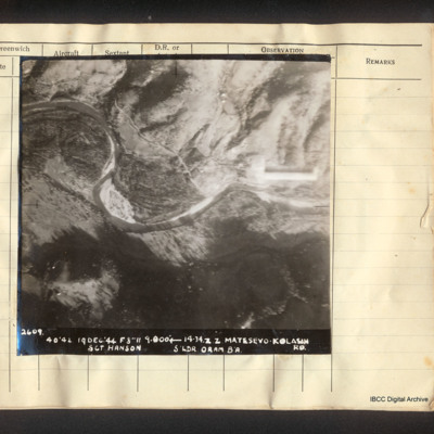
Matesevo-Kolasin road
Vertical aerial photograph of Matesevo-Kolasin Road. The Tapa river meanders through the centre of the image. Adjacent is flatter land but to the top and bottom are hills. A road partly follows the river. Captioned '2609. 40/42 19 Dec '44 F8 // 9000'…
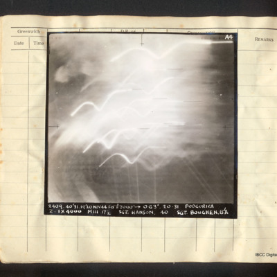
Podgorica
Vertical aerial photograph of Podgorica, obscured by explosions and tracer. It is captioned 'A4 2409 40/31 19/20 Nov 44 F8"//7000' [arrow] 063°. 20.31 Podgorica Z. 1x4000 MIII 17 1/2 Sgt. Hanson 40 Sgt Boughen. B/A'
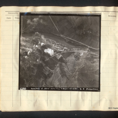
Podgorica
Vertical aerial photograph of Podgorica. The image is very clear apart from explosions and fires on the left side, a mainly industrial area. A river flows left to right with a road bridge and several roads. Captioned '22.30 40/22. 6. Nov '44…
William George Briley's observer's and air gunner's flying log book
Observers and air gunners flying log book for Wiliam George Briley, covering the period from 2 December 1943 to 24 November 1945. Detailing his flying training, operations flown and communication flight duties. He was stationed at, East London, RAF…

