Browse Items (43 total)
- Spatial Coverage is exactly "Germany--Koblenz"
Allied bombers shot down by FW Gunther Bahr
Archie Henry Halliday's navigators, air bombers, air gunners and flight engineers flying log book
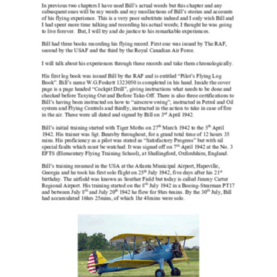
Bill Foskett Biography Chapter Three
The first two chapters used Bill's words but the third is written by an anonymous friend.
Tags: 100 Group; 15 OTU; 214 Squadron; 617 Squadron; Absent Without Leave; Advanced Flying Unit; air gunner; aircrew; Anson; anti-aircraft fire; B-17; Battle; Bolingbroke; bomb aimer; Bombing and Gunnery School; bombing of Cologne (30/31 May 1942); flight engineer; Flying Training School; Gee; H2S; Halifax; Harris, Arthur Travers (1892-1984); Harvard; Initial Training Wing; Ju 88; lack of moral fibre; Lancaster; Me 110; mine laying; Mosquito; navigator; Normandy campaign (6 June – 21 August 1944); Operational Training Unit; Pathfinders; RAF Chedburgh; RAF Downham Market; RAF Feltwell; RAF Harwell; RAF Honington; RAF Methwold; RAF Millom; RAF Oulton; RAF Ridgewell; RAF Sculthorpe; RAF Shipdham; RAF Stradishall; RAF Woodbridge; Stearman; Stirling; superstition; Tallboy; target indicator; Tiger Moth; training; V-2; V-weapon; Wellington; Window; wireless operator
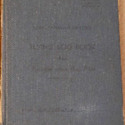
Bill Foskett’s Royal Canadian Air Force Flying Log Book for Aircrew other than Pilot (Log Book 3)
Tags: 15 OTU; 1657 HCU; 214 Squadron; Advanced Flying Unit; air gunner; Air Observers School; aircrew; Anson; B-17; Battle; Bolingbroke; bomb aimer; bombing; Bombing and Gunnery School; Heavy Conversion Unit; navigator; Normandy campaign (6 June – 21 August 1944); RAF Harwell; RAF Millom; RAF Sculthorpe; Stirling; training; Wellington; Window
Charlie Darby’s observer's and air gunner's flying log book
Tags: 1658 HCU; 21 OTU; 462 Squadron; 466 Squadron; air gunner; Air Gunnery School; aircrew; Anson; anti-aircraft fire; bombing; Halifax; Halifax Mk 2; Halifax Mk 3; Heavy Conversion Unit; Me 109; Operational Training Unit; Pathfinders; RAF Castle Kennedy; RAF Driffield; RAF Moreton in the Marsh; RAF Riccall; searchlight; training; V-1; V-weapon; Wellington
Coblenz
D E Crampin's Royal Air Force navigator’s, air bomber’s and air gunner’s flying log book
Tags: 1659 HCU; 21 OTU; 78 Squadron; Advanced Flying Unit; Air Gunnery School; aircrew; Anson; bombing; C-47; Cook’s tour; Halifax; Heavy Conversion Unit; Operational Training Unit; Proctor; RAF Aqir; RAF Breighton; RAF Dishforth; RAF Evanton; RAF Millom; RAF Moreton in the Marsh; RAF Swanton Morley; RAF Topcliffe; RAF Yatesbury; training; Wellington; wireless operator; York
Donald Briggs' log book
Tags: 156 Squadron; 8 Group; aircrew; bombing; bombing of Dresden (13 - 15 February 1945); bombing of Luftwaffe night-fighter airfields (15 August 1944); flight engineer; Lancaster; Lancaster Mk 3; Normandy campaign (6 June – 21 August 1944); Pathfinders; RAF Upwood; tactical support for Normandy troops; V-1; V-weapon
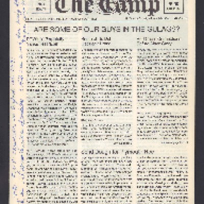
Ex-RCAF The Camp Jan 1990
Tags: 10 Squadron; 214 Squadron; 4 Group; 40 Squadron; 405 Squadron; 408 Squadron; 415 Squadron; 419 Squadron; 420 Squadron; 424 Squadron; 425 Squadron; 426 Squadron; 427 Squadron; 428 Squadron; 429 Squadron; 431 Squadron; 432 Squadron; 433 Squadron; 434 Squadron; 6 Group; air gunner; aircrew; B-17; bale out; Beaufighter; Bennett, Donald Clifford Tyndall (1910-1986); bomb aimer; Caterpillar Club; Conspicuous Gallantry Medal; crash; Distinguished Flying Cross; Distinguished Service Order; Dulag Luft; escaping; Goering, Hermann (1893-1946); Halifax; Hitler, Adolf (1889-1945); Hurricane; Lancaster; Me 110; memorial; Military Cross; navigator; Operational Training Unit; P-51; Pathfinders; prisoner of war; RAF Alconbury; RAF Biggin Hill; RAF Digby; RAF Hendon; RAF St Eval; Red Cross; Spitfire; Stalag 3A; Stalag Luft 3; Stalag Luft 4; Stirling; strafing; training; Typhoon; Victoria Cross; Wellington; Whitley
F Dray’s flying log book for navigators, air bombers, air gunners, flight engineers
Tags: 1667 HCU; 30 OTU; 576 Squadron; air gunner; Air Gunnery School; aircrew; Anson; bombing; bombing of Dresden (13 - 15 February 1945); bombing of Helgoland (18 April 1945); Halifax; Heavy Conversion Unit; Lancaster; Lancaster Finishing School; Operational Training Unit; RAF Bishops Court; RAF Fiskerton; RAF Hemswell; RAF Hixon; RAF Ingham; RAF Sandtoft; training; Wellington
Gerald McPherson air gunner's flying log book
Tags: 15 Squadron; 1651 HCU; 1657 HCU; 17 OTU; 186 Squadron; air gunner; aircrew; Battle; Bombing and Gunnery School; bombing of Dresden (13 - 15 February 1945); Heavy Conversion Unit; Lancaster; Lancaster Finishing School; Operational Training Unit; Oxford; RAF Feltwell; RAF Mildenhall; RAF Shepherds Grove; RAF Silverstone; RAF Stradishall; RAF Tuddenham; RAF Turweston; RAF Wratting Common; Stirling; training; Wellington
Gordon Mercier's navigators, air bombers and air gunners flying log book
Tags: 10 OTU; 1652 HCU; 1658 HCU; 171 Squadron; 51 Squadron; 78 Squadron; air gunner; Air Gunnery School; aircrew; Anson; bombing of Luftwaffe night-fighter airfields (15 August 1944); Fw 190; Halifax; Halifax Mk 3; Heavy Conversion Unit; Normandy campaign (6 June – 21 August 1944); Operational Training Unit; RAF Abingdon; RAF Breighton; RAF Marston Moor; RAF North Creake; RAF Riccall; RAF Snaith; tactical support for Normandy troops; training; Whitley
Halifax III - Evidence of Collision
Tags: 10 Squadron; 158 Squadron; 4 Group; 424 Squadron; 426 Squadron; 432 Squadron; 434 Squadron; 51 Squadron; 578 Squadron; 6 Group; aircrew; bale out; bomb aimer; crash; flight engineer; Halifax; Halifax Mk 3; Ju 88; killed in action; Me 109; mid-air collision; navigator; pilot; RAF Croft; RAF Snaith; wireless operator
Harold Dryhurst Service biography
Hastie DFC: The Life and Times of a Wartime Pilot
Tags: 1 Group; 100 Group; 101 Squadron; 157 Squadron; 2 Group; 214 Squadron; 223 Squadron; 3 Group; 4 Group; 6 Group; 8 Group; 85 Squadron; 88 Squadron; air gunner; aircrew; anti-aircraft fire; B-17; B-24; B-25; bale out; Beaufighter; Bismarck; Botha; C-47; Chamberlain, Neville (1869-1940); Churchill, Winston (1874-1965); crash; crewing up; Distinguished Flying Cross; entertainment; evacuation; Flying Training School; Gee; Gneisenau; Goldfish Club; ground personnel; H2S; Halifax; Harris, Arthur Travers (1892-1984); Harvard; He 111; Heavy Conversion Unit; Hitler, Adolf (1889-1945); Hudson; Hurricane; Initial Training Wing; Ju 88; Lancaster; love and romance; Martinet; Me 109; Me 110; mine laying; Mosquito; Mussolini, Benito (1883-1945); navigator; Nissen hut; Oboe; Operational Training Unit; Oxford; Pathfinders; pilot; Proctor; radar; RAF Banff; RAF Catfoss; RAF Catterick; RAF Chedburgh; RAF Cranwell; RAF Dishforth; RAF Farnborough; RAF Horsham St Faith; RAF Kinloss; RAF Leuchars; RAF Lichfield; RAF Lyneham; RAF Manston; RAF North Coates; RAF Oulton; RAF Padgate; RAF Prestwick; RAF Riccall; RAF Silloth; RAF South Cerney; RAF St Eval; RAF Thornaby; RAF Thorney Island; RAF Windrush; RAF Woodbridge; Roosevelt, Franklin Delano (1882-1945); Scharnhorst; Spitfire; sport; Stirling; Swordfish; Tiger Moth; Tirpitz; training; V-1; V-2; V-weapon; Whitley; Window; wireless operator; Women’s Auxiliary Air Force
Interview with Thomas Charles Arthur Long
Tags: 75 Squadron; aircrew; anti-aircraft fire; bombing; Bombing and Gunnery School; Churchill, Winston (1874-1965); civil defence; crewing up; demobilisation; Home Guard; Initial Training Wing; Lancaster; Lancastrian; military ethos; military service conditions; mine laying; navigator; observer; propaganda; RAF Halfpenny Green; RAF Mepal; RCAF Moncton; recruitment; training
J F Latimer’s Royal Canadian Air Force Flying Log Book for Aircrew other than Pilot
Tags: 100 Group; 102 Squadron; 1652 HCU; 21 OTU; 462 Squadron; Advanced Flying Unit; Air Observers School; aircrew; Anson; Bolingbroke; bomb aimer; bombing; Bombing and Gunnery School; bombing of Luftwaffe night-fighter airfields (15 August 1944); Halifax; Halifax Mk 3; Heavy Conversion Unit; Normandy campaign (6 June – 21 August 1944); Operational Training Unit; RAF Driffield; RAF Foulsham; RAF Marston Moor; RAF Mona; RAF Moreton in the Marsh; RAF Pocklington; RCAF Fingal; tactical support for Normandy troops; training; Wellington
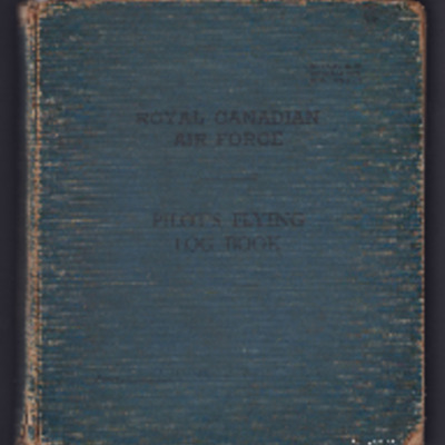
J W Quine’s Royal Canadian Air Force pilots flying log book
Tags: 1656 HCU; 170 Squadron; 582 Squadron; 83 OTU; Advanced Flying Unit; aircrew; Anson; anti-aircraft fire; bombing; C-47; Cook’s tour; Cornell; Flying Training School; Halifax; Halifax Mk 2; Heavy Conversion Unit; Lancaster; Lancaster Mk 1; Lancaster Mk 3; Mosquito; Operation Dodge (1945); Operation Exodus (1945); Operation Manna (29 Apr – 8 May 1945); Operational Training Unit; Oxford; Pathfinders; pilot; RAF Desborough; RAF Dunkeswell; RAF Hemswell; RAF Lindholme; RAF Little Rissington; RAF Little Staughton; RAF Talbenny; RAF Warboys; Tiger Moth; training; Wellington
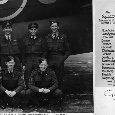
Jim Eley and Crew
Annotated 'Good Luck!…
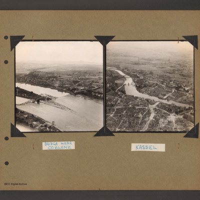
Kassel and a Bridge near Coblenz
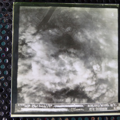
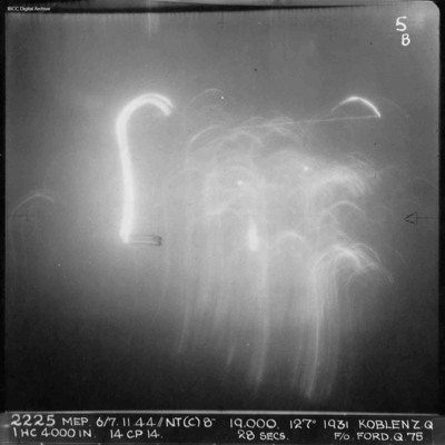
Koblenz
Koblenz
Koblenz - Marshalling Yards
Tags: 514 Squadron; aircrew; bombing; Lancaster; navigator; RAF Waterbeach
Koblenz [place]
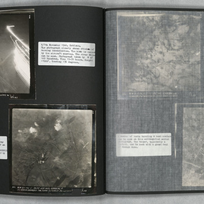
Koblenz and Homberg
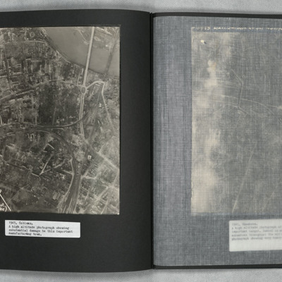
Photo 2 is a vertical aerial photograph of Homberg. The image is very clear with only a few explosions hiding the detail.

