Browse Items (3514 total)
- Spatial Coverage is exactly "Germany"
William George Drinkell's Royal Canadian Air Force pilot's flying log book. One
Tags: 14 OTU; 1654 HCU; 18 OTU; 50 Squadron; Advanced Flying Unit; aircrew; Anson; bomb struck; bombing; C-47; Catalina; Commodore; Distinguished Flying Cross; Flying Training School; Fw 190; Gibson, Guy Penrose (1918-1944); Harvard; Heavy Conversion Unit; Initial Training Wing; Ju 88; Lancaster; Lancaster Finishing School; Operation Exodus (1945); Operational Training Unit; Oxford; pilot; RAF Castle Donington; RAF Little Rissington; RAF Market Harborough; RAF Skellingthorpe; RAF Syerston; RAF Wigsley; RAF Wymeswold; RCAF Moncton; Stearman; Stirling; Sunderland; Tiger Moth; training; Wellington; York
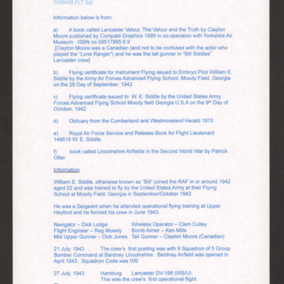
William Elliot Siddle
Tags: 83 Squadron; 9 Squadron; aircrew; bombing of Hamburg (24-31 July 1943); bombing of Kassel (22/23 October 1943); bombing of the Normandy coastal batteries (5/6 June 1944); Distinguished Flying Cross; Lancaster; Normandy campaign (6 June – 21 August 1944); Operational Training Unit; Pathfinders; pilot; RAF Bardney; RAF Coningsby; RAF Upper Heyford; RAF Upwood; RAF Wyton; tactical support for Normandy troops; training
William Daymont's flying log book for navigators, air bombers, air gunners, flight engineers
Tags: 100 Squadron; 1662 HCU; 466 Squadron; aircrew; bale out; bombing of Dresden (13 - 15 February 1945); bombing of Helgoland (18 April 1945); flight engineer; Halifax; Halifax Mk 2; Halifax Mk 5; Heavy Conversion Unit; Lancaster; Lancaster Finishing School; Lancaster Mk 1; Lancaster Mk 3; Operation Exodus (1945); Operation Manna (29 Apr – 8 May 1945); RAF Driffield; RAF Elsham Wolds; RAF Grimsby; RAF Hemswell; RAF St Athan; training
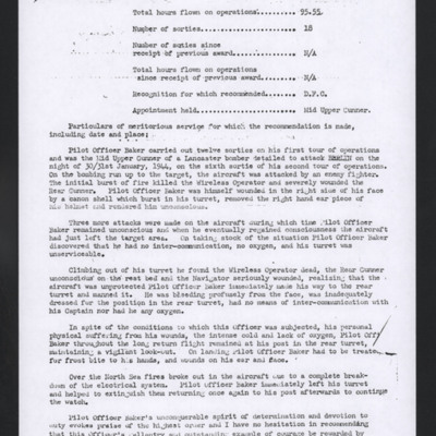
William Baker recommendation for award of Distinguished Flying Cross
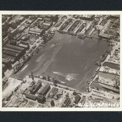
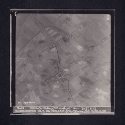
Wilhelmshaven docks
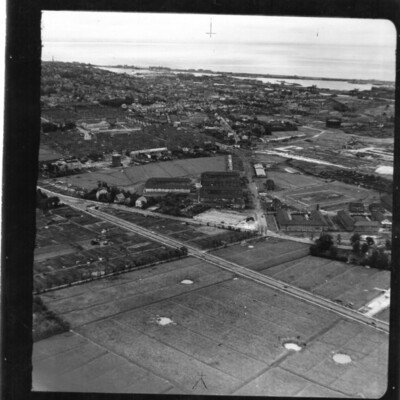
Wilhelmshaven
Identification kindly provided by Andrew…
Tags: aerial photograph
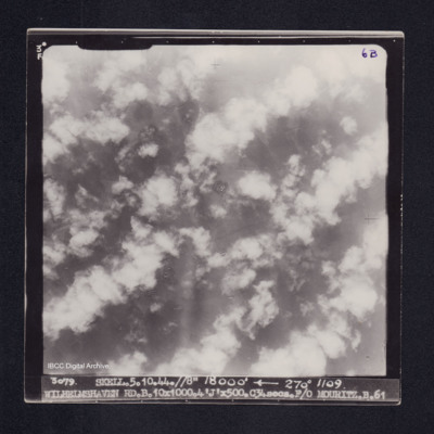
Wilhelmshaven
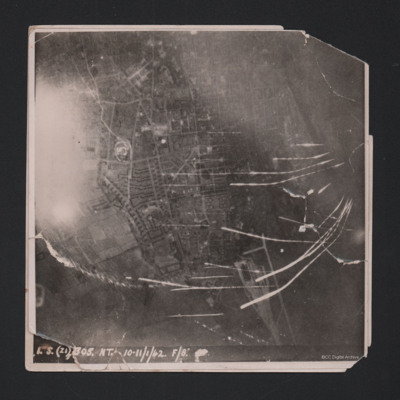
Wilhelmshaven
Wilhelmshaven
Wilhelmine K
Wilhelm Galenbeck and Karl Bunge
Wilhelm Carl
Wiesbaden (Mainz) Communications
Tags: 514 Squadron; aircrew; bombing; Lancaster; navigator; RAF Waterbeach
Wiegel, Heinz
Wickenrode, Karl L
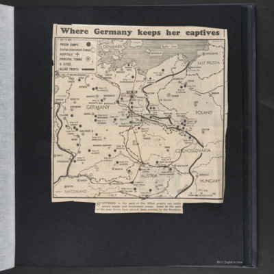
Where Germany keeps her captives
Tags: prisoner of war
What's in a name?
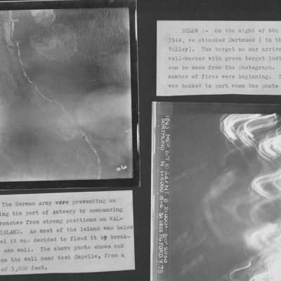
Westkapelle Dyke and Dortmund
Photo 1 is Westkapelle dyke which was bombed to flood Walchern Island, which was below sea level.
Photo 2 is a night attack on Dortmund, most of the image obscured by anti-aircraft fire and target indicators.
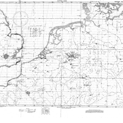
Western Germany Chart
Tags: bombing
West Essen
This is West Essen, the photo is taken…
Tags: aerial photograph; bombing; Cook’s tour
Wesel Cooks tour
Tags: aerial photograph; bombing; Cook’s tour
Wesel Bomb damage
Tags: aerial photograph; bombing; Cook’s tour
Wesel and Essen
Wesel
Wesel
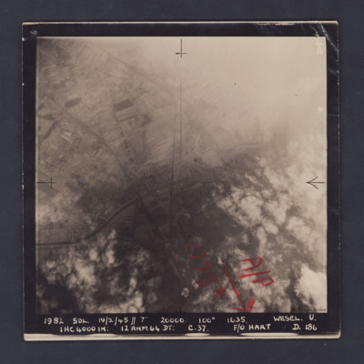
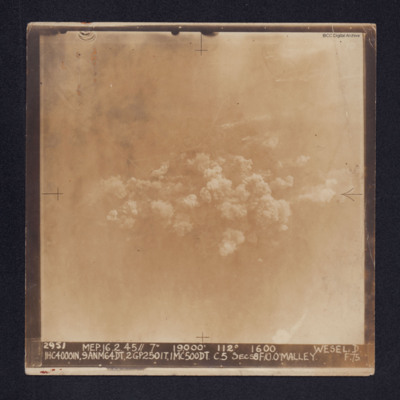
It is captioned: "2952 MEP. 16.2.45//7" 19,000' 112º 1600 WESEL.…

