Browse Items (56 total)

  • Spatial Coverage is exactly "France--Saint-Omer (Pas-de-Calais)"

SKingEJ182986v10093.jpg
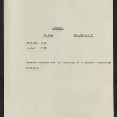
Six items, Edward's very brief description of the operation, his navigation plot, the expected H2S return over the target. Two press clipping, captioned 'The result of Bomber Commands 12,000 lb bomb attacks on one of the Enemy's V.2 rocket sites'.…

MCheshireGL72021-181210-050007.jpg
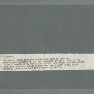
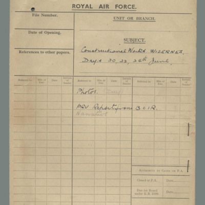
Note 'WIZERNES, THE WHOLE TARGET AREA NOW APPEARS ONE MASS OF CRATERS. REPAIRS ARE POSSIBLY IN POXXXXXX PROGRESS ON THE W. SIDE OF THE "DOME" SHAPED UNIT. THE RAILWAY LINES AND OTHER ROAD APPROACHES HAVE BEEN SEVERED IN MANY PLACES. THE WHOLE AREA IN…

MCheshireGL72021-181210-050008.jpg
Sequence of six target photographs taken from the same aircraft at intervals during drop of tallboy. In the first image the bomb is visible in the bottom left quadrant, slightly further to the right in the second and in the third. The town bottom…

MCheshireGL72021-181210-050022.jpg
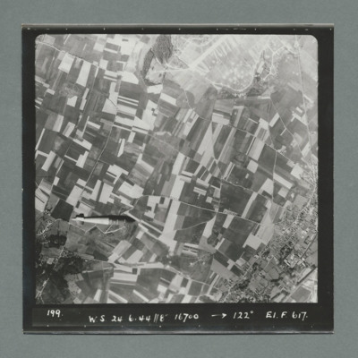
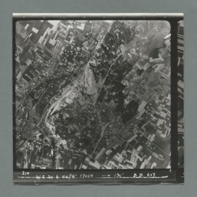
Sequence of two target photographs taken at intervals from the same aircraft. Shows open countryside with fields. In the centre of first image is an area with a large number of craters. This area is on the left in the second image. Caption 'sequence…

MCheshireGL72021-181210-050026.jpg
Sequence of two target photographs taken at intervals from the same aircraft. Showing open countryside with fields. The is an area with large number of craters just left of centre of first image which moves to upper left in the second. Caption…

MCheshireGL72021-181210-050030.jpg
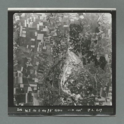
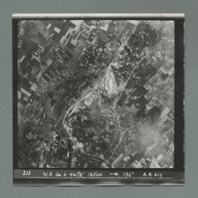
Target photograph showing open countryside with fields and roads. In the centre an area with a large number of craters. Caption '213, W.S, 24.6.44, 8", 16500, 136 degrees, A., A., 617'. On the reverse '51:96/14'.

MCheshireGL72021-181210-050032.jpg
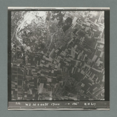
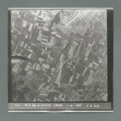
Target photograph showing open countryside with fields and roads. In the top left an are with large number of craters. Caption '216, W.S., 24.6.44, 8", 17000, 136 degrees, H., H., 617'. On the reverse '51:06/15'.

MCheshireGL72021-181210-050034.jpg
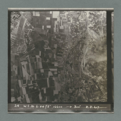
Sequence of two target photographs taken at intervals from the same aircraft. Show open countryside with fields and roads. Large area with many craters top left in first image moving to centre in second. Caption 'sequence number, W.S., 24.6.44, 8",…

MCheshireGL72021-181210-050038.jpg
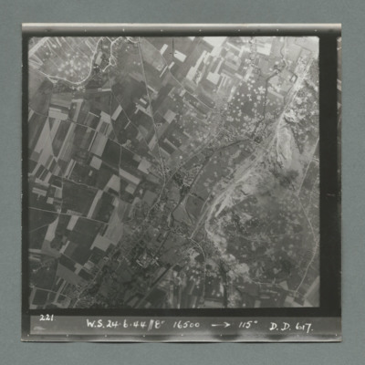
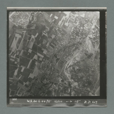
Target photograph showing open countryside with fields and roads. Bottom right quadrant is a large area with many craters. Caption '221, W.S., 24.6.44, 8", 16500, 115 degrees, D., D., 617'. On the reverse '51:96/18'.

MCheshireGL72021-181210-050038.jpg
Target photograph showing open countryside with fields and roads. Bottom right quadrant is a large area with many craters. Caption '221, W.S., 24.6.44, 8", 16500, 115 degrees, D., D., 617'. On the reverse '51:96/18'.

MCheshireGL72021-181210-050040.jpg
Sequence of five target photographs taken at intervals from the same aircraft. All show open countryside with fields and roads. The nose of the bomb is visible on left edge centre in first image and further right in the second. A large area with many…

MCheshireGL72021-181210-050050.jpg
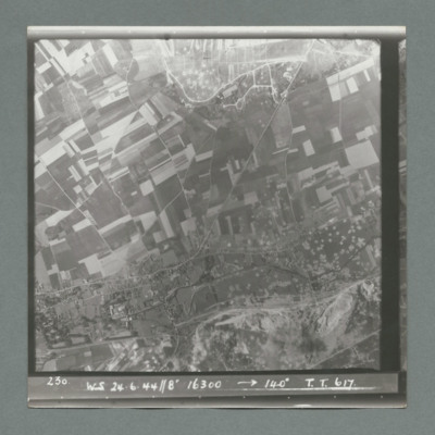
Target photograph showing open countryside with fields and roads. Centre right is a large area with many craters. Caption '230, WS, 24.6.44, 8", 16300, 140 degrees, T., T., 617'. On the reverse '51:96/24'.

MCheshireGL72021-181210-050052.jpg
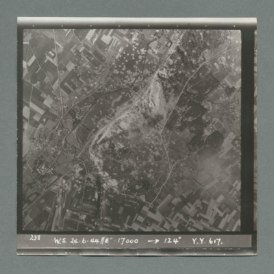
Target photograph showing open countryside with fields and roads. In the centre a large area with many craters. Caption '238, W.S., 24.6.44, 8", 17000, 124 degrees, Y., Y., 617'. On the reverse '51:96/25'.

MCheshireGL72021-181210-050054.jpg
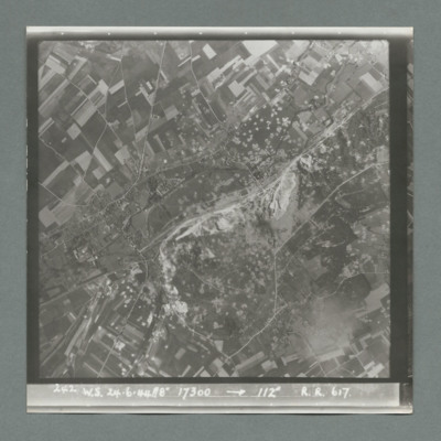
Target photograph showing open countryside with fields and roads. In the centre is a large area with many craters. Caption '242, W.S., 24.6.44, 8", 17300, 1`12 degrees, R., R., 617'. On the reverse '51:96/26'.

MCheshireGL72021-181210-050056.jpg
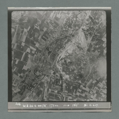
Target photograph showing open countryside with fields and roads. In the centre a large area with many craters. Caption '246, W.S., 24.6.44, 8", 17200, 150 degrees, B1, O, 617'. On the reverse '51:96/28'.

MSiddleWE1038438-151208-030001.jpg
Bill Siddle's time in the RAF pieced together by research. He was a pilot who flew the Lancaster with 9 and 83 Squadrons. He was commissioned in 1944, was awarded the DFC and Bar and completed more than 60 operations. He left the service in 1946 and…

S102SqnRAF19170809v30007.pdf
Covers period 28 January 1944 to 4 February 1944. Lists units for long range bombers, long range recce, fighter bomber, twin engine fighters, tactical recce and coastal. Followed by short note of disposition of fighters on western front. Follows a…

SWeirG19660703v110004-0010.jpg
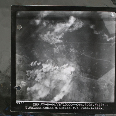
Target photograph showing forest area in top half with smoke from bomb explosions. Many craters are visible in this wooded area. Cleared area where tracks converge in this wooded area top centre, just edged by clouds. Bunker itself is just below and…

MFoskettW1323050-230609-09.pdf
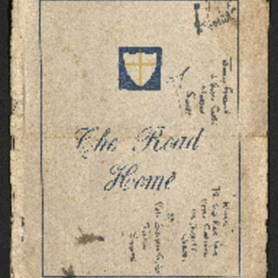
Notes for soldiers and airmen returning home by road. It details the towns that they will pass through, starting at Villach in Austria and ends in Calais. There is a map of the route.
On the last page the times of departure and arrival are recorded.

PBanksP15010086.jpg
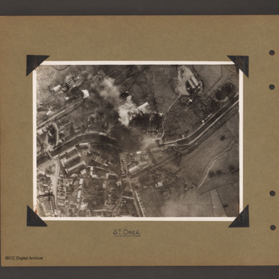
Aerial vertical photograph of a canal and town. A canal meanders from mid left to right. There is a road bridge on the left side leading to an industrial area and town below the canal. A railway runs from just above the canal on the left to top…

This page is an entry point for a place. This entry is also used for Wizernes; La Coupole. Please use the links below to see all relevant documents available in the Archive.
Output Formats

atom, dc-rdf, dcmes-xml, json, omeka-xml, rss2