Browse Items (43 total)
- Spatial Coverage is exactly "France--Rouen"
E J Haddow’s navigator’s air bomber’s and air gunner’s flying log book
Tags: 115 Squadron; 1651 HCU; 1678 HCU; 17 OTU; aircrew; bombing; bombing of Nuremberg (30 / 31 March 1944); bombing of the Le Havre E-boat pens (14/15 June 1944); flight engineer; Heavy Conversion Unit; Lancaster; Normandy campaign (6 June – 21 August 1944); Operational Training Unit; RAF Dunkeswell; RAF Silverstone; RAF Talbenny; RAF Waterbeach; RAF Witchford; RAF Wratting Common; Stirling; training; Wellington
F A Robinson’s flying log book for pilots. One
Tags: 543 Squadron; aircrew; Anson; Blenheim; bombing; Flying Training School; Gneisenau; gremlin; Harvard; Lysander; Magister; Meteor; Operational Training Unit; Oxford; Photographic Reconnaissance Unit; pilot; Proctor; RAF Benson; RAF Cranwell; RAF Hatfield; RAF Hendon; RAF Odiham; RAF St Eval; Scharnhorst; Spitfire; Tiger Moth; Tirpitz; training; Wellington
Basil 'Harry' Harrington's flying log book
Dennis Denton's log book
Tags: 13 OTU; 139 Squadron; 17 OTU; 2 Group; 21 Squadron; 226 Squadron; air gunner; Air Gunnery School; aircrew; Anson; anti-aircraft fire; B-25; Blenheim; Botha; C-47; Defiant; Dominie; Operational Training Unit; Proctor; RAF Bicester; RAF Evanton; RAF Hartford Bridge; RAF Methwold; RAF Oulton; RAF Swanton Morley; RAF Upwood; RAF Watton; RAF West Raynham; RAF Yatesbury; training; Ventura; Whitley; wireless operator / air gunner
George Hutton’s navigator’s, air bomber’s and air gunner’s flying log book
Tags: 1651 HCU; 180 Squadron; 199 Squadron; 514 Squadron; air gunner; Air Gunnery School; aircrew; Anson; B-25; bale out; Blenheim; bombing; bombing of Nuremberg (30 / 31 March 1944); bombing of the Normandy coastal batteries (5/6 June 1944); Cook’s tour; Heavy Conversion Unit; Lancaster; Lancaster Mk 2; Martinet; mine laying; Normandy campaign (6 June – 21 August 1944); propaganda; RAF Andreas; RAF Lakenheath; RAF Pembrey; RAF Waterbeach; Stirling; training; Wellington
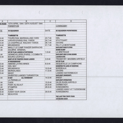
Alan Edgar's Operations
Tags: 49 Squadron; 83 Squadron; bombing of Luftwaffe night-fighter airfields (15 August 1944); Bombing of Mailly-le-Camp (3/4 May 1944); bombing of the Juvisy, Noisy-le-Sec and Le Bourget railways (18/19 April 1944); bombing of the Normandy coastal batteries (5/6 June 1944); Bombing of Trossy St Maximin (3 August 1944); mine laying; Normandy campaign (6 June – 21 August 1944); Pathfinders; RAF Coningsby; RAF Fiskerton; RAF Tuddenham; RAF Waterbeach; RAF Woodbridge; V-1; V-weapon
Alexander Gilbert’s navigator’s, air bomber’s and air gunner’s flying log book
Tags: 149 Squadron; 1661 HCU; 514 Squadron; 9 Squadron; aircrew; Anson; B-17; bombing; bombing of Dresden (13 - 15 February 1945); bombing of Hamburg (24-31 July 1943); C-47; Cook’s tour; flight engineer; Heavy Conversion Unit; Lancaster; Lancaster Finishing School; Lancaster Mk 1; Lancaster Mk 2; Lancaster Mk 3; Manchester; Operation Dodge (1945); Operation Exodus (1945); Operation Manna (29 Apr – 8 May 1945); Oxford; RAF Bardney; RAF Feltwell; RAF Foulsham; RAF Methwold; RAF Stradishall; RAF Tuddenham; RAF Waterbeach; RAF Watton; RAF Winthorpe; RAF Woolfox Lodge; training; York
News Sheet No 42 May 1945
Keith Thompson's flying log book
Tags: 101 Squadron; 1659 HCU; 1662 HCU; 192 Squadron; 199 Squadron; 28 OTU; 30 OTU; Advanced Flying Unit; Air Observers School; aircrew; Anson; B-17; bombing; bombing of Nuremberg (30 / 31 March 1944); Cook’s tour; Distinguished Flying Cross; Flying Training School; Halifax; Halifax Mk 2; Halifax Mk 3; Heavy Conversion Unit; Lancaster; Lancaster Mk 1; Lancaster Mk 3; navigator; Operational Training Unit; RAF Blyton; RAF Castle Donington; RAF Foulsham; RAF Hixon; RAF Kinloss; RAF Leconfield; RAF Lichfield; RAF Ludford Magna; RAF North Creake; RAF Shawbury; RAF St Eval; RAF St Mawgan; RAF Thorney Island; RAF Topcliffe; RAF Watton; RAF Wellesbourne Mountford; RAF West Freugh; RAF Wymeswold; Shackleton; Tiger Moth; training; Wellington
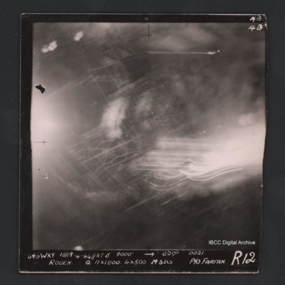
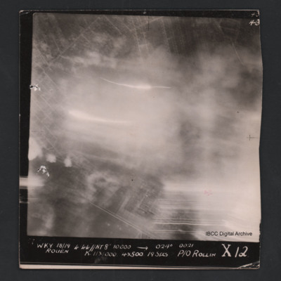
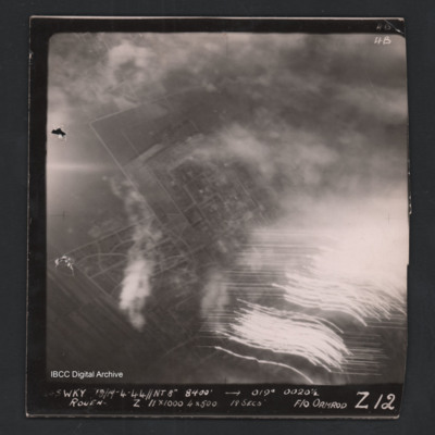
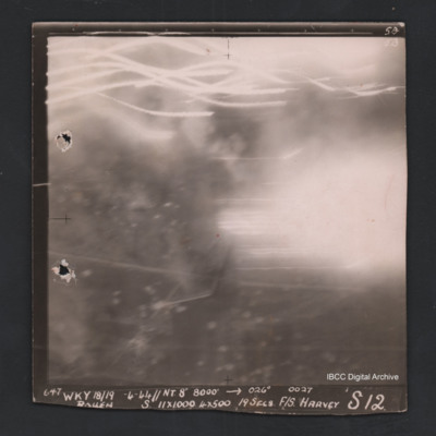
Rouen
Tags: 101 Squadron; aircrew; bombing; Lancaster; navigator; RAF Ludford Magna
John Ormerod’s flight engineers flying log book. Incomplete
James Wrigley's flying log book
Tags: 10 OTU; 1656 HCU; 19 OTU; 199 Squadron; 35 Squadron; 617 Squadron; 635 Squadron; 81 OTU; 83 Squadron; 97 Squadron; Air Gunnery School; aircrew; Anson; B-29; Blenheim; bombing; bombing of Hamburg (24-31 July 1943); bombing of Kassel (22/23 October 1943); bombing of Nuremberg (30 / 31 March 1944); Bombing of Peenemünde (17/18 August 1943); bombing of the Le Havre E-boat pens (14/15 June 1944); Dominie; final resting place; Halifax; Halifax Mk 1; Halifax Mk 2; Heavy Conversion Unit; killed in action; Lancaster; Lancaster Mk 1; Lancaster Mk 3; Lincoln; missing in action; Normandy campaign (6 June – 21 August 1944); Operational Training Unit; Pathfinders; Proctor; RAF Abingdon; RAF Binbrook; RAF Bourn; RAF Downham Market; RAF Hemswell; RAF Kinloss; RAF Lindholme; RAF Marham; RAF Pembrey; RAF Scampton; RAF Shallufa; RAF St Athan; RAF Tilstock; RAF Yatesbury; training; Wellington; Whitley; wireless operator
Rascal’s flying log book for aircrew mascot
Tags: 1656 HCU; 19 OTU; 635 Squadron; 81 OTU; 97 Squadron; Anson; bombing; bombing of Hamburg (24-31 July 1943); bombing of Kassel (22/23 October 1943); bombing of Nuremberg (30 / 31 March 1944); Bombing of Peenemünde (17/18 August 1943); bombing of the Le Havre E-boat pens (14/15 June 1944); Dominie; Halifax; Heavy Conversion Unit; Lancaster; Master Bomber; Normandy campaign (6 June – 21 August 1944); Operational Training Unit; Pathfinders; Proctor; RAF Bourn; RAF Downham Market; RAF Kinloss; RAF Lindholme; RAF Tilstock; RAF Upwood; RAF Yatesbury; superstition; training; Wellington; Whitley


![LRascal-Mascot[Ser#-DoB]v1.pdf LRascal-Mascot[Ser#-DoB]v1.pdf](https://ibccdigitalarchive.lincoln.ac.uk/omeka/files/square_thumbnails/781/9437/LRascal-Mascot[Ser -DoB]v1.jpg)
