Browse Items (66 total)
- Spatial Coverage is exactly "France--Dunkerque"
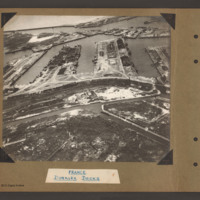
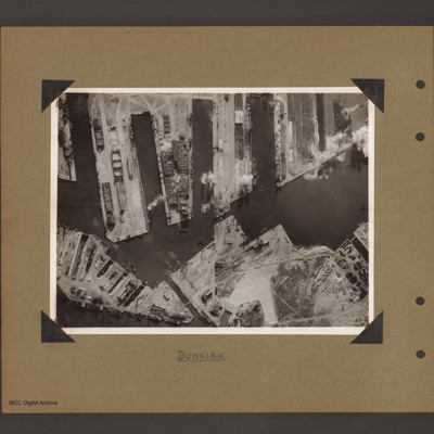
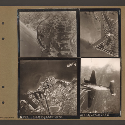
Dunkirk Docks
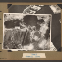
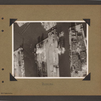
Dunkirk Docks
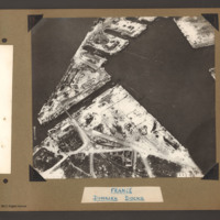
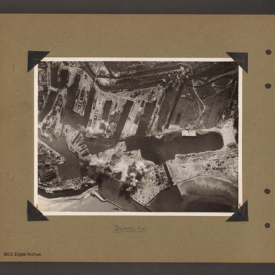
Dunkirk Docks
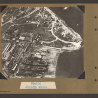
Dunkirk Docks
Tags: aerial photograph
Dunkirk docks
Dunkirk docks
Dunkirk docks
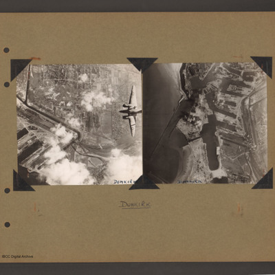
Ventura over Dunkirk and Dunkirk docks
Tags: aerial photograph; bombing; target photograph; Ventura
Dunkirk, Den Helder, Vlissingen and Ventura over Ijmuiden
Top right an aerial vertical…
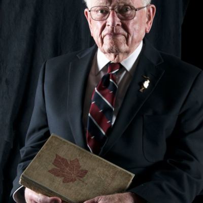
Interview with Les Rutherford. Three
Dunkerque [place]
Donald Cochrane's operations
Tags: anti-aircraft fire; bombing; Bombing of Mailly-le-Camp (3/4 May 1944); bombing of Nuremberg (30 / 31 March 1944); bombing of the Boulogne E-boats (15/16 June 1944); bombing of the Le Havre E-boat pens (14/15 June 1944); bombing of the Normandy coastal batteries (5/6 June 1944); Halifax; Ju 88; Lancaster; mine laying; Normandy campaign (6 June – 21 August 1944); Pathfinders; searchlight; target indicator
Jack Warner’s navigator's, air bomber's and air gunner's flying log book
Tags: 1659 HCU; 1664 HCU; 408 Squadron; 428 Squadron; aircrew; anti-aircraft fire; bombing; bombing of the Normandy coastal batteries (5/6 June 1944); C-47; flight engineer; Gneisenau; Halifax; Halifax Mk 2; Halifax Mk 5; Heavy Conversion Unit; mine laying; Normandy campaign (6 June – 21 August 1944); RAF Croft; RAF Leeming; RAF Middleton St George; RAF St Athan; RAF Topcliffe; Scharnhorst; training; Window
Douglas Hudson's observer’s and air gunner’s flying log book
Tags: 100 Squadron; 1656 HCU; 1662 HCU; 1667 HCU; 28 OTU; Advanced Flying Unit; Air Observers School; aircrew; Anson; bombing; bombing of Nuremberg (30 / 31 March 1944); bombing of the Normandy coastal batteries (5/6 June 1944); Cook’s tour; Halifax; Heavy Conversion Unit; Lancaster; mine laying; navigator; Normandy campaign (6 June – 21 August 1944); Operational Training Unit; Pathfinders; RAF Blyton; RAF Grimsby; RAF Lindholme; RAF Sandtoft; RAF Staverton; RAF Wymeswold; training; Wellington
David Donaldson's pilot's flying log book. One
Tags: 100 Group; 149 Squadron; 15 OTU; 156 Squadron; 1667 HCU; 192 Squadron; 57 Squadron; Air Observers School; aircrew; Anson; bombing; Bombing and Gunnery School; Cook’s tour; Distinguished Flying Cross; Distinguished Service Order; Flying Training School; Gee; Halifax; Heavy Conversion Unit; Hudson; Lancaster; Magister; Operational Training Unit; Oxford; Pathfinders; pilot; Proctor; RAF Brize Norton; RAF Evanton; RAF Feltwell; RAF Foulsham; RAF Hampstead Norris; RAF Harwell; RAF Lindholme; RAF Mildenhall; RAF Warboys; RAF West Raynham; RAF Wyton; Tiger Moth; training; Wellington
Dennis Batty's diary
Tags: 2 Group; Battle; Blenheim; bombing; Hurricane; killed in action; Me 109; RAF Wattisham
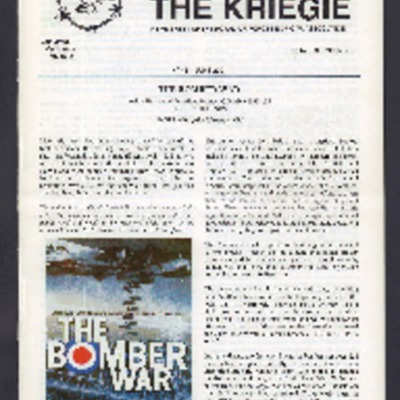
The Kriegie November 2011
Tags: 103 Squadron; 104 Squadron; 166 Squadron; 207 Squadron; 214 Squadron; 218 Squadron; 220 Squadron; 35 Squadron; 460 Squadron; 50 Squadron; 619 Squadron; 77 Squadron; 88 Squadron; air gunner; aircrew; bale out; Blenheim; Boston; crewing up; Distinguished Flying Cross; entertainment; escaping; Fw 190; Hudson; Lancaster; memorial; mess; navigator; P-51; prisoner of war; RAF Abingdon; RAF Attlebridge; RAF Biggin Hill; RAF Elsham Wolds; RAF Hendon; RAF Henlow; RAF Leeming; RAF Waddington; shot down; Spitfire; sport; Stalag Luft 3; Stalag Luft 6; the long march; Wellington; Whitley; wireless operator / air gunner
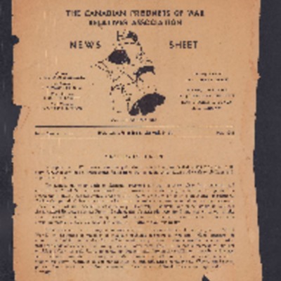
News Sheet No 42 May 1945
The Kriegie June 2001
Tags: 10 Squadron; 103 Squadron; 35 Squadron; 40 Squadron; 57 Squadron; 77 Squadron; 9 Squadron; aircrew; B-17; B-24; bale out; Blenheim; bomb aimer; bombing; bombing of Dresden (13 - 15 February 1945); C-47; Catalina; Distinguished Flying Medal; Dulag Luft; escaping; flight engineer; Fw 190; ground personnel; H2S; Halifax; Harris, Arthur Travers (1892-1984); Heavy Conversion Unit; Hitler, Adolf (1889-1945); Hurricane; Ju 88; Lancaster; Me 110; medical officer; memorial; mess; Mosquito; navigator; Nissen hut; Operational Training Unit; P-51; Pathfinders; Photographic Reconnaissance Unit; prisoner of war; RAF Abingdon; RAF Elsham Wolds; RAF Halton; RAF Hemswell; RAF Henlow; RAF Jurby; RAF Leeming; RAF Lindholme; RAF Lyneham; RAF Melbourne; RAF St Athan; RAF Uxbridge; Red Cross; shot down; Spitfire; sport; Stalag Luft 1; Stalag Luft 3; Stalag Luft 4; Stalag Luft 7; the long march; Tiger Moth; training; Wellington; Whitley
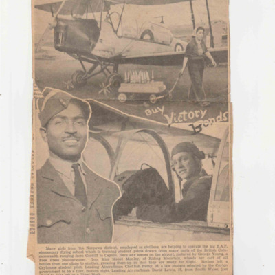
Neepawa News Cuttings
Item 1 shows a Tiger Moth, a ground crew woman and two airmen.
Item 2 is an article about local businesses supporting the RAF. It also describes Commonwealth and British pilots.
Tags: aircrew; Asian heritage; Blenheim; crash; ground crew; Tiger Moth; training
George Hutton’s navigator’s, air bomber’s and air gunner’s flying log book
Tags: 1651 HCU; 180 Squadron; 199 Squadron; 514 Squadron; air gunner; Air Gunnery School; aircrew; Anson; B-25; bale out; Blenheim; bombing; bombing of Nuremberg (30 / 31 March 1944); bombing of the Normandy coastal batteries (5/6 June 1944); Cook’s tour; Heavy Conversion Unit; Lancaster; Lancaster Mk 2; Martinet; mine laying; Normandy campaign (6 June – 21 August 1944); propaganda; RAF Andreas; RAF Lakenheath; RAF Pembrey; RAF Waterbeach; Stirling; training; Wellington
Dennis Denton's log book
Tags: 13 OTU; 139 Squadron; 17 OTU; 2 Group; 21 Squadron; 226 Squadron; air gunner; Air Gunnery School; aircrew; Anson; anti-aircraft fire; B-25; Blenheim; Botha; C-47; Defiant; Dominie; Operational Training Unit; Proctor; RAF Bicester; RAF Evanton; RAF Hartford Bridge; RAF Methwold; RAF Oulton; RAF Swanton Morley; RAF Upwood; RAF Watton; RAF West Raynham; RAF Yatesbury; training; Ventura; Whitley; wireless operator / air gunner
F A Robinson’s flying log book for pilots. One
Tags: 543 Squadron; aircrew; Anson; Blenheim; bombing; Flying Training School; Gneisenau; gremlin; Harvard; Lysander; Magister; Meteor; Operational Training Unit; Oxford; Photographic Reconnaissance Unit; pilot; Proctor; RAF Benson; RAF Cranwell; RAF Hatfield; RAF Hendon; RAF Odiham; RAF St Eval; Scharnhorst; Spitfire; Tiger Moth; Tirpitz; training; Wellington
Henry Simpson’s RAF navigator’s, air bomber’s and air gunner’s flying log book
Tags: 166 Squadron; 1662 HCU; aircrew; bombing; Bombing of Mailly-le-Camp (3/4 May 1944); bombing of Nuremberg (30 / 31 March 1944); flight engineer; Halifax; Halifax Mk 2; Halifax Mk 5; Heavy Conversion Unit; Lancaster; Lancaster Mk 1; Lancaster Mk 3; missing in action; Normandy campaign (6 June – 21 August 1944); RAF Blyton; RAF Kirmington; training

