Browse Items (10 total)
- Spatial Coverage is exactly "France--Béthune"
Sort by:
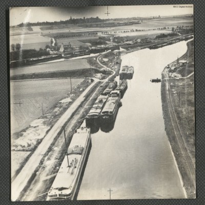
Canal d'Aire near Béthune
Three low level aerial oblique photographs of the Canal d'Aire.
Photo 1 is barges on the canal, close to a junction, on the reverse is typed 'Continuation of bombing-run. France 1945'.
Photo 2 is a bridge over a canal junction, on the reverse is…
Photo 1 is barges on the canal, close to a junction, on the reverse is typed 'Continuation of bombing-run. France 1945'.
Photo 2 is a bridge over a canal junction, on the reverse is…
Béthune [place]
This page is an entry point for a place. This heading is also used for: Bergueneuse; Bergueneuse V-1 launch ramps; Bergueneuse V-1 base. Please use the links below to see all relevant documents available in the Archive.
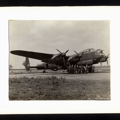
Lancaster and Fred Phillips' crew
A starboard side view of a Lancaster, PA964, on the ground. There are eight aircrew standing at the nose. On the reverse is a list of the aircrew including Tom Jones and a list of his operations.
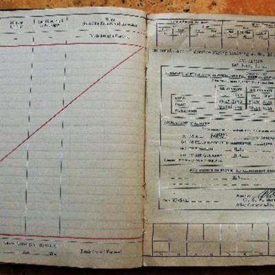
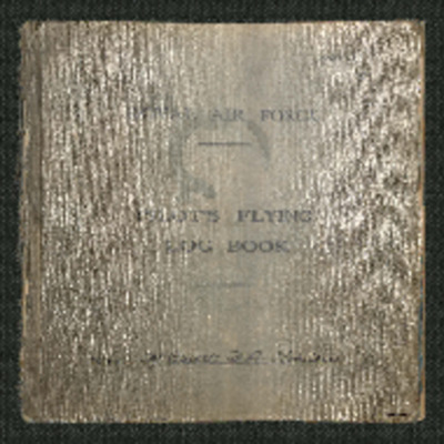
Laurie Penn's pilots flying log book
Pilots flying log book for L E Penn, covering the period from 31 December 1942 to 26 September 1945. Detailing his flying training, operations flown and instructor duties. He was stationed at RCAF Dauphin, RCAF Pennfield Ridge, RCAF Yarmouth, RAF…
Tags: 13 OTU; 17 OTU; 2 Group; 226 Squadron; Advanced Flying Unit; air sea rescue; aircrew; Anson; B-25; bombing; Boston; Flying Training School; Magister; Operational Training Unit; pilot; Proctor; RAF Hartford Bridge; RAF Northolt; RAF Swanton Morley; RAF Turweston; Second Tactical Air Force; training; Ventura
F A Robinson’s flying log book for pilots. One
Flying log book for F A Robinson covering the period from 8 September 1938 to 22 January 1951. Detailing his flying training and operations flown, includes flight certificates, congratulatory messages and notes of appreciation from senior officers, a…
Tags: 543 Squadron; aircrew; Anson; Blenheim; bombing; Flying Training School; Gneisenau; gremlin; Harvard; Lysander; Magister; Meteor; Operational Training Unit; Oxford; Photographic Reconnaissance Unit; pilot; Proctor; RAF Benson; RAF Cranwell; RAF Hatfield; RAF Hendon; RAF Odiham; RAF St Eval; Scharnhorst; Spitfire; Tiger Moth; Tirpitz; training; Wellington
Basil 'Harry' Harrington's flying log book
Flying log book for B A Harrington, wireless operator/air gunner, covering the period from 3 September 1943 to 15 May 1944. Detailing his operations flown. He was stationed at RAF Swanton Morley and RAF Hartford bridge. Aircraft flown in was…
Bergueneuse
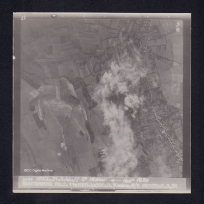
Target photograph of Bergueneuse. Rural area, central strip obscured by smoke and dust. Road running top to bottom on right, structures visible on both sides. Some craters in open country. Captioned '5°F', '5B', '2484 SKELL.31.8.44.// 8" 12000'…
Bergueneuse
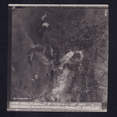
Target photograph of Bergueneuse. Rural area, many craters visible. Captioned '5°F', '5B', '2490 SKELL.31.8.44.// 8" 14000' [arrow] 122° 1824 BERGUENEUSE RD.B.11X1000.4X500.C.30secs.S/L FLINT.T.50'. On the reverse '[underlined] S/L FLINT 31.8.44.…
Bergueneuse
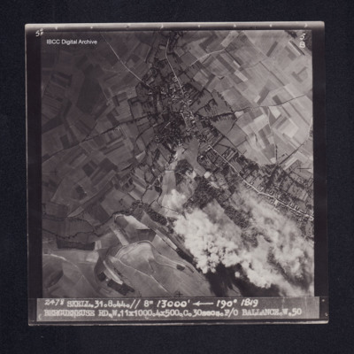
Target photograph of Bergueneuse. Mainly rural, houses visible either side of road, some smoke and dust, craters visible. Captioned '5° F', '5B', '2478 SKELL. 31.8.44. //8" 13000' [arrow] 190° 1819, BERGUENEUSE RD. W. 11X1000. 4X500. C. …
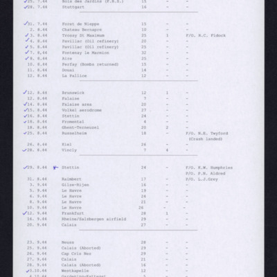
460 Squadron Operations
List of 44 operations between 20 July 1944 and 5 October 1944. Twenty-one operations have a tick alongside.

