Browse Items (1929 total)
- Spatial Coverage is exactly "France"
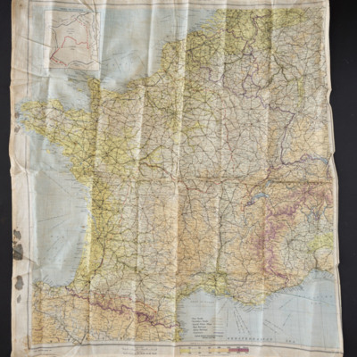
Zones of France
Tags: evading
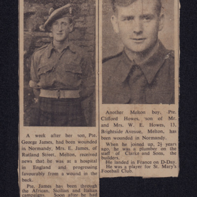
Wounded in Normandy
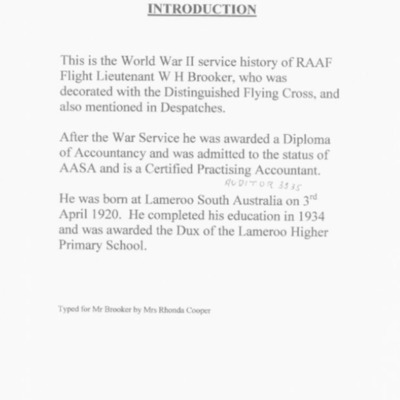
World War II service History of Flight Lieutenant WH Brooker DFC
Initially he served on Wellingtons at Snaith. He describes…
Tags: 27 OTU; 463 Squadron; 467 Squadron; Air Transport Auxiliary; aircrew; anti-aircraft fire; Beaufighter; bombing; Fw 190; Gee; H2S; Halifax; Harris, Arthur Travers (1892-1984); Heavy Conversion Unit; Hurricane; incendiary device; Ju 88; Lancaster; Me 109; Meteor; mine laying; Mosquito; Oboe; Operational Training Unit; Portal, Charles (1893-1971); RAF Bottesford; RAF Church Broughton; RAF Lichfield; RAF Skellingthorpe; RAF Snaith; RAF Swinderby; RAF Waddington; Roosevelt, Franklin Delano (1882-1945); searchlight; Spitfire; training; Wellington; Window
World War II & Flying Memoirs
Tags: 115 Squadron; 1651 HCU; 1678 HCU; 17 OTU; 26 OTU; aircrew; bomb struck; bombing; bombing of the Le Havre E-boat pens (14/15 June 1944); bombing of the Normandy coastal batteries (5/6 June 1944); Cook’s tour; crash; Flying Training School; Gee; Harvard; Heavy Conversion Unit; incendiary device; Initial Training Wing; Lancaster; Lancaster Finishing School; Lancaster Mk 2; love and romance; Me 110; Normandy campaign (6 June – 21 August 1944); Operational Training Unit; Oxford; pilot; promotion; RAF Dishforth; RAF Feltwell; RAF Hemswell; RAF Lindholme; RAF Silverstone; RAF Waterbeach; RAF Windrush; RAF Wing; RAF Witchford; RAF Wratting Common; searchlight; Stearman; Stirling; Tiger Moth; training; Wellington; Window; York
WO Donald Keith Fraser
Tags: 1 Group; 101 Squadron; 1667 HCU; aircrew; bomb trolley; bombing; bombing up; briefing; Churchill, Winston (1874-1965); Cook’s tour; dispersal; Distinguished Flying Medal; fear; FIDO; fitter engine; flight engineer; flight mechanic; fuelling; Gee; George VI, King of Great Britain (1895-1952); ground crew; Halifax; Harris, Arthur Travers (1892-1984); Heavy Conversion Unit; Lancaster; memorial; military ethos; military living conditions; military service conditions; navigator; Nissen hut; Operational Training Unit; perception of bombing war; perimeter track; petrol bowser; radar; RAF Bottesford; RAF Catfoss; RAF Coningsby; RAF Cottesmore; RAF East Kirkby; RAF Lindholme; RAF Ludford Magna; RAF North Luffenham; RAF St Athan; RAF Waddington; RAF Wickenby; runway; searchlight; service vehicle; Tiger force; Tirpitz; tractor; training; Window; wireless operator
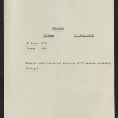
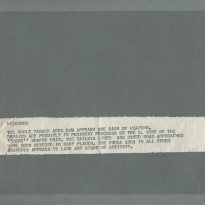
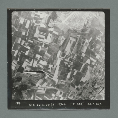
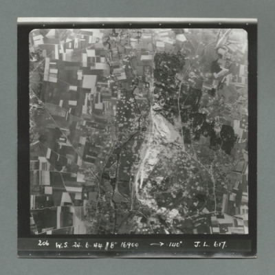
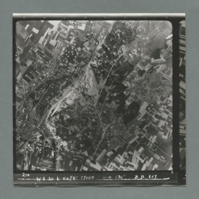
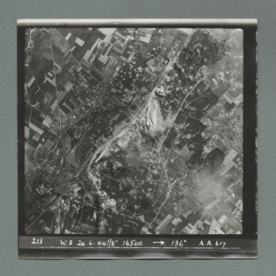
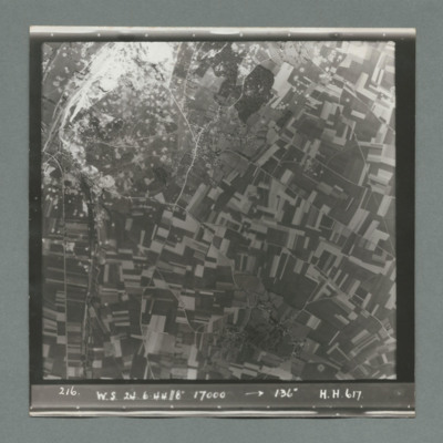
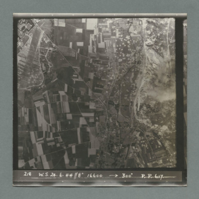
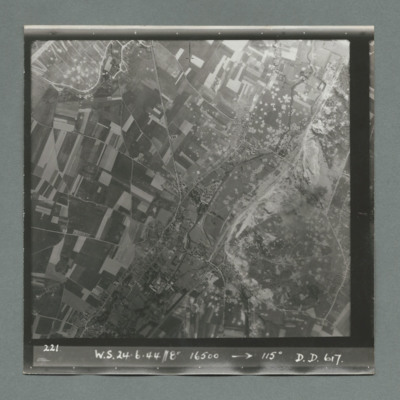
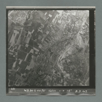
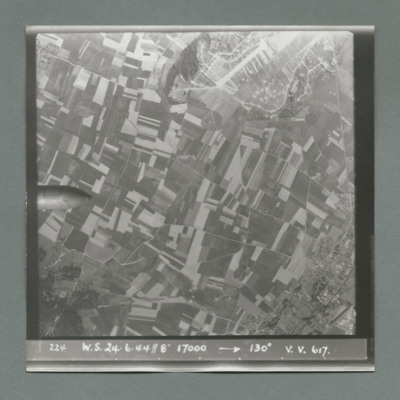
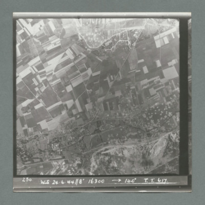
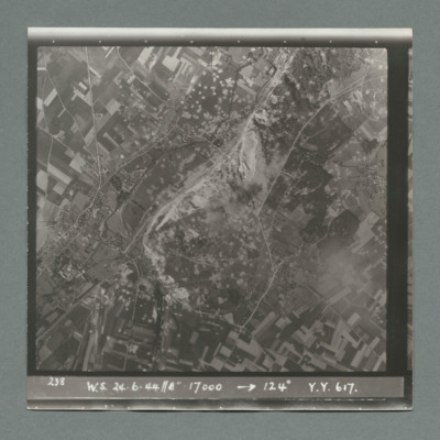
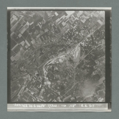
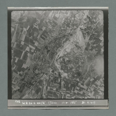
Wizernes, Edward King's 21st operation of his tour
Wizernes
Wizernes
Wizernes
Wizernes
Wizernes
Wizernes
Wizernes
Wizernes
Wizernes
Wizernes
Wizernes
Wizernes
Wizernes
Wizernes
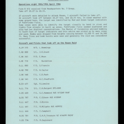
Witchford Airfield Operations 18th/19th April 1944
Two aircraft were shot down by a Me 410 as they were landing. The crews are listed.
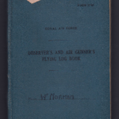
William Norman's observer's and air gunner's flying log book
Tags: 1662 HCU; 18 OTU; 626 Squadron; air gunner; Air Gunnery School; aircrew; Anson; Bombing and Gunnery School; bombing of the Normandy coastal batteries (5/6 June 1944); Halifax; Heavy Conversion Unit; killed in action; Lancaster; Lancaster Finishing School; mine laying; Normandy campaign (6 June – 21 August 1944); Operational Training Unit; RAF Binbrook; RAF Bishops Court; RAF Blyton; RAF Bramcote; RAF Hemswell; RAF Wickenby; tactical support for Normandy troops; training; Wellington
William James Herbert’s flying log book for navigator’s, air bomber’s and air gunner’s
Tags: 1654 HCU; 50 Squadron; aircrew; bombing; bombing of the Creil/St Leu d’Esserent V-1 storage areas (4/5 July 1944); bombing of the Pas de Calais V-1 sites (24/25 June 1944); Bombing of Trossy St Maximin (3 August 1944); Cook’s tour; flight engineer; Heavy Conversion Unit; Lancaster; Lancaster Finishing School; Normandy campaign (6 June – 21 August 1944); RAF Skellingthorpe; RAF Swinderby; RAF Syerston; RAF Wigsley; Stirling; tactical support for Normandy troops; training
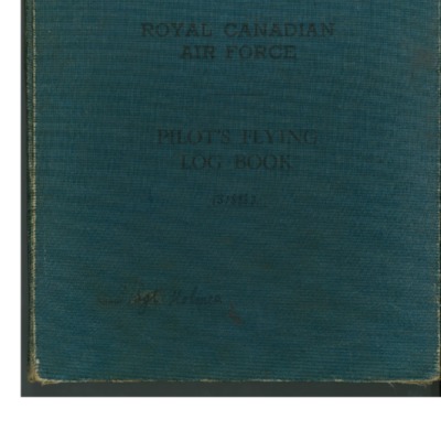
William Holmes' Royal Canadian Air Force pilot's flying log book
Tags: 12 OTU; 149 Squadron; 1651 HCU; Advanced Flying Unit; aircrew; Anson; bombing; C-47; Flying Training School; Heavy Conversion Unit; mine laying; Operational Training Unit; Oxford; pilot; RAF Holme-on-Spalding Moor; RAF Lakenheath; RAF Methwold; RAF Morecambe; RAF Northolt; RAF Shawbury; RAF Syerston; RAF Wratting Common; RCAF Bowden; RCAF Estevan; RCAF Moncton; Stearman; Stirling; Tiger Moth; training; Wellington
William H Cooke’s navigators, air bombers and air gunners flying log book
Tags: 16 OTU; 1661 HCU; 49 Squadron; 99 Squadron; air gunner; Air Gunnery School; aircrew; Anson; B-24; bombing of Luftwaffe night-fighter airfields (15 August 1944); Bombing of Trossy St Maximin (3 August 1944); crash; Heavy Conversion Unit; Lancaster; Lancaster Finishing School; Normandy campaign (6 June – 21 August 1944); Operational Training Unit; radar; RAF Bishops Court; RAF Fiskerton; RAF Fulbeck; RAF Syerston; RAF Upper Heyford; RAF Winthorpe; Stirling; tactical support for Normandy troops; training; Wellington

