Browse Items (10 total)
- Spatial Coverage is exactly "Austria--Villach"
My War Story
Tags: 22 OTU; 420 Squadron; 425 Squadron; 431 Squadron; 434 Squadron; air gunner; aircrew; animal; Anson; anti-aircraft fire; arts and crafts; bale out; bomb aimer; C-47; Caterpillar Club; crash; crewing up; Dulag Luft; final resting place; flight engineer; ground personnel; Halifax; Halifax Mk 3; Heavy Conversion Unit; Hitler, Adolf (1889-1945); Hurricane; Ju 88; lynching; mess; Morse-keyed wireless telegraphy; navigator; Operational Training Unit; Oxford; P-51; pilot; prisoner of war; RAF Boscombe Down; RAF Bridgnorth; RAF Bridlington; RAF Cosford; RAF Dishforth; RAF Elvington; RAF Gaydon; RAF Inverness; RAF Manston; RAF Tholthorpe; RAF Wellesbourne Mountford; Red Cross; sanitation; service vehicle; sport; Stalag Luft 3; Stalag Luft 6; strafing; the long march; training; Typhoon; Wellington; Whitley; Women’s Auxiliary Air Force
N Powell's flying log book for navigators, air bombers, air gunners, flight engineers
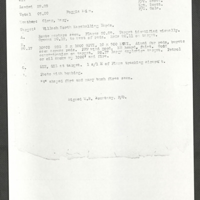
Sortie report Villach
Tags: 104 Squadron; bombing
Villach [place]
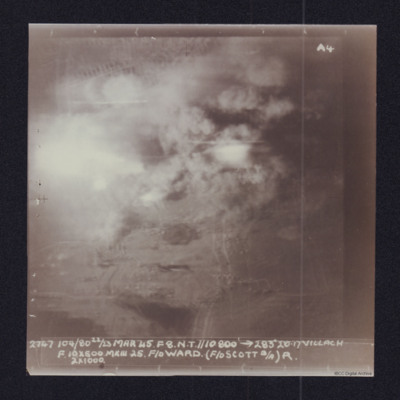
Villach
Villach
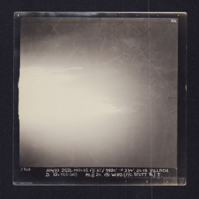
2769 104/83 25/26-MAR-45. F8". NT//9,820' →234º 20.29. VILLACH
D 12x500 (INC) MkIII 20 F/O…
Villach
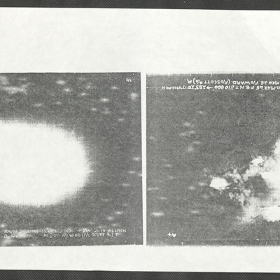
The left image is captioned:
2769 104/83 25/26-MAR-45. F8. NT.//9820'.→234º. 20.19. VILLACH
D. 12x…
Norman Powell's Operations
Page 1: Sortie report for an operation to Bruck Marshalling yards
Page 2:Vertical aerial target photograph of an unknown location showing some ground detail as tracer trails. Not all…
Norman Powell's Operations
Page 1: Vertical aerial target photograph of Argenta. Some roads, houses and open fields are visible in the upper half of the image. There are also canals, rail tracks or roads…


![E[Author]LPowellNI920207.pdf E[Author]LPowellNI920207.pdf](https://ibccdigitalarchive.lincoln.ac.uk/omeka/files/square_thumbnails/1697/39547/E[Author]LPowellNI920207.jpg)
