Browse Items (254 total)

  • Spatial Coverage is exactly "Atlantic Ocean--North Sea"

LAnsellAV1390280v1.pdf
Royal Canadian Air Force observer’s and air gunner’s log book for Sergeant Albert Victor Ansell from 25 October 1942 to 30 April 1943. Detailing his flying training and operations flown. He was stationed at Pan American Airways navigation school…

MBeltonSLS190305-151120-050001.jpg
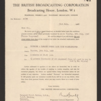
The letter invites Sergeant Spencer Lewis Belton to repeat a British Broadcasting Corporation broadcast entitled ‘Bringing a Damaged Bomber back from Wilhelmshaven’. The reverse contains the conditions attached to the broadcast.

MBeltonSLS190305-151120-06.pdf
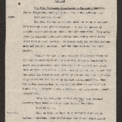
Sergeant Spencer Lewis Belton is interviewed by a wing commander about his aircraft flying over North Sea to bomb Wilhelmshaven. Mentions a British convoy and intense anti-aircraft fire over Emden. Describes the Wilhelmshaven bombing mentioning many…

MBeltonSLS190305-151120-08.jpg
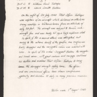
Petition for the award of Distinguished Flying Cross to Pilot Officer William Frank Tudhope and Distinguished Flying Medal to Sergeant Lewis Smith Belton. Provides details about the operation on Wilhelmshaven, damage by anti-aircraft fire, then the…

NBeltonSLS151120-03.jpg
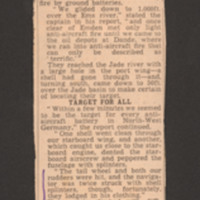
Pilot describes the events of the operation, damage to wing, propeller, tail wheel and rudders. Proceeded to target and dropped bomb load.

NBeltonSLS151120-04.jpg
Details of awards of Distinguished Flying Crosses and Distinguished Flying Medals to aircrew.

NBeltonSLS151120-09.jpg
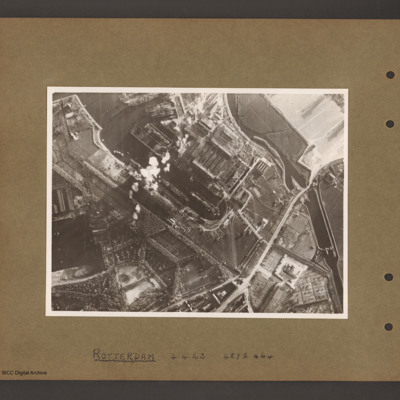
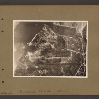
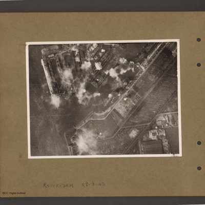
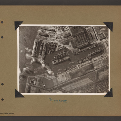
Details of operations on oil tanks at Rotterdam and on Wilhelmshaven.

PArcherSW1609.jpg
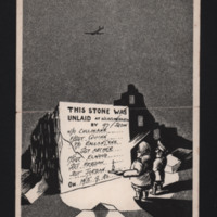
Cartoons of Hitler and Goering standing by stone with message. Goering is holding a candle in a candle holder. The light reveals a message ‘ This stone was unlaid at Wilhelmshaven by 97 Sqdn W/O Cullinane, F/Sgt Quinn, P/O Ballantyne, Sgt Archer,…

Royal Air Force navigators, air bombers, air gunners and flight engineers flying log book for L W Green, air gunner, covering the period from 16 June 1944 to 8 July 1945. Detailing training, scores on gunnery course, and operations flown and post war…

PGreenLC1608.jpg
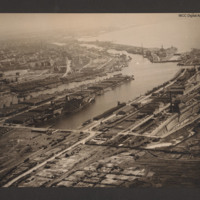
Oblique aerial photograph taken at low level showing port facilities, buildings, rail sidings and several vessels. The port is Bremerhaven. In the centre two waterways separated by a spur of land covered with dockyard buildings and cranes. On the…

PBanksP15010036.jpg
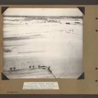
Aerial inclined photograph showing snow covered flat open countryside with a few marked field boundaries. In the foreground on the left part of a fenced field with a few boundary trees. In the distance more wooded countryside. Captioned 'Flooded area…

PBanksP15010037.jpg
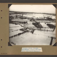
Aerial inclined photograph showing flooded fields with some boundary hedges and isolated buildings in the foreground. In the middle is a village orientated left to right across the scene. At the left end is a church surrounded by houses. In the…

PBanksP15010038.jpg
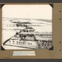
Aerial inclined photograph showing flooded farmland. In the foreground a farmhouse with hedge lined fields/orchards to the right. A flooded road runs from bottom left towards the middle when it bends back towards the top left. Along the road are…

PBanksP15010041.jpg
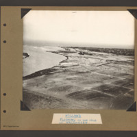
Aerial inclined photograph showing flat flooded land in the foreground and a coastal town in the distance. On the left side a inlet open into open sea. A river runs from middle right side towards the sea on the left. Beyond the river is a town on a…

PBanksP15010054.jpg
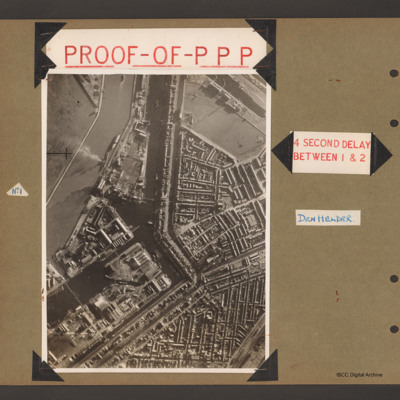
First page has aerial vertical photograph of canal and dock basin with town to the right hand side. A river runs down the left side with two ships moored on the right side. A further barge is in midstream at the tip. A canal runs from top to middle…

PBanksP15010056.jpg
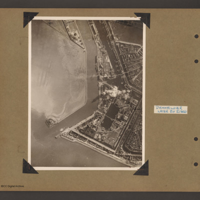
An aerial vertical photograph showing the mouth of a river meeting open water with town and docks on the right. River runs from top downwards before bending left to meet open water. At the river mouth on the left is a defensive fortification. The…

PBanksP15010066.jpg
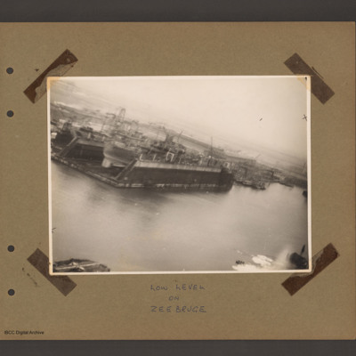
An aerial inclined photograph of docks. In the centre left a floating dock containing a ship. To the right of dock other floating dockyard machinery and some small moored boats. Various cranes and other unloading equipment are visible. Captioned 'Low…

PBanksP15010067.jpg
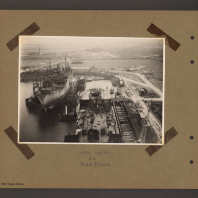
An aerial inclined photograph of two floating docks with ships. At the bottom centre the rear half of a ship in a floating dock with an open cargo hold at the rear. There are cranes bottom right and at the rear left side. To the left and further back…

PBanksP15010070.jpg
An aerial vertical photograph of docks. On the right a series of interconnected canals and basins. A road runs from top right to middle bottom crossing the canal over narrow channel. A large basin goes from top left to the centre with several ships…

PBanksP15010071.jpg
Aerial vertical photograph of docks. A wide river runs from top centre diagonally to bottom left. At the top an inlet and on the right side a road runs top to bottom. Below the inlet and between road and river is a large basin with docks running off…

PBanksP15010072.jpg
Aerial vertical photograph of docks. On the left a river with opening to a dock basin. A number of docks with jetties lead of on the top side of the basin. There is a ship moored on the left of the second dock from left. A series of bomb explosions…

PBanksP15010073.jpg
Aerial vertical photograph of Wilton Shipyards. On the left the Nieuwe Maas river with entrance to Vijfsluizen basin (Wiltonhaven). Several small craft are leaving it and spreading out on the river. Just inside the entrance, on the top side, several…

PBanksP15010074.jpg
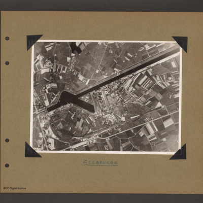
Aerial vertical photograph of dock area. On the left a canal running vertically from top to bottom. At the bottom an inlet dock runs towards the centre. On the left side of the inlet six tanks and two small ships moored on jetties. Above the inlet…

PBanksP15010075.jpg
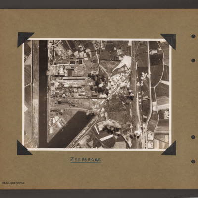
Aerial vertical photograph of canal and dock basin. A canal runs from top right to centre left. At the left end is a basin runing from the canal towards the bottom right. To the right of the basin is an industrial area. Below the industrial area…

PBanksP15010087.jpg
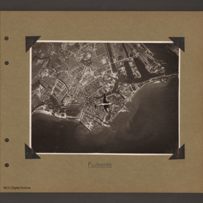
Aerial vertical photograph of coastline with town and docks. Coastline runs from mid left to right with a broad peninsular in the centre on which is a large town with docks. There are five jetties/piers running out into the sea. There is a Ventura…
Output Formats

atom, dc-rdf, dcmes-xml, json, omeka-xml, rss2