Browse Items (34 total)
- Is Part Of is exactly "O’Hara, Paddy. Folder POHaraHF1601"
Sort by:
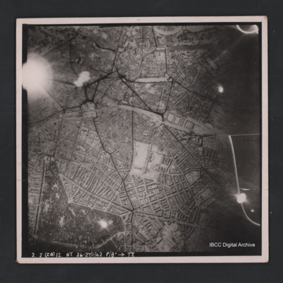
Hannover
Vertical aerial photograph of Hannover. The image is largely clear with only one flare in the top left. Street patterns and buildings are clearly visible. Captioned ‘2. J (Z6) 12 NT 26-27/1/42 F/8” [arrow] TX’
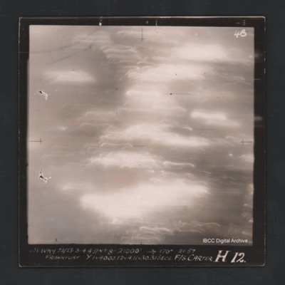
Frankfurt
Vertical aerial photograph of Frankfurt. The image is totally obscured by cloud or fires and anti-aircraft fire. Captioned ‘4B 4B' and ‘481 WKY 22/23-3-44 //NT 8” 21000 [arrow] 177° 21.57 Frankfurt Y 1 x 4000.12 & 4.11x30 31 secs F/S…
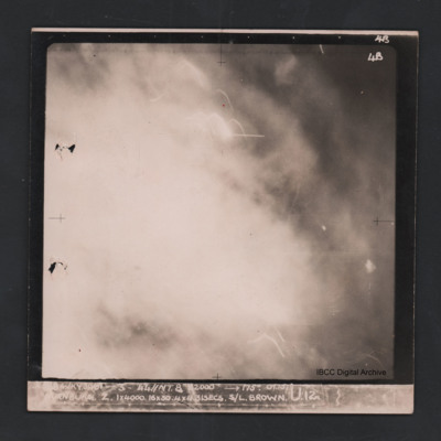
Nurnburg
Vertical aerial photograph of Nuremberg. The image is totally obscured by cloud or fires and anti-aircraft fire. Captioned ‘4B 4B’ and ‘[indecipherable] WKY 30/31-3-44 //NT 8” 22000 [arrow] 175° 01.15 Nurnburg Z 1 x 4000 16x30 31…
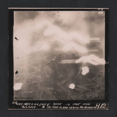
Aulnoye
Vertical aerial photograph of Aulnoye. The image is largely obscured by cloud or fires and anti-aircraft fire. The bottom half has roads and an urban area surrounded by fields. Captioned ‘608 WKY 10/11.4.44 //NT 8” 9000 [arrow] 030° 0221 …
Karlsruhe
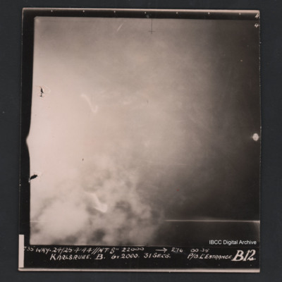
Vertical aerial photograph of Karlsruhe. The image is largely obscured by cloud or fires and no detail is visible. Captioned ‘735 WKY 24/25’4’44 //NT 8” 22000 [arrow] 276 0035 Karlsruhe B 6 X 2000 31 secs P/O L’Estrange B12’.
Rostock
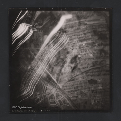
Vertical aerial photograph of a railway junction. At the bottom is Rostock urban area. Anti-aircraft trace fire obscures part of the left side. Captioned ‘1. P(Y6) 12 NT 26/27/4/42 F/8” [arrow] TX’, on the reverse 2500’ W of old…
Romorantin-Pruniers aerodrome
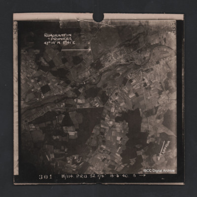
Vertical aerial photograph of Romorantin-Pruniers aerodrome, identified with text ‘Romorantin-Pruniers 46° 19’N 1°41E’. The remainder of the photograph is rural with small villages except for the airfield area which has many buildings. An…
Argenteuil
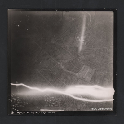
Vertical aerial photograph of Argenteuil. Street pattern and buildings are visible, the cemetery is in the bottom-right corner. Anti-aircraft fire along bottom of photograph.Captioned ‘A O (x4) 12 NT 29/30/4/42 F/8” [arrow] TX
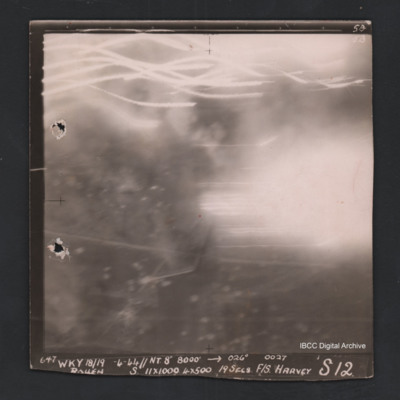
Rouen
Vertical aerial photograph of Rouen. No ground detail visible, most of the image is obscured by flares or anti-aircraft fire. Captioned ‘5B 5B’and ‘647 Wky 18/19-4-44 //NT 8” 8000’ [arrow] 026° 0027 Rouen S 11x1000 4x500 19secs F/S…

