Browse Items (13 total)
- Is Part Of is exactly "Hourigan, Margaret. Folder PHouriganM1802"
Sort by:
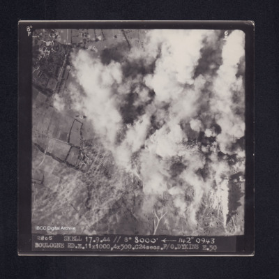
Boulogne
Target photograph of Boulogne. Top right half of photograph obscured by smoke, visible area rural, many craters. Captioned '8°F', '6B', '2805 SKELL 17.9.44 // 8" 8000' [arrow] 142° 0943 BOULOGNE RD. E. 11X1000, 4X500. C24secs. F/O. DYKINS …
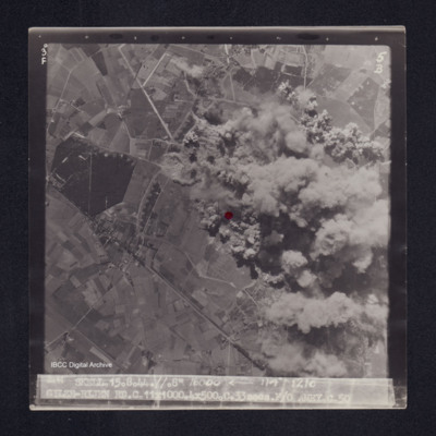
Gilze-Rijen
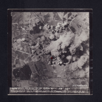
Target photograph of Gilze-Rijen. End of runway visible just below red dot, taxyways visible. Much of right side of photograph obscured by bomb explosions, smoke and dust. visible area rural. Captioned '3°F', '5B', '2141 SKELL. 15.8.44. //. 8"…
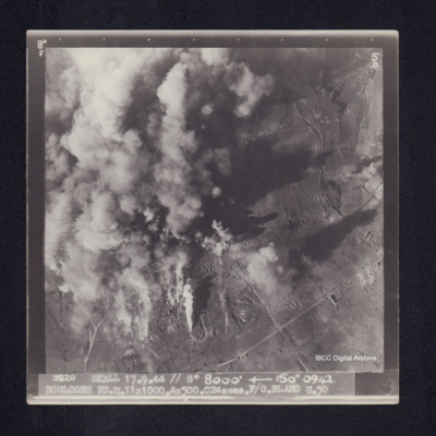
Boulogne
Target photograph of Boulogne. Left side of photograph obscured by smoke and dust, visible area is rural. Many bomb craters. Captioned '8°F', '5B', '2820 SKELL 17.9.44 // 8" 8000' [arrow] 150° 0942. BOULOGNE RD. U. 11X1000. 4X500. C24secs. F/O…
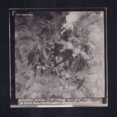
Le Havre
Target photograph of Le Havre. Rural area, centre of photograph obscured by smoke and dust, craters visible. Captioned '5°F', '5B', '2652 SKELL 10.9.44 // 8" 11500' [arrow] 122° 1722 LE HAVRE RD. L. 11X1000. 4X500. C29secs. F/S McEACHEARN. L.…
Foret de L'Isle Adam
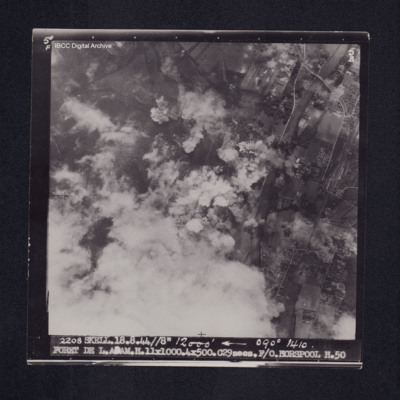
Target photograph of Forêt de L'Isle-Adam. Road rail bridge over river Oise top right, bottom left obscured by cloud with smoke and dust, bomb explosions and craters visible. Captioned '5°F', '5B', '2208 SKELL. 18.8.44 //8" 12000' [arrow] 090°…
Gilze-Rijen
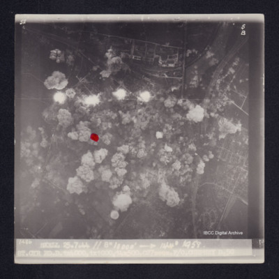
Target photograph of Gilze-Rijen. End of a runway lower centre together with taxyways, centre of photograph obscured by bomb explosions, dust and smoke. Craters visible. Red dot lower centre. Captioned '3°F', '6B', '2138 SKELL. 15.8.44. //. 8"…
Foret de L'Adam
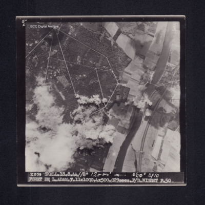
Target photograph of Foret de L'Adam. River Oise running top to bottom right side of photograph, railway running close to river, road bridge across rive. Bomb explosions with smoke and dust obscure bottom left of photograph. Road network in forest…
Gilze-Rijen
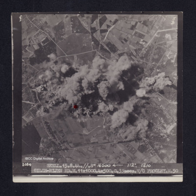
Target photograph of Gilze-Rijen. Runway running top to bottom of photograph, taxyways visible as are craters and bomb explosions. Centre of photograph obscured by smoke and dust. Red dot centre left. Captioned '3°F', '5B', '2084 SKELL. 15.8.44. …
Bergueneuse
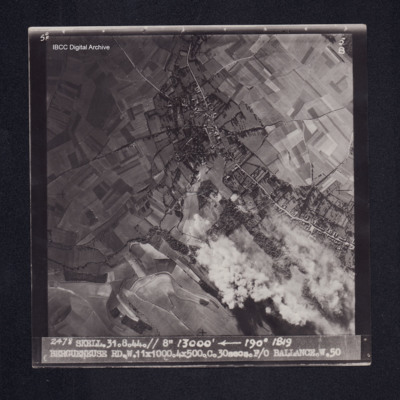
Target photograph of Bergueneuse. Mainly rural, houses visible either side of road, some smoke and dust, craters visible. Captioned '5° F', '5B', '2478 SKELL. 31.8.44. //8" 13000' [arrow] 190° 1819, BERGUENEUSE RD. W. 11X1000. 4X500. C. …
Boulogne
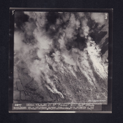
Target photograph of Boulogne. Rural area, smoke and dust obscures much of the photograph, many craters visible. Captioned '8° F', '5B', 2897 SKELL 17.9.44 // 7000' [arrow] 160° 0946 BOULOGNE RD. Z. 11x1000, 4x500. C24secs. F/O FIRMIN G. …
Le Havre
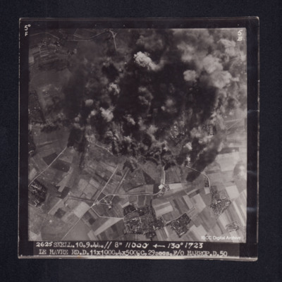
Target photograph of Le Havre. Rural area, centre of photograph obscured by smoke and dust, craters and one dropping bomb visible. Captioned '5° F', '5B', '2625 SKELL. 10.9.44. // 8" 11000' [arrow] 130° 1723, LE HAVRE RD. D. 11x1000. 4x500. …
J/Laroche
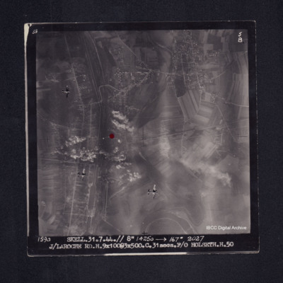
Target photograph of Laroche - Migennes. Largely rural but with built up area along canal that runs top to bottom on left side of photograph and also across the top third, street patterns clearly visible. Railway with extensive sidings runs alongside…
St. Cyr
Target photograph of St. Cyr, urban area, street patterns visible although largely obscured by smoke and dust from bomb explosions. Two sets of railway tracks from top right corner, four bomb explosions and many bomb craters. A red dot is visible on…

