Browse Items (48 total)
- Conforms To is exactly "Geolocation impractical"
Sort by:
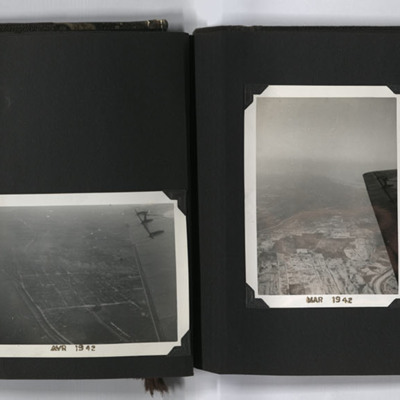
Aerial Photographs, Canada
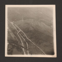
Four aerial photographs from an album.
#1 is a city with a river.
#2 is a city at the side of a river.
#3 is a city with a regular grid street pattern and a river under the wing of an aircraft.
#4 is Montreal with three bridges crossing the St…
#1 is a city with a river.
#2 is a city at the side of a river.
#3 is a city with a regular grid street pattern and a river under the wing of an aircraft.
#4 is Montreal with three bridges crossing the St…
Tags: aerial photograph; training
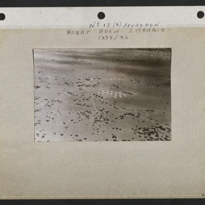
Aerial View of Robat
An aerial view of the airstrip and camp at Robat. It is captioned 'No 12 (B) Squadron Robat Aden S Arabia 1935/36'.
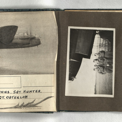
Aiming point certificate, aircrew and Manchester
First, a sketch of a Lancaster in flight, captioned 'Wismar, 12/13.X.42 F/Sgt Turner, F/Sgt Anderson, Sgt Davies, Sgt Hunter, Sgt Coombes, Sgt Cass, Sgt Osterloh. 61 Squadron.' Signed 'A Pollen P/O 1942.' Second, four men in uniform and side caps…
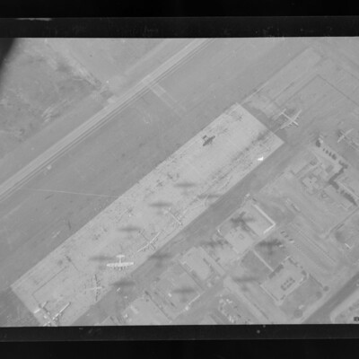
Aircraft on Long Beach Air Force Base
Vertical air to ground view of an airfield parking pan running top left to bottom right. Airfield buildings are also shown. Parked on the pan are Lancaster, B-29, C-57, Northrop P61, B-17 and Lockheed Constellation as well as other aircraft.…
Tags: 35 Squadron; aerial photograph; B-17; B-29; C-47; Lancaster; P-38
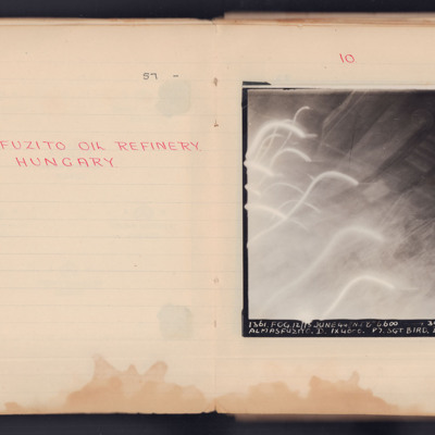
Almasfuzito Oil Refinery Hungary
A target photograph taken during an operation to Almasfuzito. The left and bottom of the image are obscured by light trails and glare. To the right and upper areas the refinery and roads can be seen. It is annotated 'A4' and captioned:
'1361. FOG.…
'1361. FOG.…
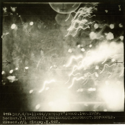
Bochum
A target photograph taken on an operation to Bochum. Most of the image shows puffs of smoke and light trails but some ground detail can be seen through the haze. The photograph is annotated '5B and captioned:'2956 DRF. 4/5-11-44//NT(C) 7" 18000.…
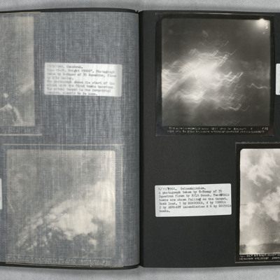
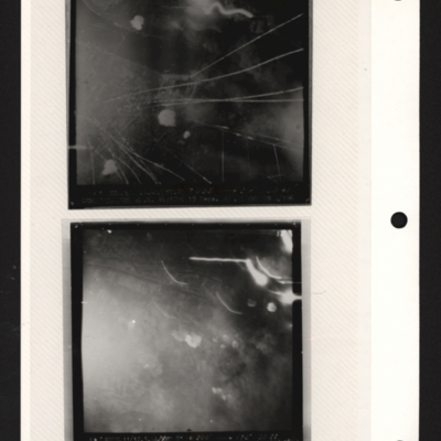
Bochum and Gelsenkirchen
Photo 1 is a vertical aerial photograph of Bochum. Most of the image is obscured by incendiary explosions.
Photo 2 is a vertical aerial photography of Gelsenkirchen. Two bombs can be seen falling.
Photo 2 is a vertical aerial photography of Gelsenkirchen. Two bombs can be seen falling.
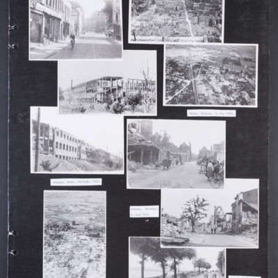
Bomb damaged German cities
Photograph 1 is a street scene of damaged building with a girl cycling. Captioned 'Krefield, [sic] Germany 5 Aug 1945.'
Photograph 2 is a low level oblique photograph of a badly damaged city. In the distance are port cranes.
Photograph 3 and 5 are…
Photograph 2 is a low level oblique photograph of a badly damaged city. In the distance are port cranes.
Photograph 3 and 5 are…
Tags: aerial photograph; bombing; Cook’s tour
Brück
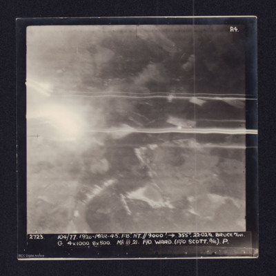
Two copies of a target photographs taken on an operation to Brück. Smoke from explosions and light trails from tracer. Both copies are captioned:
'2723 104/77. 19/20-MAR-45. F8 NT//9000' → 355°. 22.021/2 BRUCK M/YDS.
G. 4x1000. 8x500 Mk III 21.…
'2723 104/77. 19/20-MAR-45. F8 NT//9000' → 355°. 22.021/2 BRUCK M/YDS.
G. 4x1000. 8x500 Mk III 21.…
Bremerhaven
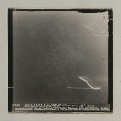
A vertical aerial photograph taken during an operation at Bremerhaven. Indistinct ground images can be seen. It is captioned '2940 Skell. 18/19.9.44//NT. 8" 15500 <-- 168° 2102 Bremerhaven RD.H.1x2000.12 "J" x30.25 secs. F/O Drinkell. H.50'. On…
Cahagnes
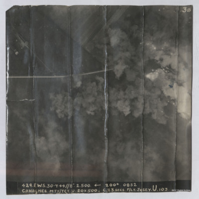
Target photograph shows explosions with dust and smoke clouds. Some target indicator flares are to right. Rural area with some buildings visible in top left with track crossing left to right. Captioned '429.E.W.S. 30.7.44//8" 2.500 200(Degrees) 08.32…
Casarsa bridge
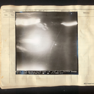
Vertical aerial photograph of the area around the Casarsa bridge on the Tagliamento river. The left half of the image is obscured by bright light. A road runs from top to bottom with side roads leading off. Captioned: 'A4 2009 40/46 Dec 26 44 F8//NT…
Chemical works Cologne
Oblique aerial photograph of river valley with roads, railways and at bottom left, a open area of water. At lower right one road runs from middle left to bottom centre which splits into three from two junctions. Railway line runs along road and…
Črnomelj
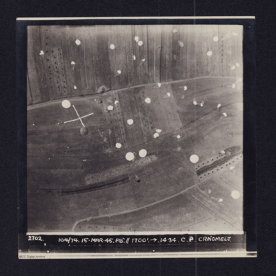
Daylight vertical aerial photograph of a supply drop atČrnomelj. Detail is very clear and numeroous parachutes can be seen descending and landing in the fields. The photo is captioned:2702 104/74 14-MAR-45. F8".//1700'.→ 14.34. C.P. CRNOMELJThe…
Cologne
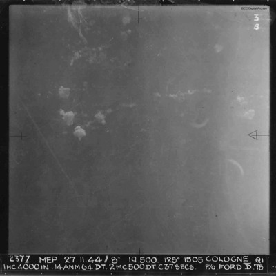
A vertical aerial photograph of Cologne during a daytime operation. Very little detail of the ground is visible. There are some bomb explosions. Annotated '2377 MEP 27.11.44//8” 19,500. 125[degrees] 1505 COLOGNE QI IHC 4000 IN…
Dortmund-Ems Canal
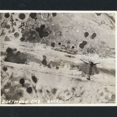
Vertical aerial of bombing damage on the Dortmund-Ems Canal. There are many craters and tracks of bulldozers undertaking repairs. A bridge shows little sign of damage. Captioned 'Dortmund-Ems Canal'.
Tags: aerial photograph; bombing
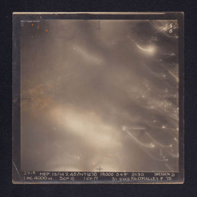
Dresden
Target photograph of Dresden. No ground details are visible but the glare from fires on the ground are visible through the smoke. There are some bright spots and trails of light on the right. It is annotated "5B" and captioned: "2914. MEP.…
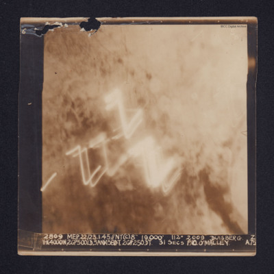
Duisberg
A target photograph of Duisburg. Cloud or smoke obscures the ground and there are several light trails in the centre of the photograph.
It is annotated "5B" and captioned: "2809 MEP. 22/23.1.45//NT(C)8" 19,000' 112º 2009 DUISBERG [sic]. Z…
It is annotated "5B" and captioned: "2809 MEP. 22/23.1.45//NT(C)8" 19,000' 112º 2009 DUISBERG [sic]. Z…
Dusseldorf
Operation 33. Three Navigation log sheets recording the routes and observations. A plotting map showing the routes out to Dusseldorf and back.
A target photograph in which everything is obscured, mainly by illuminated smoke or cloud. Caption for…
A target photograph in which everything is obscured, mainly by illuminated smoke or cloud. Caption for…
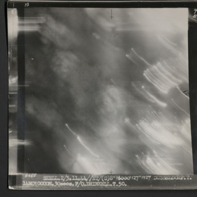
Dusseldorf
A vertical aerial photograph taken during an operation at Dusseldorf. No ground detail is visible.
It is captioned '3485 Skell 2/3.11.44//NT/(C) 8" 18000' 127° 1927 Dusseldorf. T. 14MC1000DN.30 secs. F/O Drinkell. T. 50.'
On the reverse is…
It is captioned '3485 Skell 2/3.11.44//NT/(C) 8" 18000' 127° 1927 Dusseldorf. T. 14MC1000DN.30 secs. F/O Drinkell. T. 50.'
On the reverse is…
Gennevilliers
Top - target photograph showing tracer lines and explosions. Caption too faint to read. Submitted with description 'Target photo of Gnome-Rhone factory at Gennevilliers on 9/10 May 1944. Photo taken from Lancaster ND682, ZN-K. Captain: P/O…
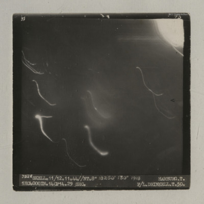
Harburg
A vertical aerial photograph of an operation at Harburg. Very little detail is visible on the ground but there are several light flashes.
It is captioned '3528 Skell. 11/12.11.44//NT.8" 18250' 130° 1918 Harburg. T. 1HC4000IN.14CP14. 29 sec. F/L…
It is captioned '3528 Skell. 11/12.11.44//NT.8" 18250' 130° 1918 Harburg. T. 1HC4000IN.14CP14. 29 sec. F/L…
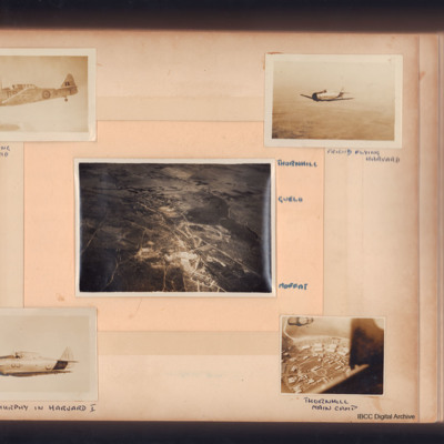
Harvards at Thornhill
Five photographs, first Harvard in flight, captioned 'Self flying Mk IIa Harvard'. Second, Harvard in flight captioned 'Friend flying Harvard'.
Third, aerial view of three small towns captioned, 'Thornhill Gwelo Moffat'. Fourth, aerial view,…
Third, aerial view of three small towns captioned, 'Thornhill Gwelo Moffat'. Fourth, aerial view,…
Tags: aerial photograph; Harvard; training
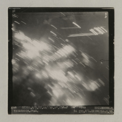
Heilbronn
A vertical aerial photograph of Heilbronn taken during an operation. A canal is visible in the centre running op to bottom but most of the image is obscured by light flashes.
It is captioned '3725 Skell. 4/5.12.44//NT. 8". 13800' 146° 1935…
It is captioned '3725 Skell. 4/5.12.44//NT. 8". 13800' 146° 1935…
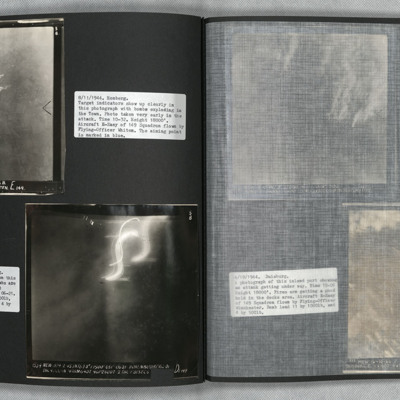
Homberg and Hohembudberg
Photo 1 is a vertical aerial photograph of Homberg. Bombs can be seen exploding in the town at the early stages of the attack.
Photo 2 is a vertical aerial photograph of Hohembudberg, Duisberg. It shows a night attack with incendiary bombs burning…
Photo 2 is a vertical aerial photograph of Hohembudberg, Duisberg. It shows a night attack with incendiary bombs burning…

