Browse Items (133 total)
- Contributor is exactly "Stuart Cummins"
Sort by:
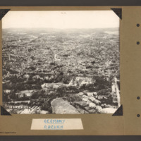
Aachen
Oblique aerial photograph of Aachen. The Stadtpark is in the foreground and the circular Roland Plasse in the bottom right. The Cathedral is centre right. A third of the way up a tree line boulevard runs from left to right with some large detached…
Tags: aerial photograph; Cook’s tour
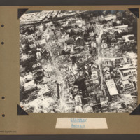
Aachen
Oblique aerial photograph of the town of Aachen with a large number of multistory buildings, the majority of which are damaged and without roofs. A railway runs from top left to centre top with some wagons on the left end, Two streets run slightly…
Tags: aerial photograph; bombing; Cook’s tour
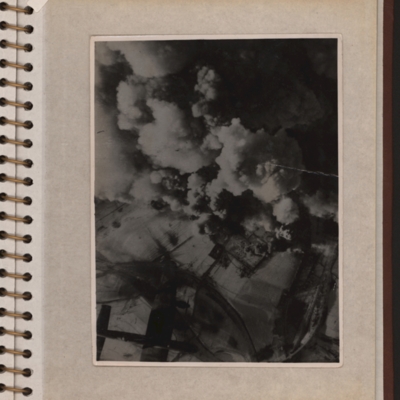
Aerial photograph with a Lancaster
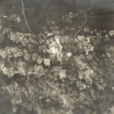
Vertical aerial photograph showing explosions and smoke coming up from what seems to be a power station or oil storage facility. There are two round towers or tanks partially visible through the smoke and the plant is surrounded by bomb-cratered open…
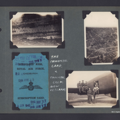
Aerial photographs, Mess Card and the Immortal Crew
Three photographs and copies plus One Mess Card from an album.
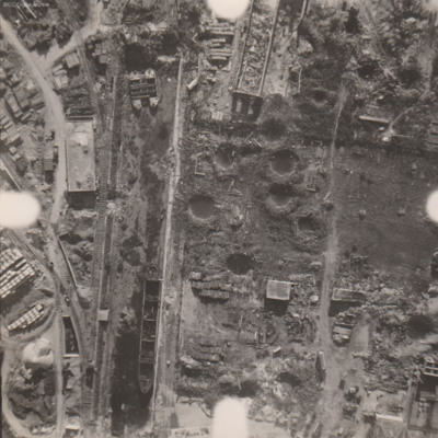
Photo 1 is an aerial photograph of part of the Hamburg docks, in the Steinwerder area. The lower dock is Kaiser Wilhelm Hafen, the dock above Is Kuhwerder, top right area series of…
Photo 1 is an aerial photograph of part of the Hamburg docks, in the Steinwerder area. The lower dock is Kaiser Wilhelm Hafen, the dock above Is Kuhwerder, top right area series of…
Tags: 218 Squadron; aerial photograph; bombing; Lancaster; mess; RAF Chedburgh
Airspeed AS 10 Oxford in fight
Air-to-air view of Airspeed AS 10 Oxford Mk.1 over a flat rural landscape with fields and woodland.
Tags: Oxford
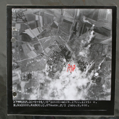
Alvis 2 target area
Target photograph of rural area with villages visible top left and centre with connecting roads and tracks. Annotated with "A/P" aiming point in red ink to right of centre which is obscured by smoke and target marker flares. Tank ditch zig zags…
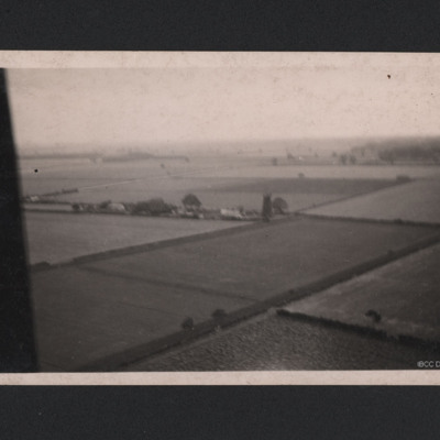
Anti-aircraft fire tower
A oblique aerial photograph taken at low level. Fields and hedgerows are visible with some buildings to the centre including a tall structure described on reverse of photograph as "German Flak Tower, Holland." Part of the aircraft canopy is seen on…
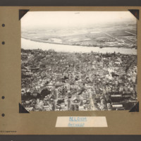
Antwerp
Oblique aerial photograph of Antwerp. The river Scheldt runs from left to right. On the far bank on the right there is a small built up area and a straight road runs from there into the distance. On the near bank a city with many multi storey…
Tags: aerial photograph
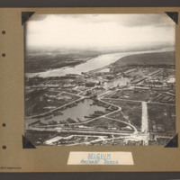
Antwerp Docks
Oblique aerial photograph of Antwerp docks with the river Scheldte running from middle left to right. On the far bank are town buildings. In the distance open countryside on both banks. In the centre a canal leads from the river inland leading to…
Tags: aerial photograph
Argenta
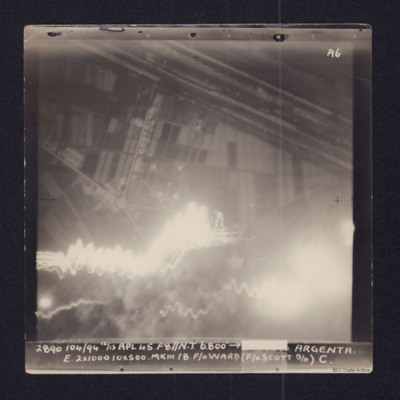
Target photograph showing fields in top half and town and roads below. Straight lines running top left to middle right are the River Reno and beyond it, the wider Canale Della Botte. Tracer lines in bottom left and explosions left and right bottom.…
Argentan Marshalling Yard
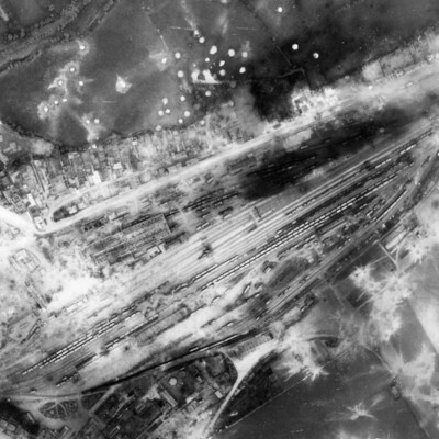
A vertical aerial photograph showing rail marshalling yard at Argentan. Road running parallel to railway tracks from lower left to upper right (now D158) with another joining from top left (now D238A). Argentan railway station is visible opposite…
Ault
Target photograph showing coastal village of Ault, just south of the Somme estuary. Coastline and beach can be seen, with village to the left with roads radiating out into countryside. Captioned '3, 9637.TIL.22/23.6.43//NT.8" 11000: 301.02.04.…
Bergen
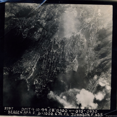
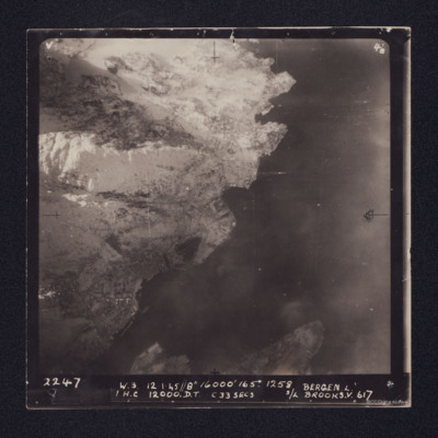
A near vertical aerial photograph of Bergen Harbour, showing its entire layout, with the town in the centre. In the town the seven-sided lake, Lille Lungegardsvannet, next to the Festplassen can be identified. Above this is the large body of water…
Bergen Submarine Pen
Target photograph of Bergen Submarine pen. Coastline runs bottom left to top right with sea to right. Ubåtbunkeren Bruno is the square structure in the centre of the image. The town of Bergen is in the left hand corner, with port facilities and…
Berlin
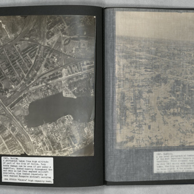
A vertical aerial photograph of Berlin showing heavy bomb damage. The body of water is the Rummelsburger See, with the railway station of Ostkreuz to the left of it at the confluence of railway tracks running from lower left to top right and from…
Berlin
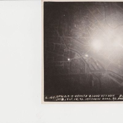
A target photograph of Berlin orientated with south-east to the top. In the upper right corner the Spree river winds it way through the city. In the middle of the photograph is a significant area of glare and just below this are the docks of…
Berlin Short Wave Station
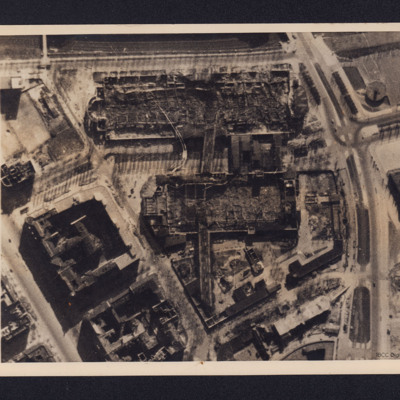
A vertical aerial photograph of bombed buildings. These are two exhibition buildings of the Charlottenburg Fairgrounds adjacent to the Berlin Short Wave Radio transmitter. On the reverse is a typed note dated 18 April 1944 explaining the function of…
Bielefeld: Vielesible viaduct
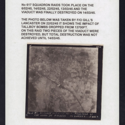
Target photograph of Bielefeld Viaduct. Railway runs left to right across centre with Johannisbach river running top to bottom and Gummibahn railway by-pass running from bottom centre and joining the main railway to left of viaduct. One or more bomb…
Bocholt
Left and right - side by side reconnaissance photographs showing the centre of the town of Bocholt with river Bocholter Aa flowing top to bottom with two distinctive bow’s to the right towards the top of the photograph. The large road crossing…
Bomb damage
Reconnaissance photograph at low level of goods yard with significant bomb damage with craters and destroyed buildings throughout. A drained canal runs top to bottom with large barge aground against quay and another smaller pair tied together at top.…
Bomb damage
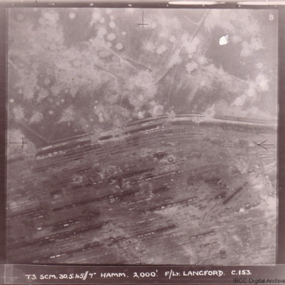
Four photographs of damage to German cities taken on two of the 'Cooks Tours' flown by no 153 Squadron.
The first has the caption 'T3 SCM 30.5.45//7" HAMM 2,000'. F/LT LANGFORD C.153 and shows Hamm railway marshalling yard with tracks running from…
The first has the caption 'T3 SCM 30.5.45//7" HAMM 2,000'. F/LT LANGFORD C.153 and shows Hamm railway marshalling yard with tracks running from…
Bomber Crew
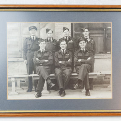
Seven airmen wearing battledress with brevet, three sitting on a bench and four standing behind. Pilot is sitting centre. Three of the airmen standing have significant medal ribbons displayed, particularly the AG second from right. In the background…
Bombing
A vertical aerial photograph of a daylight bombing operation. Six Lancasters can be seen at lower levels. Below them are lots of explosions and smoke. Open countryside, with few buildings but several minor roads, can be seen around the bombing area.
Bombing photographs
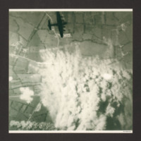
Target photograph shows extensive smoke from explosions obscuring the main part of the photograph. The surrounding view is of a rural area with fields and several converging minor roads. A Lancaster is visible top centre going from left to right.…
Bremen
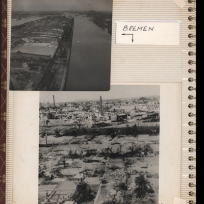
Top - oblique aerial photograph of Bremen port with river Weser to the left running bottom to top with dock to the right. Pier in between has extensive railway sidings to the left, warehouses in the middle are mainly without roofs but cleared of…
Tags: aerial photograph; bombing; Cook’s tour

