Browse Items (133 total)
- Contributor is exactly "Stuart Cummins"
Sort by:
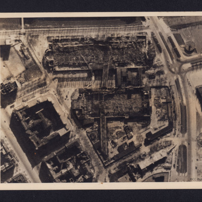
Berlin Short Wave Station
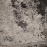
A vertical aerial photograph of bombed buildings. These are two exhibition buildings of the Charlottenburg Fairgrounds adjacent to the Berlin Short Wave Radio transmitter. On the reverse is a typed note dated 18 April 1944 explaining the function of…
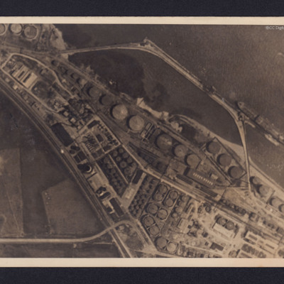
Donges Oil Refinery, France
Two reconnaissance photographs of the Donges oil refinery, near Nantes in France before and after the bombing operations.
The photographs were released for publication in newspapers.
The second photograph shows extensive damage with many buildings,…
The photographs were released for publication in newspapers.
The second photograph shows extensive damage with many buildings,…
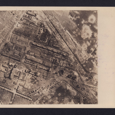
Gelsenkirchen Oil Plant
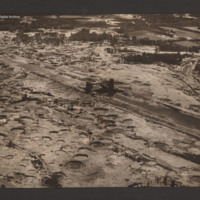
An aerial reconnaissance photograph of the oil plant at Gelsenkirchen. On the reverse is a typed note with brief details about the operation. It was intended for publication in newspapers. Bomb craters are visible throughout the photograph with much…
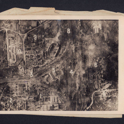
Heavy Damage After Big Allied Air Attack on Naples
A reconnaissance photograph showing bomb damage to an industrial area of Naples centred on railway marshalling yard. Extensive bomb craters and damage to the railway yards and surrounding buildings is visible throughout. Ten numbers are marked on the…
Sluice gate on the Dortmund Ems canal
Oblique aerial photograph taken at low altitude of the canal and sluice gate in centre. Surrounding area is covered in bomb craters with occasional vehicle track. The canal, mainly drained and with no vessels visible, runs from top left to bottom…
Tags: aerial photograph; bombing
Bremerhaven
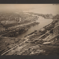
Oblique aerial photograph taken at low level showing port facilities, buildings, rail sidings and several vessels. The port is Bremerhaven. In the centre two waterways separated by a spur of land covered with dockyard buildings and cranes. On the…
Tags: aerial photograph
Bombing photographs
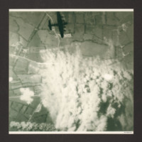
Target photograph shows extensive smoke from explosions obscuring the main part of the photograph. The surrounding view is of a rural area with fields and several converging minor roads. A Lancaster is visible top centre going from left to right.…
Nevers Railway Yards
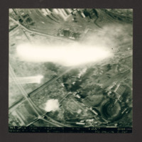
Target photograph of Nevers railway yards. Flak burst or photoflash obscures middle of photograph. Railway sidings and three roundhouses can be seen together with main railway line running from lower left to top right surrounded by built-up areas and…
Caen
Aerial reconnaissance photograph of Caen showing heavy bombing damage. A few gutted buildings are still standing and the roads have been cleared of debris. No traffic visible.
Additional information about this item has been kindly provided by the…
Additional information about this item has been kindly provided by the…
Tags: aerial photograph; bombing
Munich
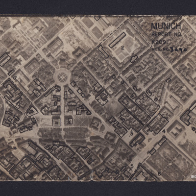
Vertical aerial reconnaissance photograph annotated 'Munich Report No K2091 Neg No 3090' and with a North arrow. No date. Photograph has been marked up to show bomb damage, with buildings outlined in black being those where the roof has been…
Tirpitz
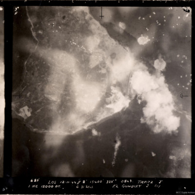
A vertical aerial photograph of the bombing of the Tirpitz. Much of the image is obscured by smoke and explosions. Tirpitz can be seen right of centre. Anti-aircraft fire can be seen to the top of the photograph. Three bomb explosions in the water…
Hudson in Flight
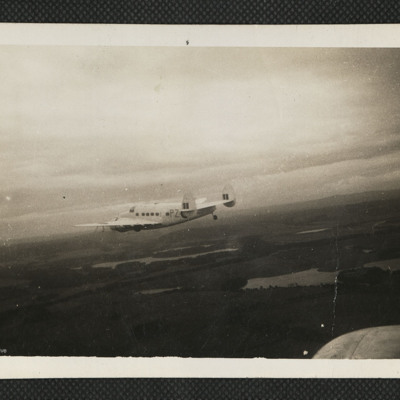
An air-to-air view of a white Hudson of 53 Squadron Coastal Command flying over lakes and forests.
Tags: 53 squadron; aerial photograph; Hudson
Crew of RAF Liberator
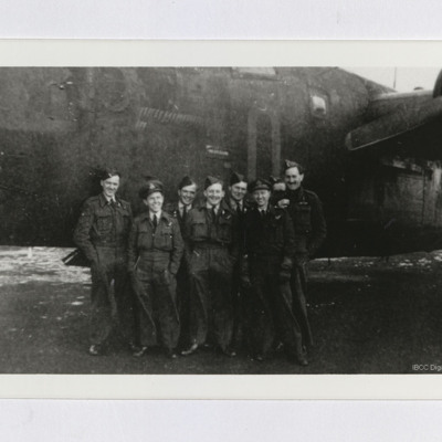
Eight airmen standing in front of nose of an RAF Liberator B. Mk VI. Considerable number of completed mission markers can be seen on the aircraft, which is coded "O" or "Q".
Tags: 223 Squadron; aircrew; B-24
Bergen
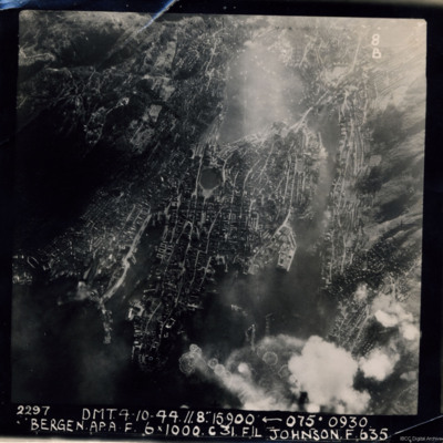
A near vertical aerial photograph of Bergen Harbour, showing its entire layout, with the town in the centre. In the town the seven-sided lake, Lille Lungegardsvannet, next to the Festplassen can be identified. Above this is the large body of water…
Ludwigshafen
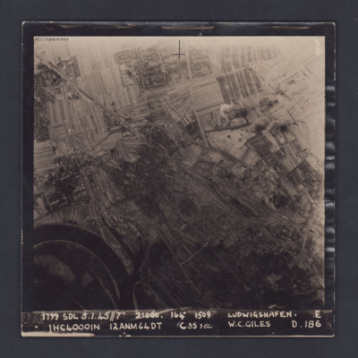
A vertical target photograph of Ludwigshafen, orientated with the south west at the top. In the lower left corner is a bend in the River Rhine and the entrance to Kaiserworthhafen docks. Just visible at the bottom edge is the end of Luitpoldhafen…
Cahagnes
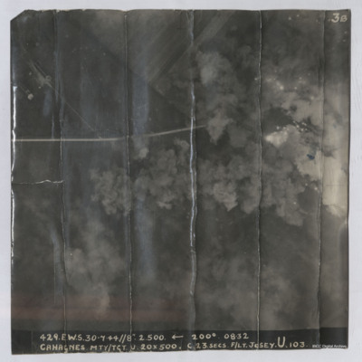
Target photograph shows explosions with dust and smoke clouds. Some target indicator flares are to right. Rural area with some buildings visible in top left with track crossing left to right. Captioned '429.E.W.S. 30.7.44//8" 2.500 200(Degrees) 08.32…
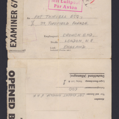
Letter to Pat Thirkell from Robert Hanslip
The letter is written from a Prisoner of War camp, Stalag Luft 1, in 1941. He says he is recovering from his burns and is feeling better. He looks forward to getting home and sends his best wishes. Several fellow prisoners of war are mentioned by…
Tags: 44 Squadron; prisoner of war; Stalag Luft 1
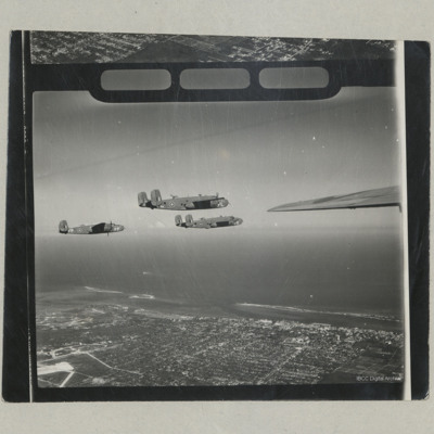
Three B-25 Mitchells in Flight
An air to air photograph of the starboard sides of three B-25 Mitchells Mk II from 111 OTU (Coastal Command) in flight over Nassau.
Tags: aerial photograph; B-25
Nieuwerkerk
Oblique aerial photograph of the village of Nieuwerkerk on the island of Schouwen-Duiveland. The church of Johanneskerk and its surrounding road is visible in the centre but the surrounding buildings, streets and farmland are flooded. Over the…
Tags: aerial photograph; C-47
Glider landing zone at Arnhem
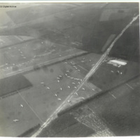
Oblique aerial photograph of glider landing zone LZ-S at Arnhem looking south. Numerous Horsas are scattered over six large fields and some are in a wood. Two in the left foreground have collided. The railway embankment runs left to right just beyond…
Tags: aerial photograph; Horsa
Glider landing zone at Arnhem
Oblique aerial photograph of glider landing zone LZ-S at Arnhem with Horsas scattered across four fields with a well defined track crossing from bottom left to top right (A12) and the railway embankment upper left running to top right.
The photo…
The photo…
Tags: aerial photograph; Horsa
Cap Gris Nez
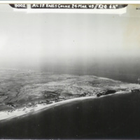
Oblique aerial photograph of a Cap Gris Nez. Beaches, dunes, fields and field boundaries can be seen with some buildings. Area behind beaches is covered in bomb craters. Captioned '6002 AC18 Earls Colne. 24 Mar 1945//K20 6 1/2'.
Identification…
Identification…
Tags: aerial photograph; RAF Earls Colne
Rockall islet
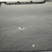
Oblique aerial photograph of Rockall islet, with rock centre of photograph. Captioned: '6012. AC26. Earls Colne 10 Apr’45//K20 6 1/2'.
The description of this item is partially based on information provided by the donor. This item was sent to…
The description of this item is partially based on information provided by the donor. This item was sent to…
Tags: aerial photograph; RAF Earls Colne
Glider landing zone at Wolfheze
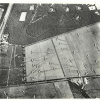
Reconnaissance photograph of gliders which have landed in a field, showing skid marks. The majority of the gliders are Horsa's, with three of the larger Hamilcar gliders visible in the field to the right. This is drop zone Z for Operation Market…
Tags: aerial photograph; Hamilcar; Horsa
Bridges on the Waal river at Nijmegen
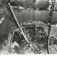
Reconnaissance photograph of a bend in the Waal river at Nijmegen, spanned by two cantilever bridges. The Waalbrug road bridge to the left and the Snelbinder rail bridge to the right. There are docks along river bank and jetties on the opposite side.…

