Browse Items (133 total)
- Contributor is exactly "Stuart Cummins"
Sort by:
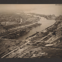
Bremerhaven
Oblique aerial photograph taken at low level showing port facilities, buildings, rail sidings and several vessels. The port is Bremerhaven. In the centre two waterways separated by a spur of land covered with dockyard buildings and cranes. On the…
Tags: aerial photograph
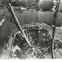
Bridges on the Waal river at Nijmegen
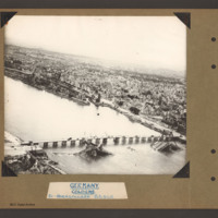
Reconnaissance photograph of a bend in the Waal river at Nijmegen, spanned by two cantilever bridges. The Waalbrug road bridge to the left and the Snelbinder rail bridge to the right. There are docks along river bank and jetties on the opposite side.…
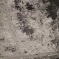
Caen
Aerial reconnaissance photograph of Caen showing heavy bombing damage. A few gutted buildings are still standing and the roads have been cleared of debris. No traffic visible.
Additional information about this item has been kindly provided by the…
Additional information about this item has been kindly provided by the…
Tags: aerial photograph; bombing
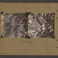
Caen Carpiquet airfield
Two side by side vertical photographs of Caen Carpiquet Airfield.
On the left a reconnaissance photograph orientated with east at the top. On the left side of the airfield with a single runway 13/31 running from bottom left towards the centre. A…
On the left a reconnaissance photograph orientated with east at the top. On the left side of the airfield with a single runway 13/31 running from bottom left towards the centre. A…
Cahagnes
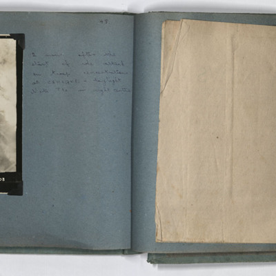
LH page, target photograph rural area with road running left to right and several buildings in top left. Many bomb explosions visible, captioned '429.EWS.30.7.44.//8" 2500 200(degrees) 0832.CAHAGNES MTT/TGT. U. 20 X 500.C.23 secs. F/Lt Josey. U.103'.…
Cahagnes
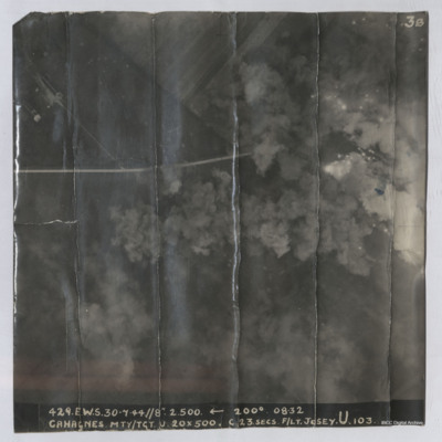
Target photograph shows explosions with dust and smoke clouds. Some target indicator flares are to right. Rural area with some buildings visible in top left with track crossing left to right. Captioned '429.E.W.S. 30.7.44//8" 2.500 200(Degrees) 08.32…
Calais Batterie Oldenburg and Batterie Waldam
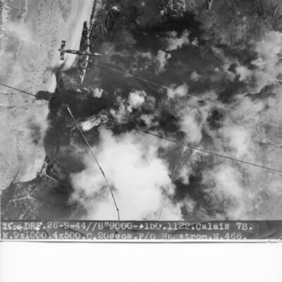
Target photograph of coastline and Batterie Oldenburg and Batterie Waldam. Port of Calais is just to bottom of the photograph Bomb explosions, smoke and target markers obscure the target. The beach is visible with many obstructions. Two Halifax III…
Cap Gris Nez
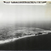
Oblique aerial photograph of a Cap Gris Nez. Beaches, dunes, fields and field boundaries can be seen with some buildings. Area behind beaches is covered in bomb craters. Captioned '6002 AC18 Earls Colne. 24 Mar 1945//K20 6 1/2'.
Identification…
Identification…
Tags: aerial photograph; RAF Earls Colne
Chemical works Cologne
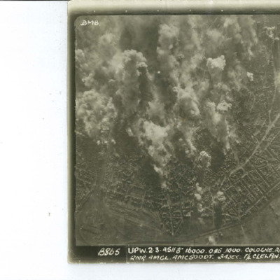
Oblique aerial photograph of river valley with roads, railways and at bottom left, a open area of water. At lower right one road runs from middle left to bottom centre which splits into three from two junctions. Railway line runs along road and…
Coblenz
A vertical aerial photograph of Koblenz in early 1945 showing widespread damage to buildings with large areas completely destroyed. Bomb craters can be seen in several places. A railway marshalling yard is to centre left and the railway lines then…
Cologne
Target photograph of Cologne orientated with North to the bottom left. The railway complex Koln-Neustadt-Nord is in the bottom left corner and the square outline of the lake known as Aachener Weiher is in the bottom right. The River Rhine and…
Cologne
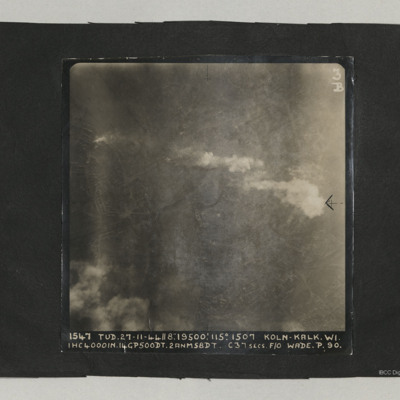
A target photograph taken on an operation at Cologne-Kalk. Bombs can be seen falling in lower right quadrant. Smoke is being emitted from near river bank top left. The River Rhine forms a curve from centre bottom to top left corner. Two bridges are…
Cologne cathedral
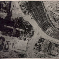
Low altitude aerial reconnaissance photograph showing damage to and around Cologne cathedral: the railway station is partially visible on the right with extensive damage to canopy and some track damage. Rubble has been cleared, several tramcars can…
Cologne Hohenzollern bridge
Oblique aerial photograph of the Hohenzollern bridge over the Rhine at Cologne. The river Rhine runs from left diagonally to the right, On the far bank a narrow parallel canal, the Rheinauhafen, beyond which is a city landscape of multistory…
Tags: aerial photograph; bombing; Cook’s tour
Cologne in ruins
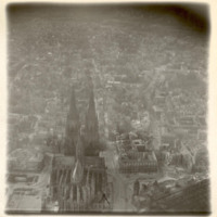
Oblique aerial photograph of Köln cathedral and surrounding area all showing heavy bomb damage. Photograph is looking west with railway station in the right hand corner.
Tags: aerial photograph; bombing; Cook’s tour
Cook's tour Cologne
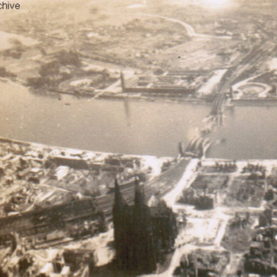
Oblique aerial photograph of a city with river running left to right with destroyed bridge. Cathedral and railway station on near bank. Submitted with caption 'Cologne Cooks tour'. River is river Rhine, destroyed and collapsed railway bridge is the…
Tags: aerial photograph; bombing; Cook’s tour
Crew of RAF Liberator
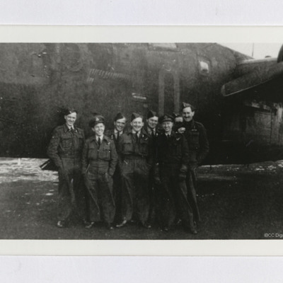
Eight airmen standing in front of nose of an RAF Liberator B. Mk VI. Considerable number of completed mission markers can be seen on the aircraft, which is coded "O" or "Q".
Tags: 223 Squadron; aircrew; B-24
Düren
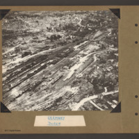
Oblique aerial photograph of Duren railway station and railway yards. In the centre a railway marshalling yard with multiple tracks towards the left side with many strings of railway rolling stock. In the centre slightly right is the main station…
Tags: aerial photograph; bombing; Cook’s tour
Düren
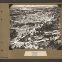
Oblique aerial photograph of Duren. A city landscape of largely destroyed buildings. A principle road runs from bottom left diagonally to top right. Another curved road runs from bottom left to the right side where it joins a further road running…
Tags: aerial photograph; bombing; Cook’s tour
Düren
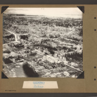
Oblique aerial photograph of destroyed city landscape with some standing multistory buildings, but primarily large areas reduced to rubble. A road runs from bottom right diagonally to centre left. Another runs from bottom left to middle right. Where…
Tags: aerial photograph; bombing; Cook’s tour
Deelen
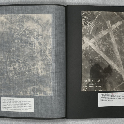
A vertical aerial photograph showing the airfield, south-west of Deelen, Arnhem. Three runways in the “A” configuration are seen, with the two main runways forming the top of the “A” at lower right. Hangars and other airfield buildings are to…
Domburg
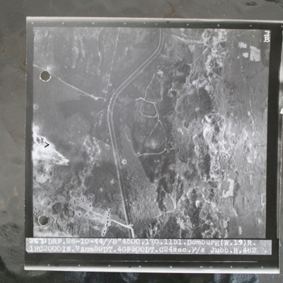
Target photograph of open heathland with canalised ditch running top to bottom. The ditch has tracks either side and several crossing points. Craters are visible, particularly in lower left with one row crossing ditch with one crater visible within…
Donges Oil Refinery, France
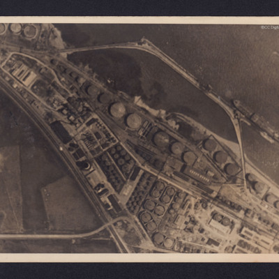
Two reconnaissance photographs of the Donges oil refinery, near Nantes in France before and after the bombing operations.
The photographs were released for publication in newspapers.
The second photograph shows extensive damage with many buildings,…
The photographs were released for publication in newspapers.
The second photograph shows extensive damage with many buildings,…
Dortmund
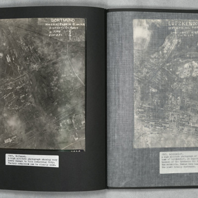
A vertical aerial photograph of Mainz Hoesch Benzin Synthetic Oil Plant, and Westfalenhutte steelworks located north-east of Dortmund city. The image shows cloud, craters, and extensive bomb damage amongst the predominately factory and other…
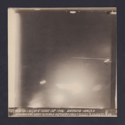
Dortmund-Hansa
Target photograph for an operation to Dortmund - Hansa. An area of glare occupies the lower part of the image and there is another down the left side. The rest is in darkness and n ground detail is visible. The photograph is annotated '6' and…

